


Bensåsleden - Garpenberg
- Vandring
- Trail-løb
- Amt: Dalarnas län
- 6691.62 km fra dig
Ruteoplysninger
- Længde 19.0 km
- Sværhedsgrad Grøn – enkel
Handlinger
I øjeblikket
Inventory and measures after the winter storms are ongoing. Some stretches still remain.
The pastures in Bensåsen have been expanded, which affects the trail. It should be possible to walk through the pastures in the future, but the ongoing work may affect accessibility. Those who want to walk around the pastures can follow the gravel road around the pastures, see the map.
Beskrivelse
Aktiviteter og faciliteter
- Vandring
- Trail-løb
Fakta
The trail is managed by the Garpenberg Local History Society.
Overflade
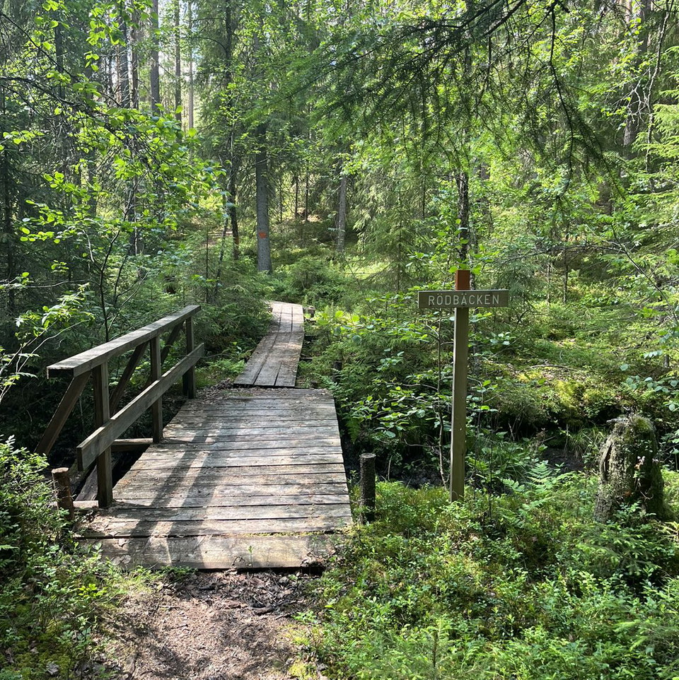
Mostly paths and old roads. Asphalt in the village of Garpenberg. Can be wet in some places part of the year.
Bakker
Steep climb from Erkers-fars village up to Bensåsgruvan.
Vegetation
New clearings and insect attacks on spruce mean that trees occasionally fall across the trail. They are dealt with accordingly, but obstacles can occur.
Parkering
Parking in Garpenberg is available at Garpenberg church or Gammelgården. Parking is also available in Bensåsen, in Konnsjön and at Krokbäcksvägen.
Rutevejledning
Från Hedemora åk väg 270 mot Långshyttan, därefter väg 735 mot Garpenberg.
Från Avesta riksväg 70 till Hedemora och vidare enligt ovan.
Parkering finns vid Garpenbergs kyrka eller Gammelgård.
Kontakt
Adresse
Telefon: 0225-340 00
E-mailadresse
kommun@hedemora.se
Jeg har været her 14



Jeg vil gerne derhen 47





Anmeldelser
—
1 anmeldelse
- 5 :
- 4 :
- 3 :
- 2 :
- 1 :
Spørgsmål og svar
Stil et spørgsmål til andre Naturkartan-brugere.
Brugernes billeder
Del dine billeder fra stedet!

Väldigt bra markerad led, fina omgivningar och för den historieintresserade finns bra skyltning med information om omgivningarna och gruvorna kring Garpenberg.