Børneeventyr

Dalarnas län

Billeder

Kort

50 Børneeventyr

Børneeventyr

Kort slinga i Troléns fotspår

  • Kommune: Leksand
  • 6624.78 km fra dig
  • 4.0 km
  • Sværhedsgrad: Blå

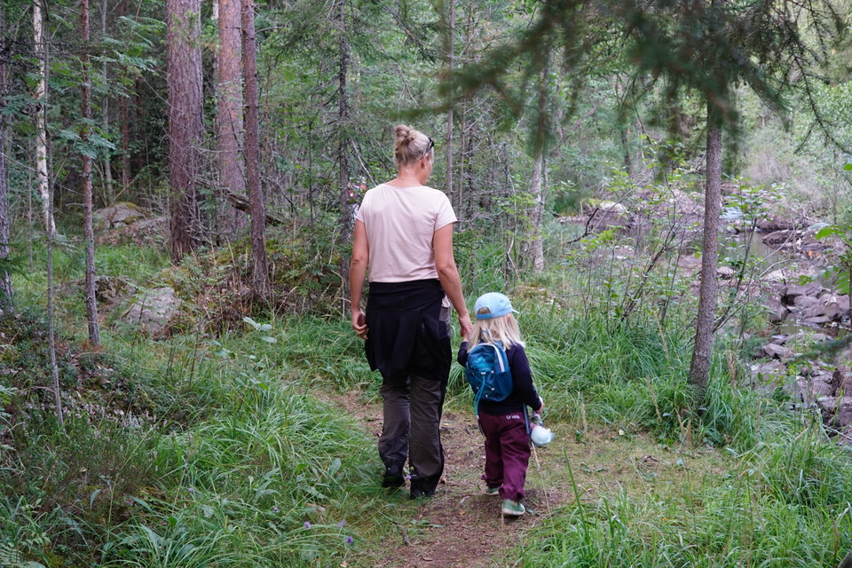
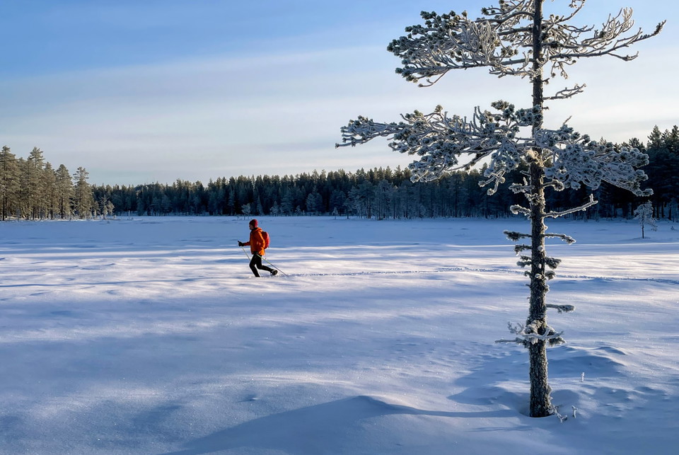
A shorter version of the mountain farm trail in Troléns footsteps. Exciting things happen here for the children along the way. Small stone trolls are waiting to follow someone around the loop. Along the way you can be a scavenger, visit Elsa's shepherd's hu…
Børneeventyr

Paradisbacken

  • Kommune: Borlänge
  • 6643.26 km fra dig

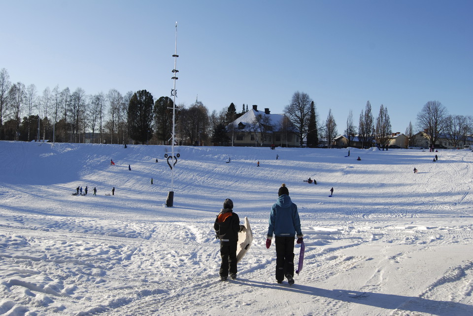
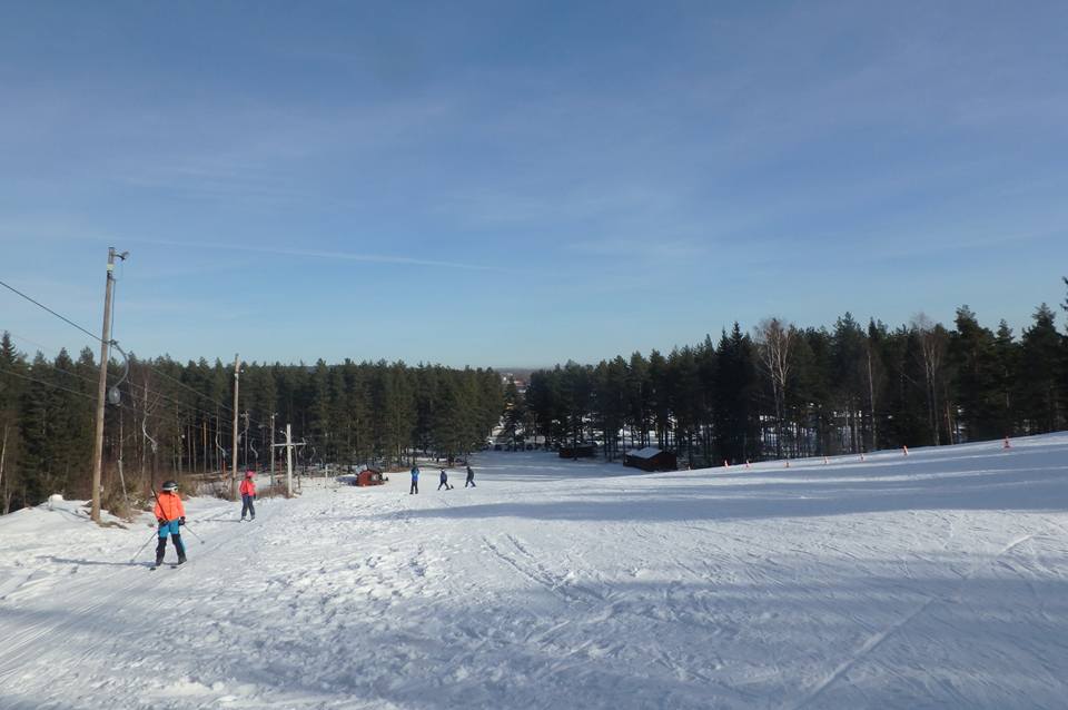
There is a small slope for downhill skiing and sledging. There are also opportunities for cycling, cross-country skiing, hiking and walking. The facility is run by Friluftsfrämjandet. Below the sledding hill there are two barbecue areas with new grills with…

Børneeventyr

Äventüren

  • Kommune: Smedjebacken
  • 6661.90 km fra dig

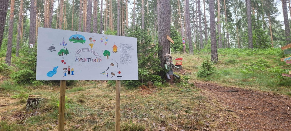
Fairytale path with its own imagination. Small hiking trail with activities for younger children. Here you can experience a realistic adventure with tricks & tricks, tricky obstacles, animal learning and not least imagination, creativity and movement in nat…

Børneeventyr

Pulkabacke & skidlek vid Källan

  • Kommune: Leksand
  • 6613.16 km fra dig

En backe för all form av utelek på vintern. Det finns en lampa att tända och släcka.

Børneeventyr

Skolskogen, Enån

  • Kommune: Rättvik
  • 6609.28 km fra dig

School forest with barbecue area and obstacle course.

Børneeventyr

Filurius Äventyrsbana

  • 0.6 km
  • Sværhedsgrad: Grøn

A very simple trip but where both young and old can develop, laugh and experience the freedom of adventure.

Kulturmiljø

Per Gynts grotta

  • Kommune: Borlänge
  • 6639.15 km fra dig

Visit a cave with an eerie history. The highwayman Per Gynt is said to have lived here with a snake and a wolf.

Vandring

Snögubben-Stensjön t.o.r.

  • Kommune: Sälen (Malung-Sälen)
  • 6502.83 km fra dig
  • 3.0 km
  • Sværhedsgrad: Grøn

An easy hike suitable for the whole family, the hike is partly on footbridge and gravel path. Take the opportunity to do Sälen's mountain quiz via the QR codes you will find along the trail.

Vandring

Långa Skogssjörundan

  • Kommune: Hedemora
  • 6684.06 km fra dig
  • 7.0 km

Långa Skogssjörundan är en sju kilometer lång vandringsled i Stjärnsund. Leden letar sig genom den lilla orten Stjärnsund, förbi kyrkan och vidare längs sjön Grycken. Lite senare vandrar du längs den gamla järnvägen.

Vandring

Vandring längs Lurån

  • Kommune: Falun
  • 6640.69 km fra dig
  • 2.1 km

An excursion along the Lurån River is a great family adventure. It will be extra exciting if you come here in September or October when it is possible to watch trout that make their way up the river from Rogsjön to spawn. The easy way from the parking lot a…

Vandring

Vandringsled runt Stadssjön

  • Kommune: Hedemora
  • 6683.84 km fra dig
  • 3.4 km

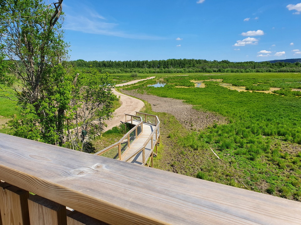
The municipal nature reserve Stadssjön is a green oasis in the urban parts of the Hovran area. Hedemora municipality is now investing heavily in making the reserve accessible. Along the hiking trail you can walk or roll straight through wetlands, experience…

Minedrift/Geologi

Flogbergets gruvor

  • Kommune: Smedjebacken
  • 6657.45 km fra dig

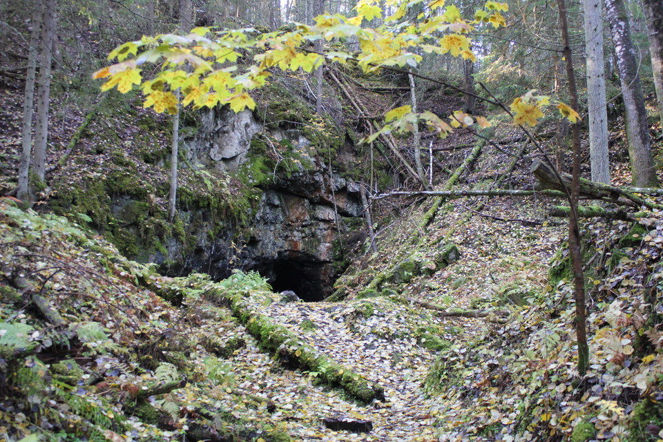
Flogberget mine is one of Sweden's few visitor mines. The mine is located high up with a mile-wide view of Lake Leran. Iron ore has been mined here since the 16th century, but it was in 1873 that mining started on a larger scale. Exciting for the visitor is…

Vandring

Svärdsjöstigen

  • Kommune: Falun
  • 6654.25 km fra dig
  • 2.0 km
  • Sværhedsgrad: Grøn

Svärdsjöstigen is Svärdsjö's own "beach walk" that stretches two kilometers along Svärdsjön between Gruvbacken and Höganäsbadet. The trail is graveled and easy to roll with a stroller. There are no big hills here either, apart from a short climb up towards…

Vandring

Konnsjöleden

  • Kommune: Avesta
  • 6695.85 km fra dig
  • 4.0 km
  • 1 t
  • Sværhedsgrad: Grøn

Konnsjöleden is a 4 km long trail between Konnsjön and Bensåsen, right in the border area between Avesta and Hedemora municipalities. After a few kilometers of hiking, you will find the popular destination Erkers-Fars ort or Morfars ort, an approximately 80…

Naturkartan

Åbn dette i appen