



-
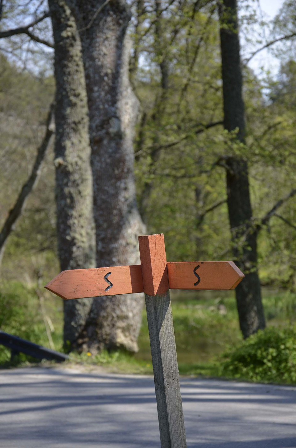
Foto Olof Näslund -
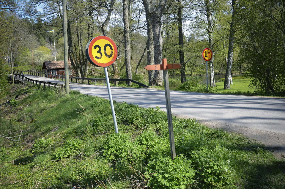
Foto Olof Näslund
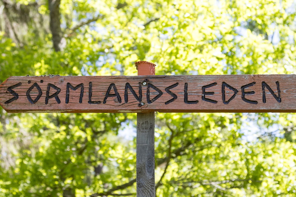
Sillekrog - Hungaskogen, Sörmlandsleden, etapp 55:1
- Vandring
- Løb
- Amt: Södermanlands län
- 6826.52 km fra dig
Ruteoplysninger
- Længde 16.0 km
- Sværhedsgrad Blå – mellem
Handlinger
Beskrivelse
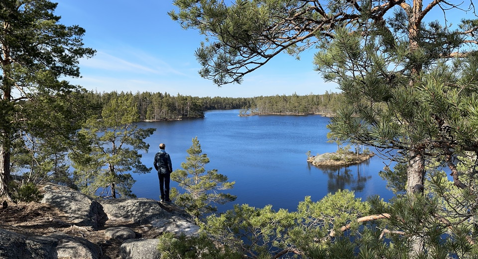
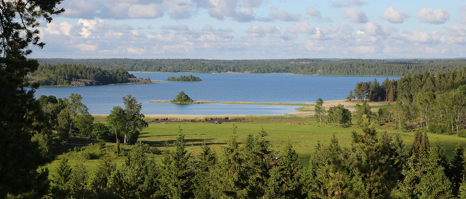
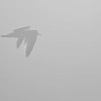
Begin your journey by visiting the chapel located on the east side of the motorway. The trail follows a very old national road for about 3 km, where at the end of it you can see the remains of an execution site (see map key). After that there is beautiful open countryside and you can see some old Sörmländ farmhouses before you continue into the route's first hilly forest area, where you can see out over open fields and lake Sillen where Trosaån (Trosa river) begins. From the trail it is about 200m down to lake Sillen and the beach. Soon you will see a rough and old spruce (guess the age). After that, the trail passes over the old E4 road and then over Trosaån to follow it through Vagnhärad. After the river you can see old foundations and remains from a dam that supplied Nygård with electricity. With some luck you can see a heron. The trail continues along the river and reaches a pond with remains of a mill building with a salmon ladder. The trail then goes under the railway line on a walkway that was built in 1997 after a hillslide, where eight villas slipped down into the river. You then leave Vagnhärd and into a forest area and arrive on a country road that goes through a couple of farms. Just before the end you can quench your thirst in a very old cold fresh water hole. The sign will then direct you towards Trosa or Gisekvarn.
Aktiviteter og faciliteter
- Løb
- Vandring
Fakta
The Sörmlandsleden trail is free to walk on and is run by a non-profit organization. Become a member of the association to support the continued life of the trail and get access to maps.
Parkering
Parking at Sillekrog and in Vagnhärad.
Rutevejledning
From Vagnhärad station you can follow the old E4 road west for about 500 meters to the trail that passes over the road there
Kontakt
E-mailadresse
Trosa kommuns turistcenter
Organisationens logotype

Jeg har været her 3
Jeg vil gerne derhen 9
Spørgsmål og svar
Stil et spørgsmål til andre Naturkartan-brugere.
Anmeldelser
0 anmeldelser
- 5 :
- 4 :
- 3 :
- 2 :
- 1 :
Brugernes billeder
Der er endnu ingen brugerbilleder. Vær den første til at dele et!