Naturkartan på ny teknisk plattform

Naturkartan har bytt teknisk plattform. Driftstörningar kan förekomma på webb och i app under inkörningsperioden. Rapportera problem till emil@outdoormap.com.

Læs mere
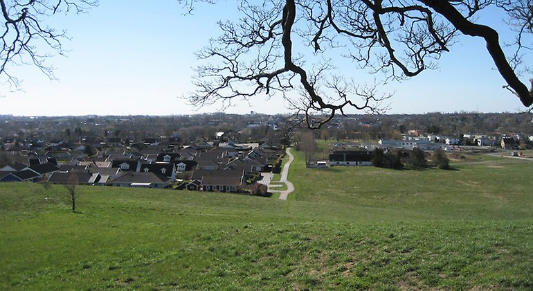
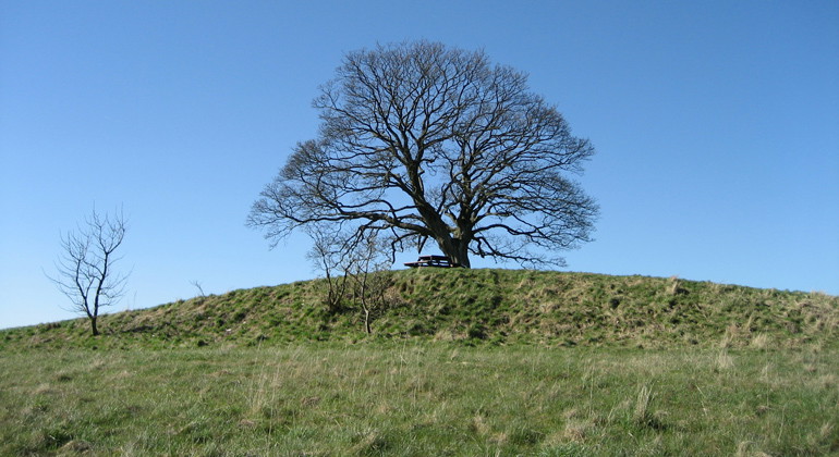
  • Utsikt från backen.
    Utsikt från backen.
    Foto: Jörgen Nilsson
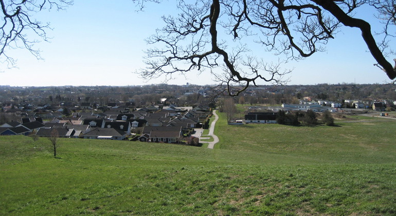
  • Utsikt från backen.
    Utsikt från backen.
    Foto: Jörgen Nilsson
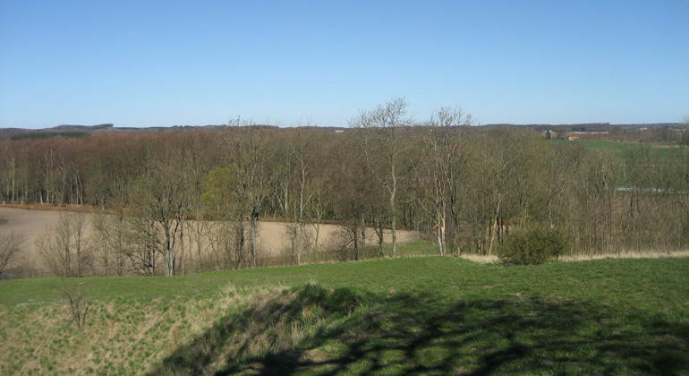
  • Utsikt från backen.
    Utsikt från backen.
    Foto: Jörgen Nilsson
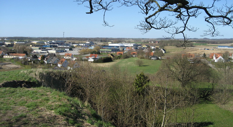
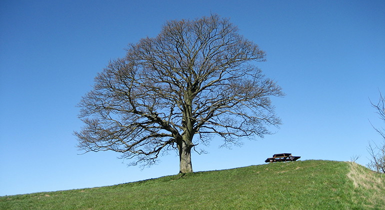
  • Lönnen på toppen av backen.
    Lönnen på toppen av backen.
    Foto: Jörgen Nilsson
  • På toppen av backen står en tysklönn.
    På toppen av backen står en tysklönn.
    Foto: Jörgen Nilsson

Zimmermans backe, Naturreservat

  • Naturreservat
ud af 5 stjerner

Handlinger

Beskrivelse

Zimmermans backe is a small nature reserve on a high hill on the northern outskirts of Skurup. From the top, which rises about 25 meters above Skurup's community, there is a lovely view of the surroundings. At the top of the hill grows a magnificent German maple that has become something of a symbol of Skurup.

Majestic German maple

Zimmerman's hill is located on the outskirts of northern Skurup. The hill is mostly made up of glacial river material and at the top stands a mighty German maple, or sycamore maple as the tree is also called. The German maple is an introduced and cultivated species that can easily outcompete native tree species. Almost at the top of the hill are the remains of a former gravel pit that was once used as a gun range.

Who was Zimmerman?

The name Zimmerman's Hill comes from Joachim C.F. Zimmerman, a farmer who immigrated from Mecklenburg in Germany and farmed the land around the hill in the 19th century. However, the tree itself was planted by a farmer from the Svaneholm estate named Ekdahl, at Zimmerman's request.

Sweden's southernmost slalom competition

During winters with snow, Zimmerman's slope is a popular toboggan run, but for a period in the 1980s there was even a ski lift on the slope. In 1985, Sweden's southernmost slalom competition to date, a district championship in giant slalom, was held on the hill with the 200-meter long downhill run.

Vejrudsigt (kl. 12.00)

Indlæser...

Kom hertil med offentlig transport

Aktiviteter og faciliteter

  • Naturreservat

Fakta

Established: 1961

Size: 2 hectares

Municipality: Skurup

Manager: Skurup municipality

Protection type: Nature reserve

Rutevejledning

Walk, cycle, take public transport or drive here. Map and directions via Google maps or coordinates (WGS84).

Regler

**Within the area, special rules and restrictions apply to the right of public access.

For example, it is forbidden to:

  • camping

Full regulations for visitors

In addition to regulations and prohibitions in other laws and regulations, the following prohibitions apply:

  1. waste of any kind may not be disposed of in the area.
  2. Camping may not be undertaken within the area, but in addition, the protection shall not prevent the public from staying there or traveling on foot over the area.

Jeg har været her 1

Jeg vil gerne derhen

Spørgsmål og svar

Stil et spørgsmål til andre Naturkartan-brugere.

Anmeldelser

0 anmeldelser

ud af 5 stjerner

5 :
0.0%
4 :
0.0%
3 :
0.0%
2 :
0.0%
1 :
0.0%

Brugernes billeder

Der er endnu ingen brugerbilleder. Vær den første til at dele et!

Naturkartan

Åbn dette i appen