Naturkortet på en ny teknisk platform

Naturkartan har skiftet til en ny teknisk platform. Der kan forekomme driftsforstyrrelser på hjemmesiden og i appen i indkøringsperioden. Indberet eventuelle problemer til emil@outdoormap.com.

  • Foto: Carina Zätterström
  • Foto: Marie Björkander
  • Foto: Carina Zätterström
  • Foto: Carina Zätterström
  • Uggleskogen.
    Uggleskogen.
    Foto: Carina Zätterström
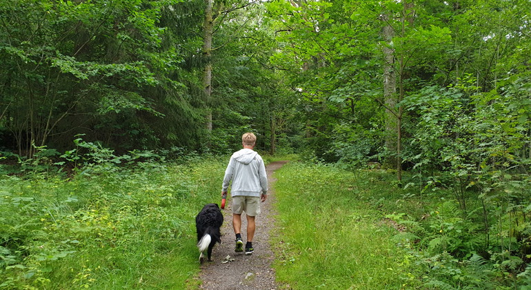
  • Stig i bokskogen.
    Stig i bokskogen.
    Foto: Marie Björkander

Uggleskogen, Naturreservat

  • Naturreservat
ud af 5 stjerner

Handlinger

Beskrivelse

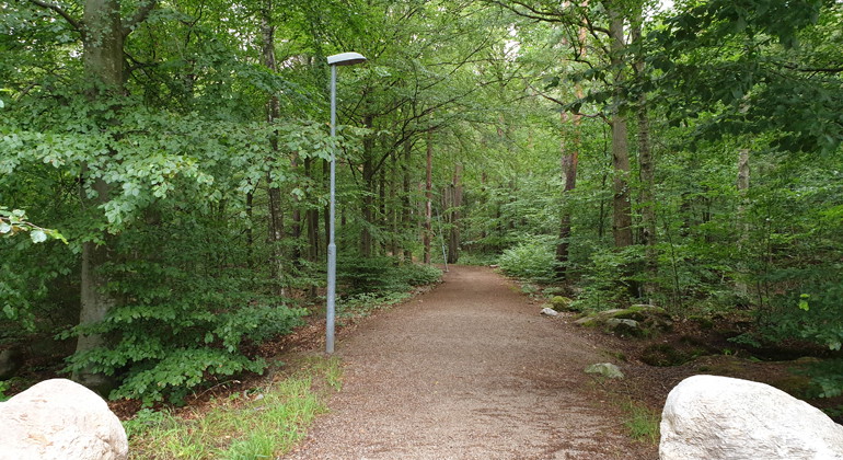
Uggleskogen is a municipal nature reserve in Perstorp municipality. The reserve is located directly adjacent to Perstorp's urban area and is linked to the Mulleskogen nature reserve to the north. Together, the two reserves close to the town form a popular area for outdoor activities.

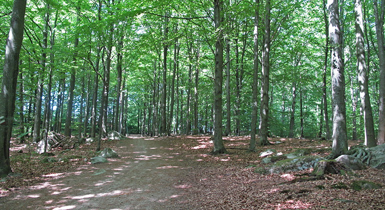
Urban beech forest

Uggleskogen consists mainly of beech forest. The oldest trees may have grown as early as the end of the 18th century. As some of the trees have reached a considerable age of a couple of hundred years, there are plenty of tree trunks with holes and decaying wood. The dead wood is home to beetle larvae, which in turn provide food for various woodpecker species, among others. In Uggleskogen, the great spotted woodpecker, the common chough, the green lizard and the lesser spotted woodpecker have all been observed.

Red-listed lichens

The old trees are also home to several different lichens and mosses. Among the lichens, red-listed species such as the beech wart lichen, lung lichen and dwarf beech lichen can be mentioned.

Wetlands and stone walls

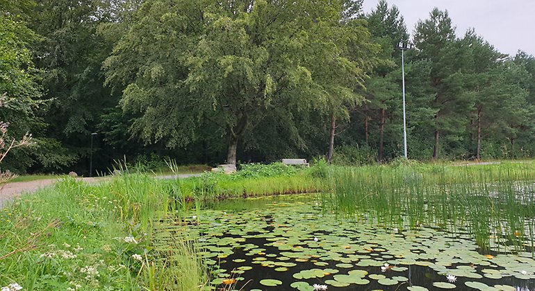
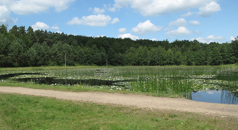
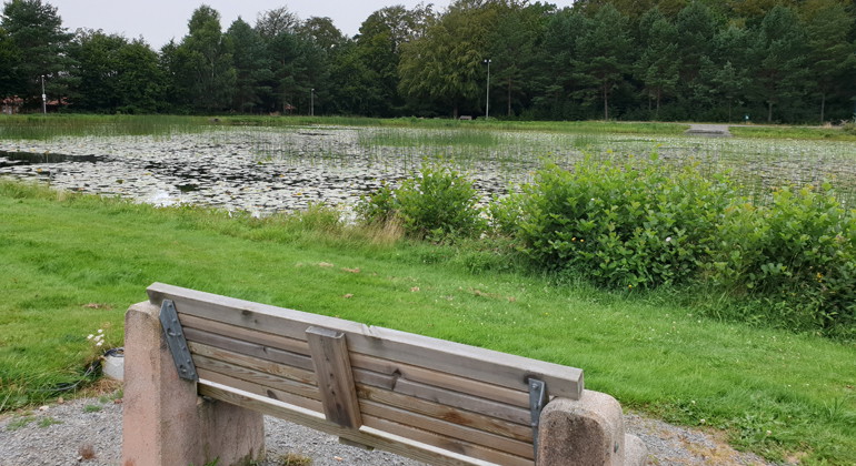
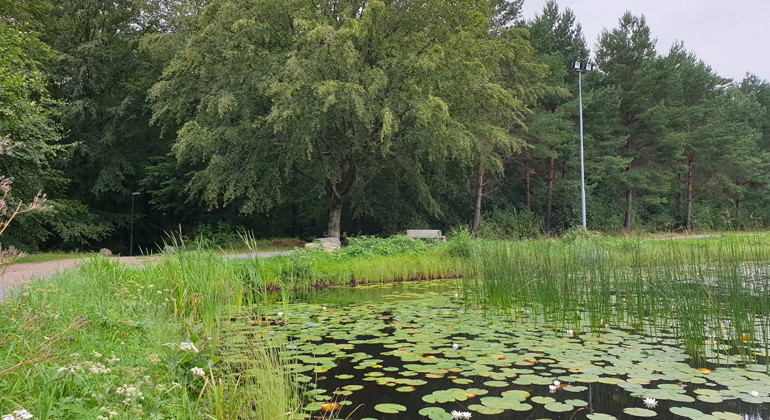
Uggleskogen also contains a stream and a small pond. At these, the forest changes character and the beech trees are replaced by swamp forest with mainly alder and birch.

A number of stone walls that once formed property boundaries run through the reserve. The area also contains a couple of areas of meadow remnants that remind us that the forest was once much more open.

Outdoor life

Uggleskogen is located on the eastern edge of Perstorp, close to the swimming and sports facilities. There are several exercise trails and paths in the reserve. Remember to take your rubbish home.

Vejrudsigt (kl. 12.00)

Indlæser...

Kom hertil med offentlig transport

Aktiviteter og faciliteter

  • Naturreservat

Fakta

Established: 2002

Size: 37 hectares

Municipality: Perstorp

Manager: Perstorp municipality

Protection type: Nature reserve and Natura 2000

Rutevejledning

Walk, cycle, take public transport or drive here. Map and directions via Google maps or coordinates (WGS84).

Regler

**Within the area, special rules and restrictions apply to the right of public access.

For example, it is forbidden to:

  • make fires
  • camping
  • setting up a caravan/mobile home
  • riding outside designated bridleways
  • cycling outside paths and roads

It is important to note that this is only a selection of the rules.

Full regulations for visitors

In addition to regulations and prohibitions in other laws and regulations, it is forbidden to:

  1. making fires
  2. drive a motorized vehicle,
  3. camping or setting up a caravan, motor home or similar,
  4. depositing garden waste
  5. damage living or dead standing or lying trees and shrubs and damage vegetation in general, for example by digging up plants
  6. affixing boards, signs, inscriptions, posters, signs or similar devices, with the exception of information and reserve signs and boundary markers
  7. organize a motorcycle race,
  8. riding outside marked trails,
  9. cycling outside paths and roads.

Jeg har været her 1

Jeg vil gerne derhen

Spørgsmål og svar

Stil et spørgsmål til andre Naturkartan-brugere.

Anmeldelser

0 anmeldelser

ud af 5 stjerner

5 :
0.0%
4 :
0.0%
3 :
0.0%
2 :
0.0%
1 :
0.0%

Brugernes billeder

Der er endnu ingen brugerbilleder. Vær den første til at dele et!

Naturkartan

Åbn dette i appen