Naturkartan på ny teknisk plattform

Naturkartan har bytt teknisk plattform. Driftstörningar kan förekomma på webb och i app under inkörningsperioden. Rapportera problem till emil@outdoormap.com.

Læs mere
  • Sandön.
    Sandön.
    Foto: Mats Sjöberg
  • Foto: Jörgen Nilsson
  • Foto: Jörgen Nilsson
  • Foto: Jörgen Nilsson
  • Foto: Eva Ohlsson
  • Foto: Carina Zätterström
  • Foto: Carina Zätterström
  • Foto: Carina Zätterström
  • Foto: Carina Zätterström
  • Foto: Carina Zätterström
  • Foto: Carina Zätterström
  • Foto: Carina Zätterström
  • Foto: Jörgen Nilsson
  • Sandön.
    Sandön.
    Foto: Mats Sjöberg
  • Sandön.
    Sandön.
    Foto: Mats Sjöberg
  • Vegeå, Utvälinge.
    Vegeå, Utvälinge.
    Foto: Mats Sjöberg
  • Vegeåns mynning.
    Vegeåns mynning.
    Foto: Jörgen Nilsson
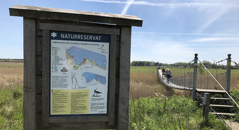
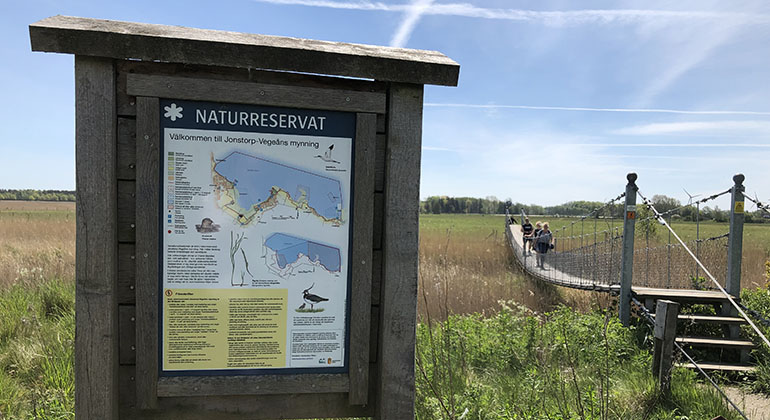
  • Välkommen till Jonstorp-Vegeå mynning
    Välkommen till Jonstorp-Vegeå mynning
    Foto: Carina Zetterström
  • Rikt djurliv både ovan och under ytan
    Rikt djurliv både ovan och under ytan
    Foto: Mats Sjöberg

Jonstorp-Vegeåns mynning, Naturreservat

  • Naturreservat
ud af 5 stjerner

Handlinger

Beskrivelse

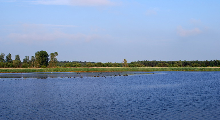
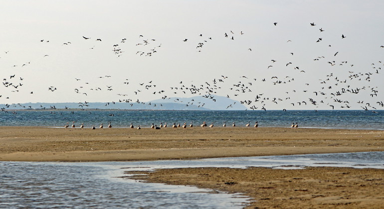
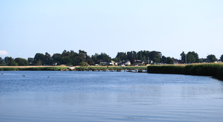
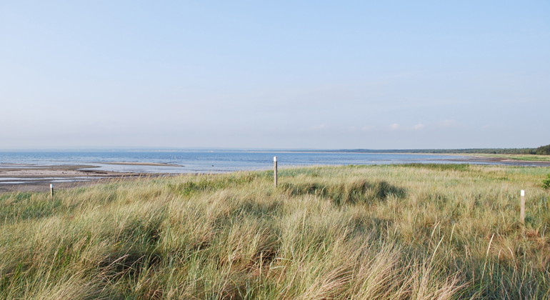
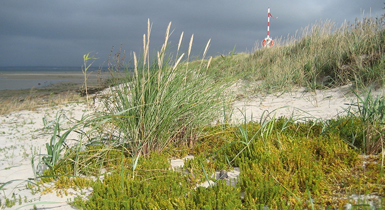
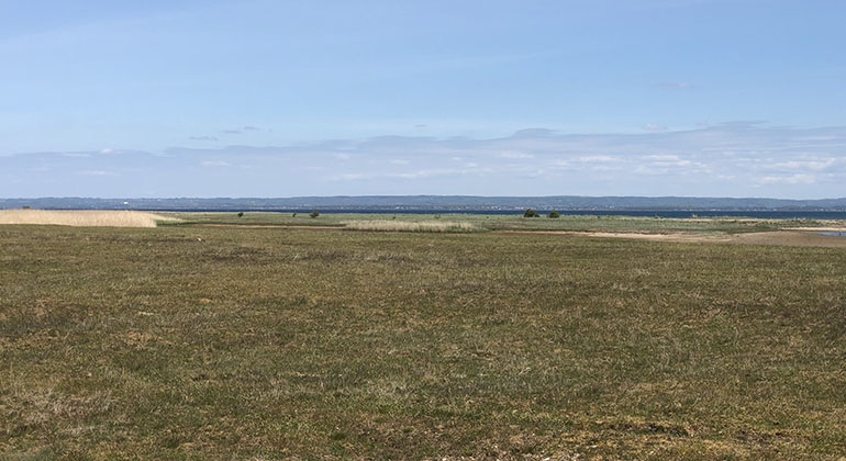
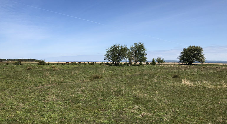
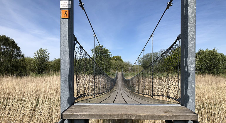
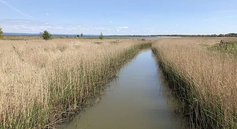
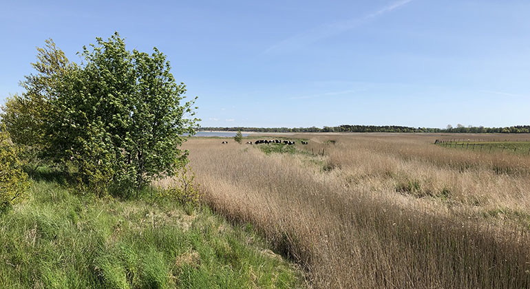
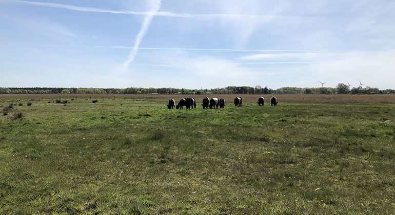
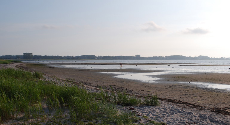
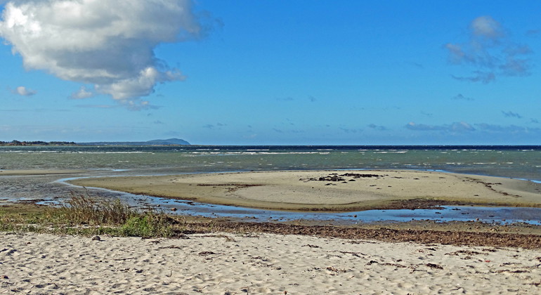
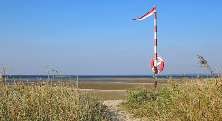
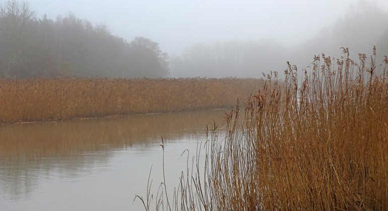
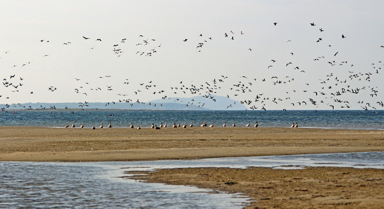
Here in the Jonstorp-Vegeån nature reserve, the deciduous forest meets the grazed beach meadows, the dunes and the sea. The nature reserve is both on land and in the water. Where the river flows into the sea, salt and fresh water mix, and there is plenty of life here. Beyond the shores, Skälderviken spreads out with shallow sandy bottoms, eelgrass beds and shifting sandbanks. Wildlife is abundant, with good chances of seeing seabirds as well as harbor seals and porpoises. To protect and safeguard the wildlife, there are several areas in the reserve that it is not permitted to be in, for parts of or throughout the year.

Vejrudsigt (kl. 12.00)

Indlæser...

Kom hertil med offentlig transport

Aktiviteter og faciliteter

  • Naturreservat

Fakta

Established: 2014

Size: 1506 hectares

Municipality: Helsingborg, Höganäs

Administrator: County Administrative Board of Skåne

Protection type: Nature reserve and Natura 2000

Rutevejledning

Walk, cycle, take public transport or drive here. Map and directions via Google maps or coordinates (WGS84).

Regler

Within the area, special rules and restrictions apply to the right of public access. Here it is among other things forbidden to:

  • driving a vessel at sea faster than 7 knots
  • keeping a dog unleashed
  • camping
  • setting up a motorhome/caravan overnight
  • driving or launching jet skis or personal watercraft
  • stay in areas where access is prohibited, see maps on the County Administrative Board's website.
  • kite- or windsurfing in areas marked "no kite- or windsurfing", see maps on the County Administrative Board's website.

You can read the full regulations on the County Administrative Board of Skåne's website.

Kontakt

Adresse

Under LÄNKAR kommer du till aktuell reservatssida på Länsstyrelsens webbplats, med fördjupande information som kartor, broschyrer och hänvisning till relevanta aktörer. Här finns även en rapportfunktion för dig som vill lämna uppgifter om naturreservaten som vi förvaltar.


E-mailadresse

skane@lansstyrelsen.se

Jeg har været her 2

Jeg vil gerne derhen

Spørgsmål og svar

Stil et spørgsmål til andre Naturkartan-brugere.

Anmeldelser

0 anmeldelser

ud af 5 stjerner

5 :
0.0%
4 :
0.0%
3 :
0.0%
2 :
0.0%
1 :
0.0%

Brugernes billeder

Der er endnu ingen brugerbilleder. Vær den første til at dele et!

Naturkartan

Åbn dette i appen