
-
-
-
-
-
-
-
-
-
-
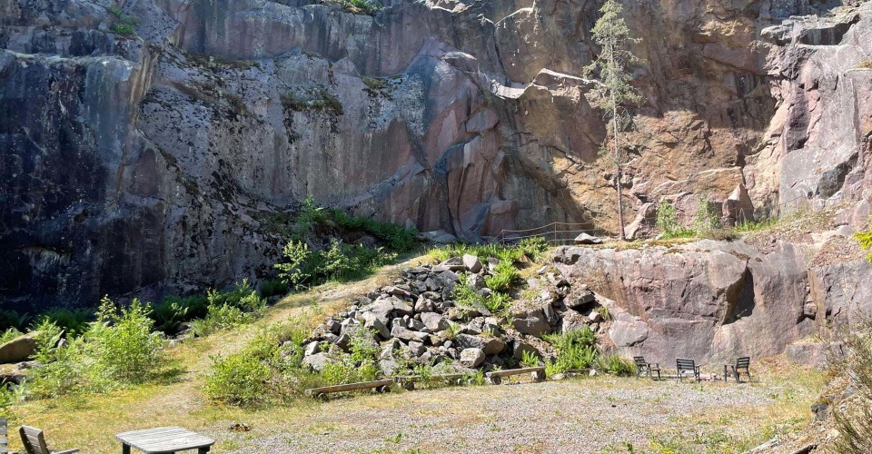
Stenbrottet Rödberget -
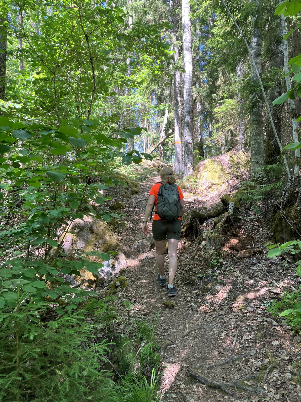
Hammarbacken
Åttan, Östgötaleden
- Rundbane
- Vandring
- Parkering i nærheden
- Tæt på toilettet
- Amt: Östergötlands län
- 6773.62 km fra dig
Ruteoplysninger
- Længde 14.0 km
- Sværhedsgrad Blå – mellem
Handlinger
Beskrivelse
A very nice loop through beautiful and easy to walk Kolmårds nature, which goes in a figure of eight from Sörsjön to Rödberget and Hammarbacken by Lake Näknen. Since the loop has the shape of a figure eight, it can be shortened to two loops of about 6 km and 8 km respectively.
At the Sörsjön recreation area there is a large parking lot, swimming area, barbecue area, several rest areas and toilets.
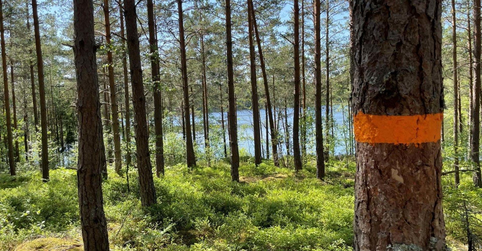
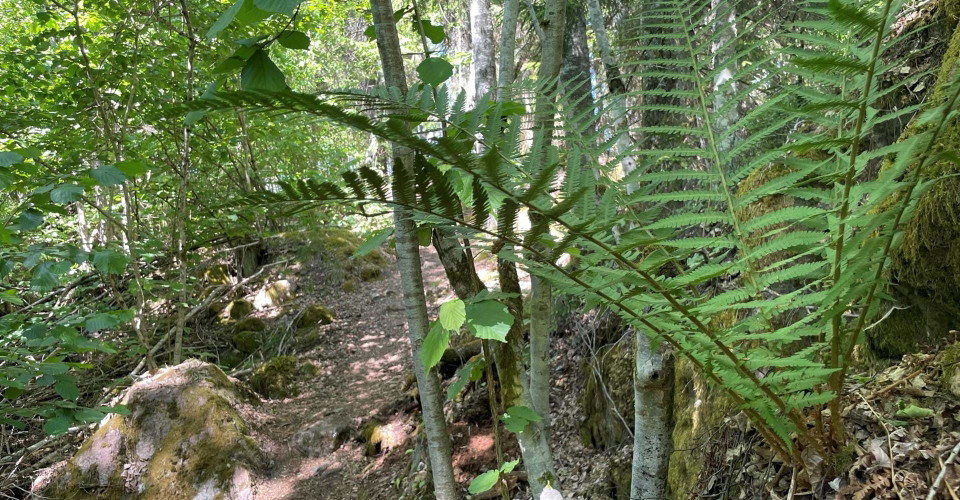
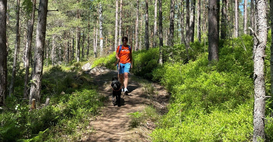
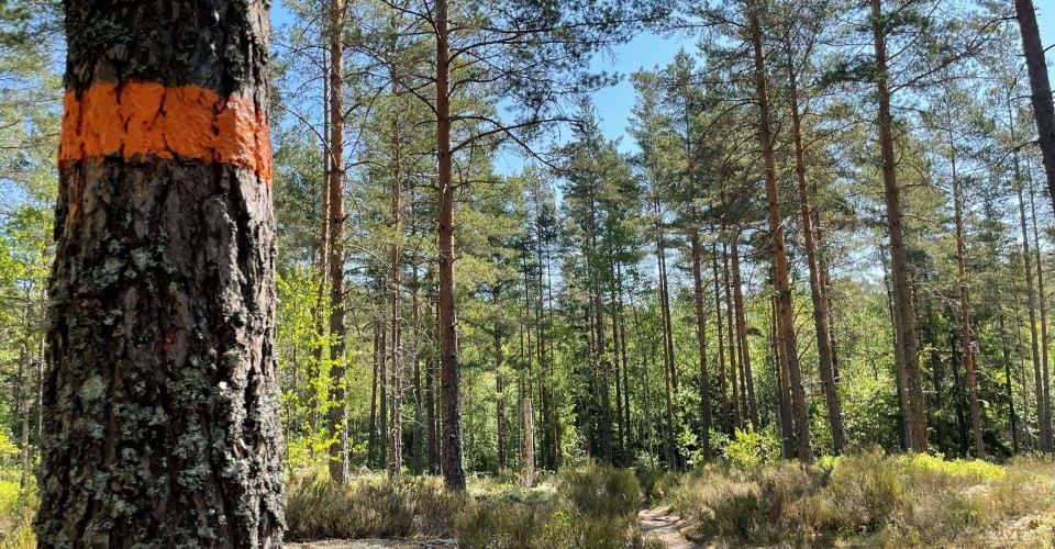
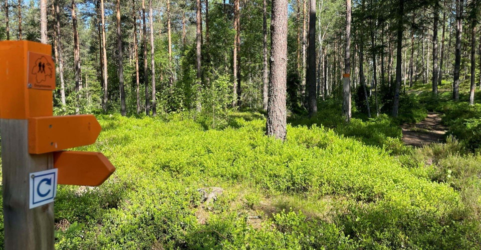
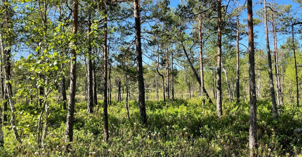
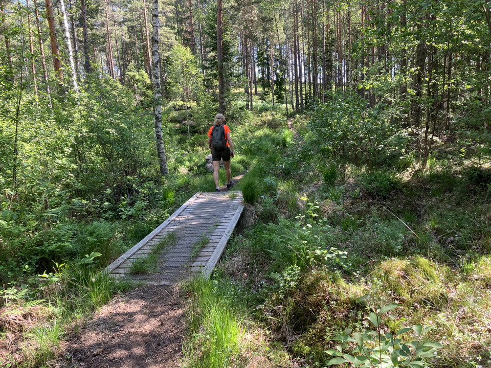
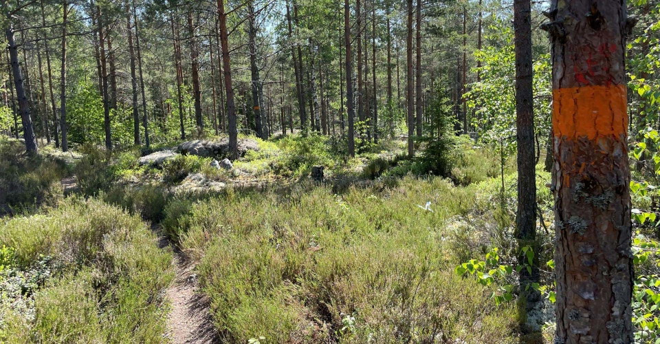
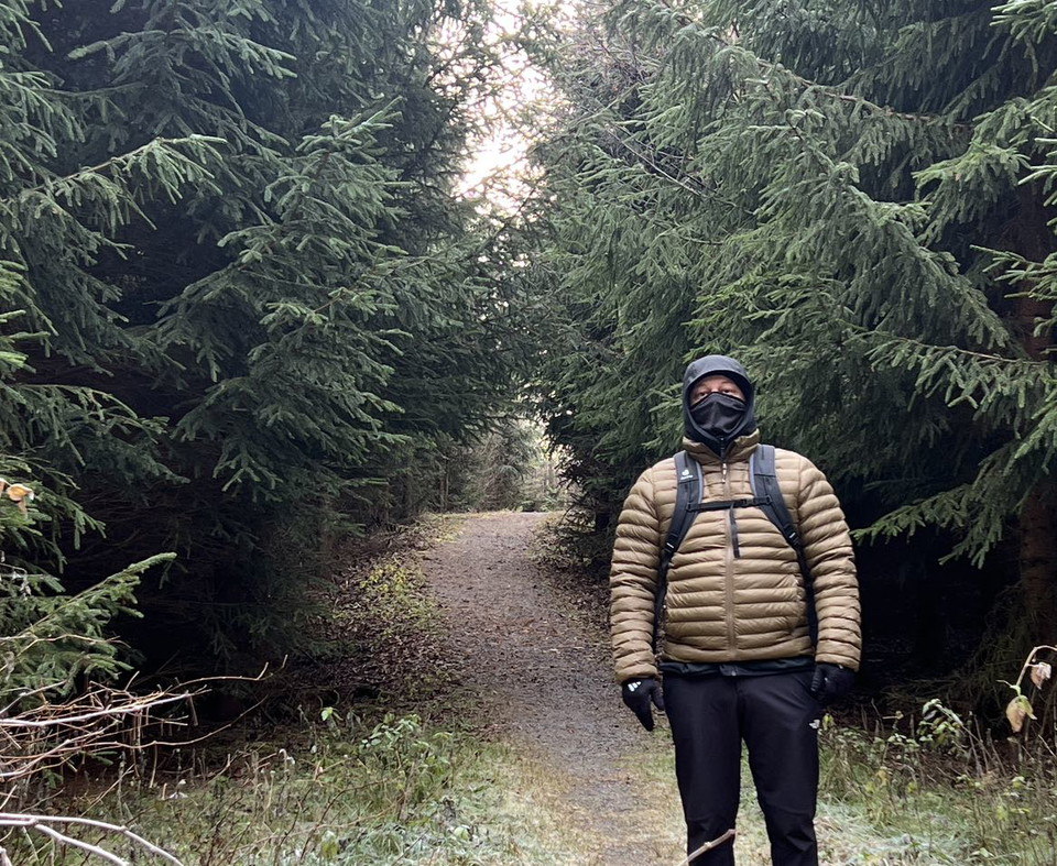
In this hiking-friendly part of Kolmården, between Sörsjön and Hammarbacken/Rödberget, the terrain is slightly to moderately hilly with some steeper sections at Sörsjön and Hammarbacken. The loop follows narrow and wide forest paths and small forest roads. The narrow paths can be a bit rocky and uneven. The loop is very suitable for walking with dogs. At Lake Skomakaren you can make a detour down to the water to let the dog drink and cool off. The trail runs through pine and spruce forests with elements of rocky areas, marshes, bogs and small lakes. Where the trail crosses wet areas, footbridges have been built. The ground vegetation often consists of heather, bilberry and lingonberry. Cranberries and typical marsh plants such as meadowsweet grow in bogs and fens.
A lot of farming history is gathered around Hammarbackssjön. At Hammarbacken, there has been a smithy and stone grinding mill dating back to the 18th century. A tunnel has been blasted in the rock to lead water to the forge and grinding mill. At the adjacent Rödberget, the red Graversfors granite has been quarried for the Riksdag building and the Royal Opera House.
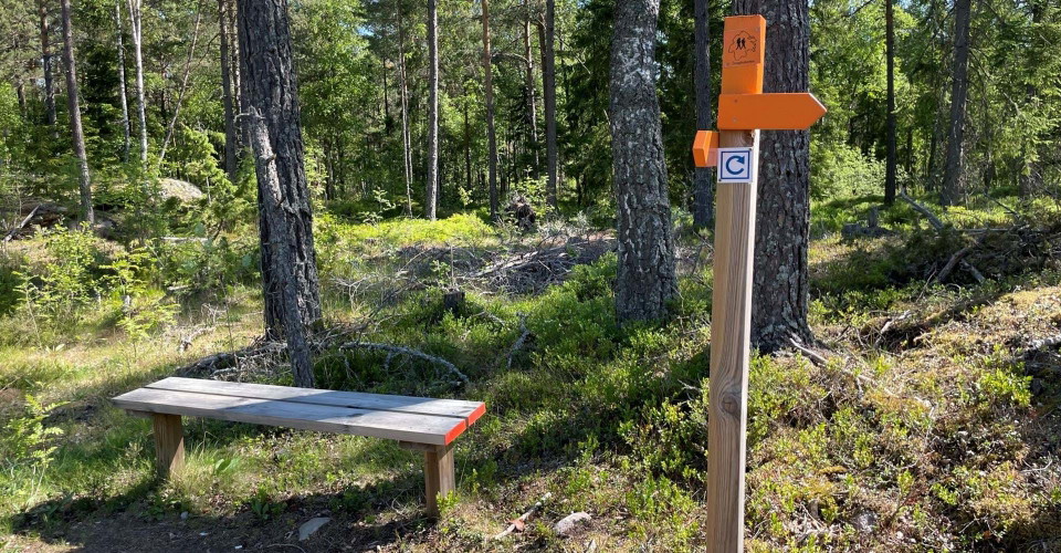
The route has no shelter, but there are several benches along the trail where you can rest for a while.
Aktiviteter og faciliteter
- Vandring
- Rundbane
Tilgængelighed
- Parkering i nærheden
- Tæt på toilettet
Kontakt
Adresse
Välkommen till Östgötaleden, 150 mils vandring i Östergötland!
E-mailadresse
Kontakt Östgötaleden
Organisationens logotype

Jeg har været her 2

Jeg vil gerne derhen 30




Spørgsmål og svar
Stil et spørgsmål til andre Naturkartan-brugere.
Anmeldelser
0 anmeldelser
- 5 :
- 4 :
- 3 :
- 2 :
- 1 :
Brugernes billeder
Der er endnu ingen brugerbilleder. Vær den første til at dele et!
