
Glotternleden
- Vandring
- Vejledende beskrivelse: Norrköping kommun
- 6778.97 km fra dig
Ruteoplysninger
- Længde 6.0 km
Handlinger
I øjeblikket
The nature reserve contains areas with dead spruce trees. The area's outdoor facilities are being investigated to identify risks and measures in areas of dead trees. Read more about the risks and the municipality's work through the link below.
https://norrkoping.se/se-och-gora/friluftsomraden/risker-langs-vandringsleder-med-doda-granar
Beskrivelse
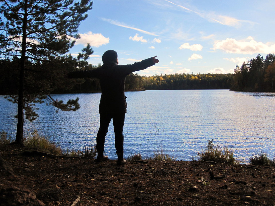
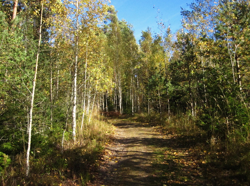
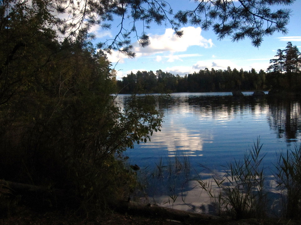
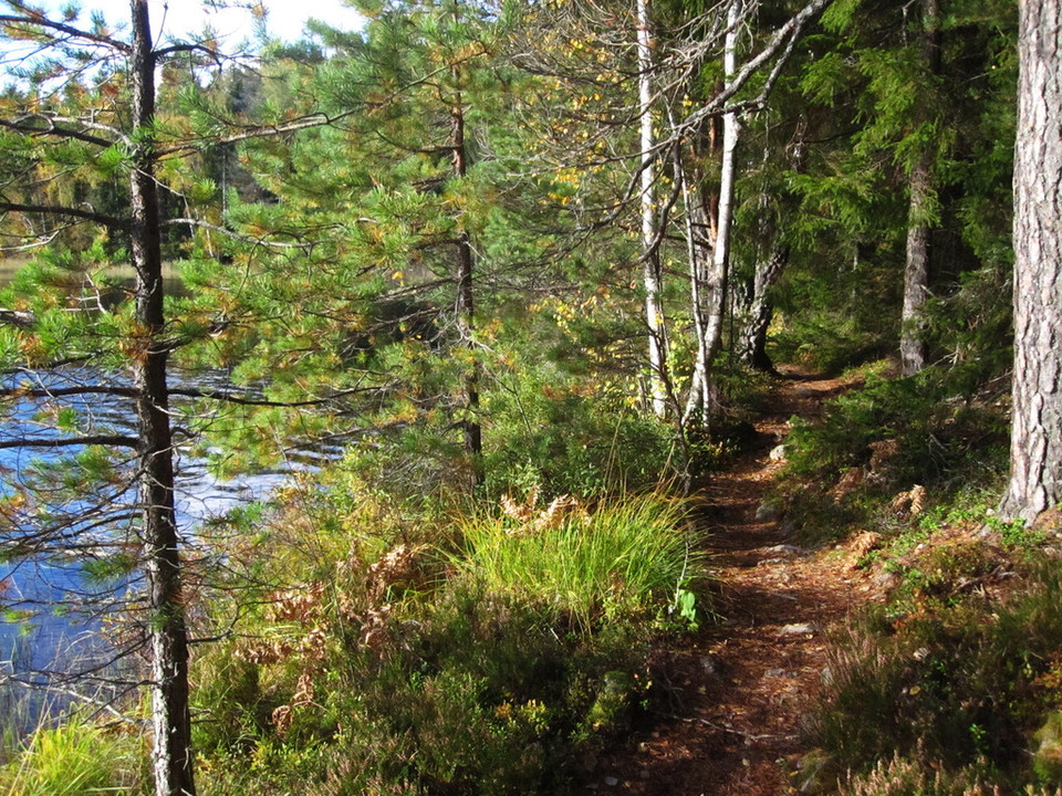
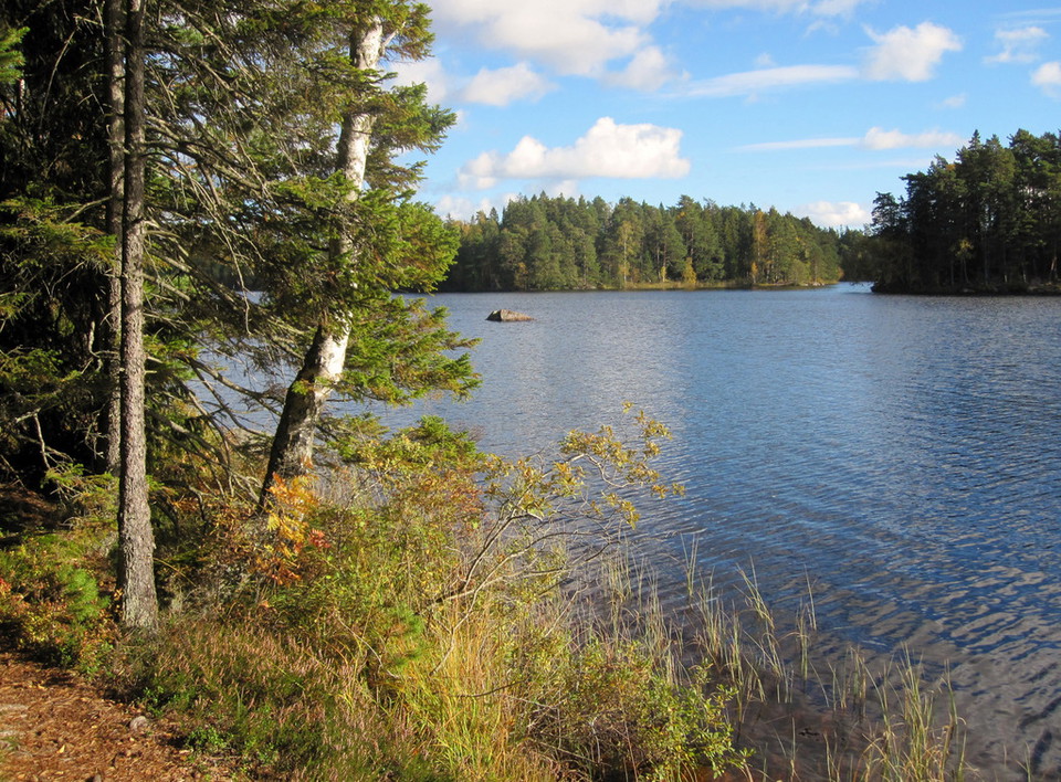
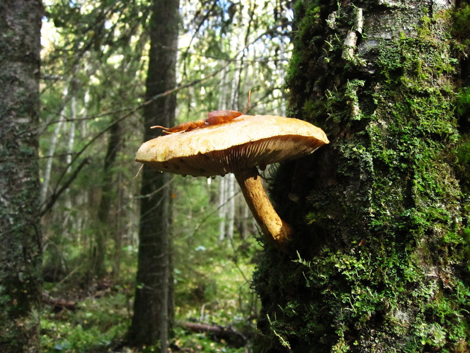
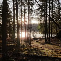
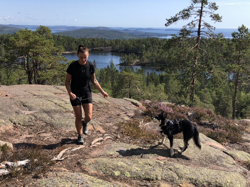
The trail is 6 km long in total but can be divided into shorter stages. It is suitable for both those who want to go on a longer hike and those who want to walk a slightly shorter distance. Whichever you choose, you will encounter an exciting and primeval forest-like nature.
Aktiviteter og faciliteter
- Vandring
Rutevejledning
Take road 55 towards Katrineholm from Norrköping. Take the road signposted Glotternskogen to the right about a mile north of Norrköping. After just over a kilometer there is a parking lot at a boom, several hiking trails start here. You can also continue to drive another two kilometers to the next reserve parking lot where both the Östgötaleden and a reserve trail start. Buses 420 and 430 stop at the Torshag stop. From here it is signposted up to Lake Glottern. From there, there is a beautiful hiking trail to the nature reserve.
Kontakt
E-mailadresse
Norrköpings Kommun
Organisationens logo

Jeg har været her 92















Jeg vil gerne derhen 132











Spørgsmål og svar
Stil et spørgsmål til andre Naturkartan-brugere.
Anmeldelser
5 anmeldelser
- 5 :
- 4 :
- 3 :
- 2 :
- 1 :
Fin vandringsled. Dock otroligt isig och många nedfallna träd på leden just nu. Emellanåt svårpromenerad.
Brugernes billeder
Der er endnu ingen brugerbilleder. Vær den første til at dele et!


Är tyvärr för tillfället ingen vandringsled utan en hinderbana. Nedfallna träd att klättra över / krypa under minst var 20:e meter. Avsaknad av Här är du-markering vid karta på parkeringen gjorde också att vi gick fel väg direkt.