
-
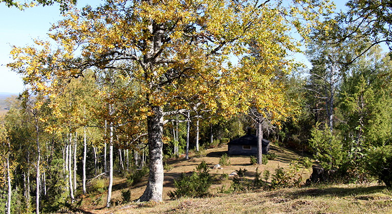
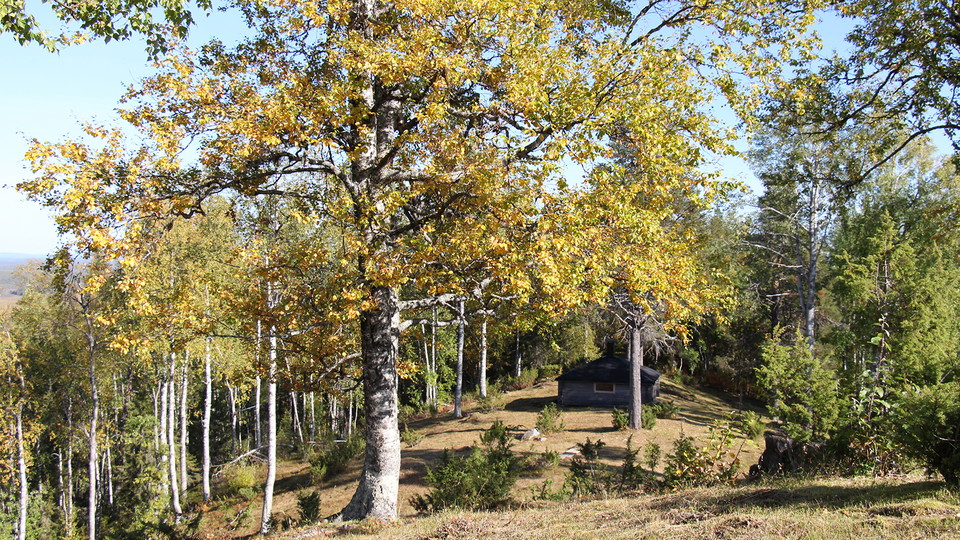
På toppen finns lövträd och Pajala kommuns raststuga.
Foto: Länsstyrelsen Norrbotten -
Jupukka
- Naturreservat
- Amt: Norrbottens län
Handlinger
Beskrivelse
On Jupukka mountain we find one of the measurement points for the Struve Geodetic Arc, a World Heritage. On a clear day, the view from the grassy summit is excellent. The nature reserve also includes the mire Poronmaanjänkkä with its rich flora. The area is 0.8 square kilometres in size. In the nature reserve it is forbidden to pitch a tent and to drive a snowmobile.
Aktiviteter og faciliteter
- Naturreservat
Fakta
Municipality: Pajala
Year of formation: 1977
Size: 0.8 square kilometers
Administrator: County Administrative Board
Form of protection: Nature reserve, Natura 2000
Parkering
There is a car park, signposted from road 99. The trail to the summit begins at the car park.
Kommunikation
Jupukka lies north of the Torne river near the village of Erkheikki, about 10 km northwest of Pajala. The reserve lies right at road 99.
Rutevejledning
Jupukka is located north of the Torne River at Erkheikki village, about 1 mile northwest of Pajala. The reserve is located just off road 99.
Regler
All regulations can be found in the reserve decision. It is allowed to:
- hike
- make a fire in the designated area
- pick berries and edible mushrooms
- fishing and hunting in accordance with the laws in force
It is not allowed to:
- camping
- drive snowmobiles
- damage plant and animal life
Remember the right of public access and protect nature!
Kontakt
E-mailadresse
Länsstyrelsen Norrbotten
Organisationens logotype

Jeg har været her 9

Jeg vil gerne derhen 3
Spørgsmål og svar
Stil et spørgsmål til andre Naturkartan-brugere.
Anmeldelser
0 anmeldelser
- 5 :
- 4 :
- 3 :
- 2 :
- 1 :
Brugernes billeder
Der er endnu ingen brugerbilleder. Vær den første til at dele et!
