
-
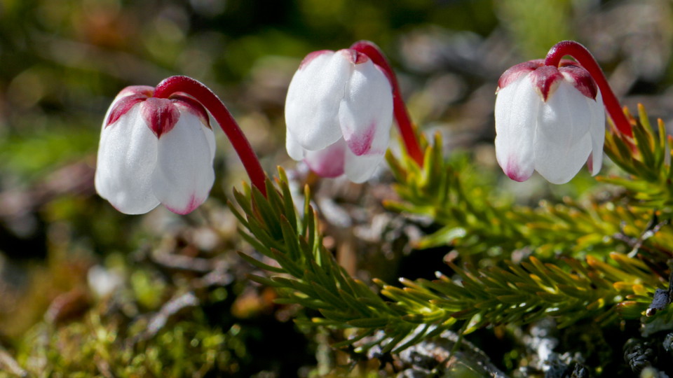
Mossljung.
Foto: Tor Tuorda
Røysvatnhytta (norska gränsen) - Paurohytta (norska gränsen), Nordkalottleden
- Vandring
- Amt: Nordland
- 6327.75 km fra dig
Ruteoplysninger
- Længde 19.0 km
Handlinger
Beskrivelse
The snow melts late here and it is often not possible to hike until the beginning of July. The entire stretch is marked in the Norwegian way with red Ts on cairns and rocks. The trail follows routes where there is vegetation.
From the national border you hike down to Lake Svártijávrre and follow its south shore. At the southeast end of the lake you cross Svártijåhkå stream via a bridge. The trail continues in easily-hiked terrain along the shore of Lake Skuogejávrre. The valley is a verdant oasis, unlike many other rocky parts in the area. At the end of the lake waits an uphill slope climbing almost 100 metres west of the height Spadentjåhkåtja. The trail rounds Lake Spadnejávrre, where you wade Márggojåhkå stream. The trail then follows the east side of Lake Gåbbdåjávri a few kilometres before the national border is reached.
Duration: 6-7 hours
Aktiviteter og faciliteter
- Vandring
Overflade
Mostly easily-hiked surface, with just a few moderate climbs.
Kontakt
E-mailadresse
Länsstyrelsen Norrbotten
Organisationens logotype

Jeg har været her 2


Jeg vil gerne derhen 1
Spørgsmål og svar
Stil et spørgsmål til andre Naturkartan-brugere.
Anmeldelser
0 anmeldelser
- 5 :
- 4 :
- 3 :
- 2 :
- 1 :
Brugernes billeder
Der er endnu ingen brugerbilleder. Vær den første til at dele et!
