
-
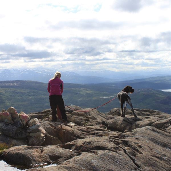
Foto: Visit Hemavan Tärnaby -

Foto: Visit Hemavan Tärnaby -
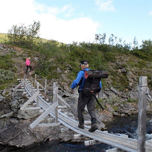
Foto: Visit Hemavan Tärnaby -
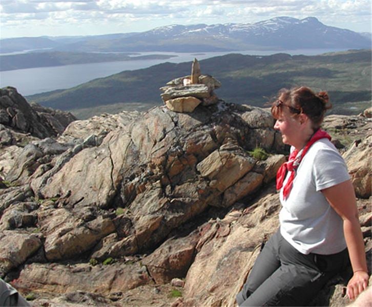
Foto: Visit Hemavan Tärnaby -
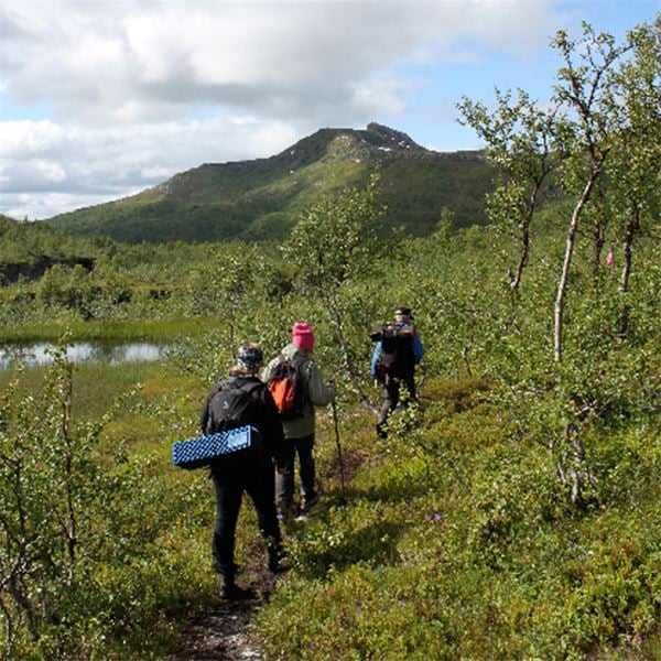
Foto: Visit Hemavan Tärnaby
Gryttind
- Vandring
- Amt: Nordland
- 6333.84 km fra dig
Ruteoplysninger
- Længde 3.0 km
Handlinger
Beskrivelse
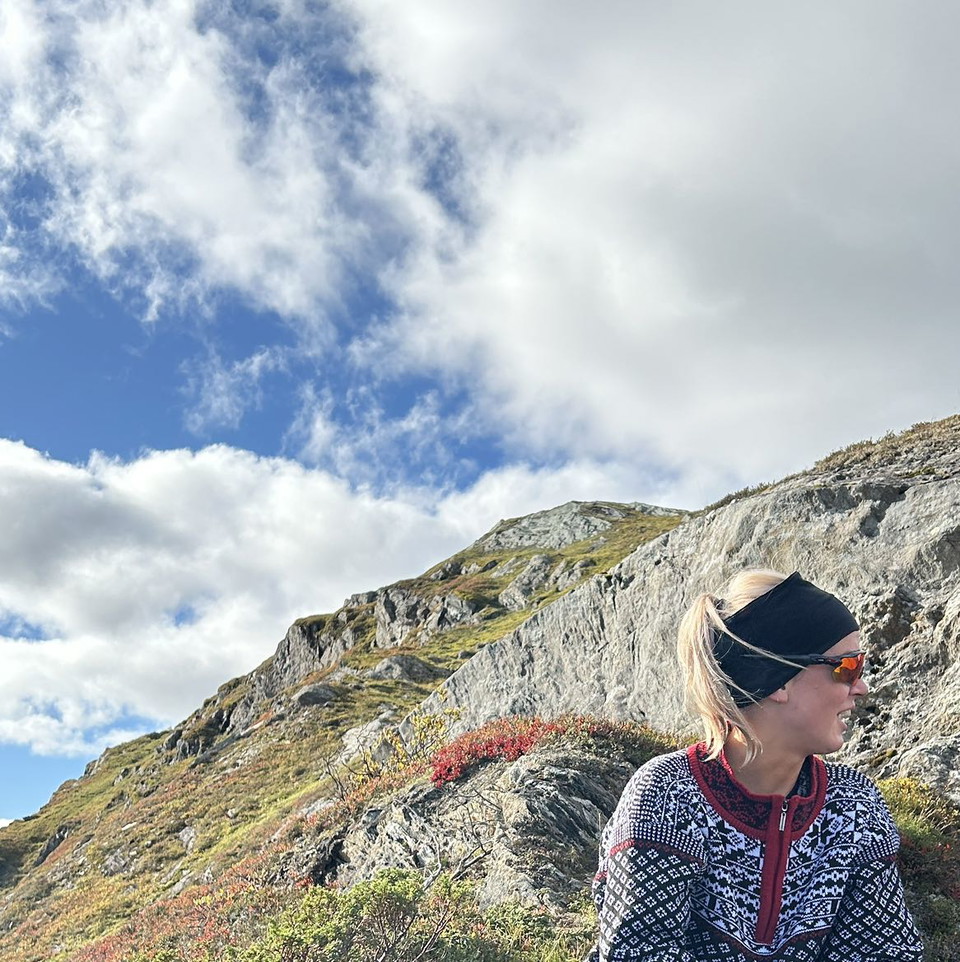
A peculiar mountain with a fantastic view in our neighboring country Norway.
Aktiviteter og faciliteter
- Vandring
Fakta
The path is marked from the parking lot at the entrance to the fish farm. Follow the path down towards Krutvasselva. There is a suspension bridge over the river in summer. Once you have crossed the bridge, there are clear signs pointing towards Hjeltfjellvatn and towards Gryttind. Gryttind to the left and Hjeltfjellvatn straight ahead.
The Gryttind trail follows the river downstream for a few kilometers before it turns uphill. Before the ascent begins, the trail passes over a large stream, Hjeltfjellbäcken, the stream must be waded across (previously there has been a footbridge). The hike then climbs upwards and becomes increasingly steep the last bit up to the top.
The actual summit of Gryttind is 892 meters above sea level with a fantastic view in all directions. The hike up to Grytindstoppen is 3 kilometers one way and 299 meters of altitude.
HJELTFJELLVATNET
For those who want a longer hike in the mountains, there is a signposted and marked trail at the foot of Gryttind, northeast towards Hjeltfjellvatnet. A nice walk of approx. 2.5 km in easy mountain terrain. Then follow the marked path that winds down the terrain in the company of the beautiful Hjeltfjell stream back to the parking lot.
Rutevejledning
Turn off the E12 in Västansjö and drive towards Hattfjelldal. Approx. 25 km after the Norwegian border up on the bare mountain there is a parking lot a little bit after the exit towards the fish farm. Here the trail starts towards Gryttind and Hjeltfjellvatnet.
Regler
The trail is located in Norway and the map in this digital display should be seen as a guide only.
Kontakt
Adresse
+46 (0)954-140 33
E-mailadresse
Turistinformation Hemavan Tärnaby
Jeg har været her 1
Jeg vil gerne derhen 6

Spørgsmål og svar
Stil et spørgsmål til andre Naturkartan-brugere.
Anmeldelser
0 anmeldelser
- 5 :
- 4 :
- 3 :
- 2 :
- 1 :
Brugernes billeder
Der er endnu ingen brugerbilleder. Vær den første til at dele et!
