Bästa vandringslederna i Växjö

Växjö

Naturkartan samlar de vandringslederna i Växjö som är populärast bland våra användare.

Billeder

Kort

80 Bästa vandringslederna i Växjö

Vandring

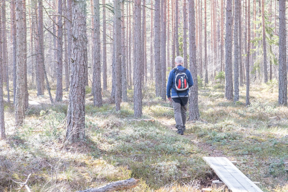
Notteryd runt

  • Kommune: Växjö
  • 6811.95 km fra dig
  • 7.5 km
  • Sværhedsgrad: Rød

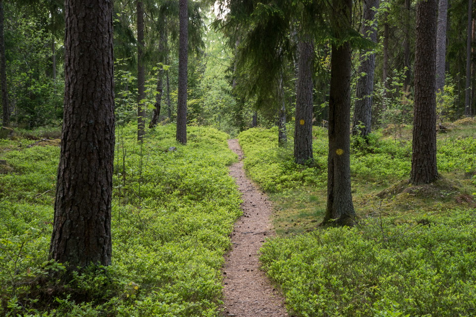
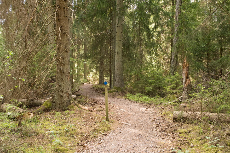
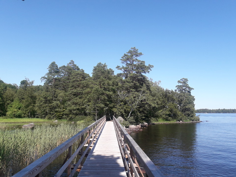
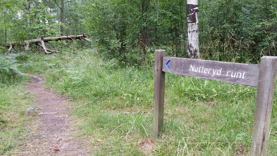
The Notteryd nature reserve seems so distant from Växjö, even though it's only a few kilometres away. Follow the blue-marked hiking trail, Notteryd Runt, and you’ll feel transported back to some ancient forest. The thick pine stands are accompanied by abund…
Vandring

Helgö runt

  • Kommune: Växjö
  • 6804.22 km fra dig
  • 7.0 km
  • Sværhedsgrad: Blå

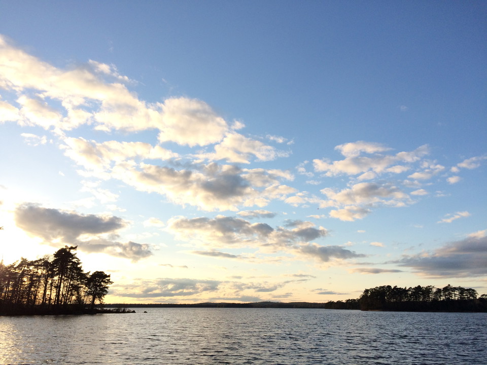
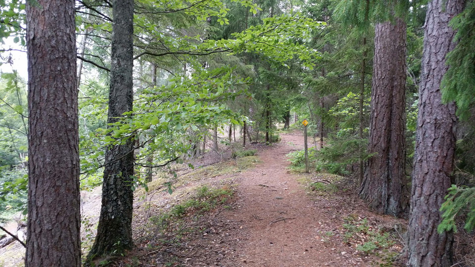
An hiking loop of 7 km that leads you around the entire nature reserve. This trail is a relatively easy one and will take you two hours at a leisurely pace, depending on how often you stop for coffee. If you are practicing trail-running, you should naturall…

Vandring

Åsslingan

  • Kommune: Växjö
  • 6806.55 km fra dig
  • 6.4 km
  • 1 t 15 min
  • Sværhedsgrad: Rød

A more than six-kilometre long hike on the boulder ridge, to the ruins of Kronoberg castle, and back again. Feel the peace and tranquillity of nature, so close to the city. During your journey, you will be experiencing nature in its diversity. The east part…

Vandring

Osabys sjöslinga

  • Kommune: Växjö
  • 6814.01 km fra dig
  • 3.6 km
  • Sværhedsgrad: Blå

The walking and jogging-friendly Sjöslingan offers several of Osaby's highlights. Gröngölingen's oak groves are followed by flower-rich Hemmaängen and Osabyviken's reeds. Soon you will also reach a dense and lush wall of deciduous jungle and undergrowth. Th…

Vandring

Kullamosseslingan

  • Kommune: Växjö
  • 6807.25 km fra dig
  • 5.0 km
  • 2 t
  • Sværhedsgrad: Blå

Fin vandringsled runt Kullamossen där besökare under våren kan belönas med både trastsång, trana och spelande orrtuppar. Myren i naturreservatet Lunden är vidsträckt och bjuder på vildmarkskänsla. Denna spännande vandringsled gör ett komplett varv runt moss…

Vandring

Stig Hultaklint och Singoallas grotta

  • Kommune: Växjö
  • 6791.36 km fra dig
  • 0.8 km
  • Sværhedsgrad: Rød

This trail starts at the parking area and takes you up to Hultaklint (500 metres) and Singoalla’s cave (800 metres). Energetic legs and a good sense of balance are needed, as the trail, in part, can be steep and stony. A bit longer hike will take you to the…

Vandring

Bokslingan

  • Kommune: Växjö
  • 6815.75 km fra dig
  • 1.5 km
  • Sværhedsgrad: Grøn

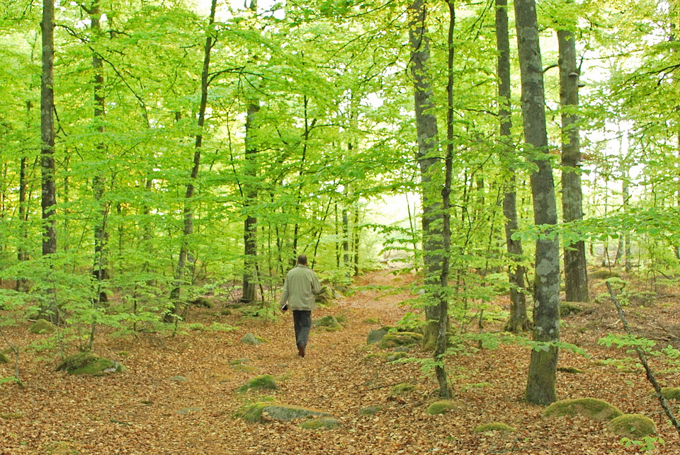
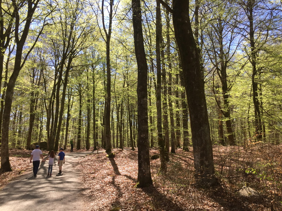
You'll be walking on the 1.5-kilometre loop through the beautiful and silent beech forest of the Gårdsby and Hemmesjö Bökeskog nature reserve. This loop connects in its north-west part to the Sjöslingan Loop. Take a long break and enjoy the diversity!

Vandring

Högstorpslingan

  • Kommune: Växjö
  • 6812.40 km fra dig
  • 4.0 km
  • Sværhedsgrad: Rød

Ekeberg forest is connected to the southern part of the neighbourhood of Högstorp, and there is plenty to experience there, such as the yellow-marked jogging trail that’s called “Högstorpsslingan.” Here you can run, jog or walk. Whatever suits you. The loop…

Vandring

Sigfridsleden

  • Kommune: Växjö
  • 6793.47 km fra dig
  • 102.0 km
  • Sværhedsgrad: Blå

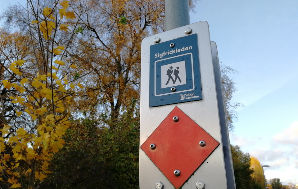
The Sigfridsleden Trail is primarily a hiking trail, but works fine for mountain bikes, as well, provided you remember to show consideration to hikers, and to the natural beauty you pass. The length of the trail is about 88 kilometres, with a 14 kilometre c…

Vandring

Reservatsstigen Teleborg

  • Kommune: Växjö
  • 6813.31 km fra dig
  • 4.5 km
  • Sværhedsgrad: Blå

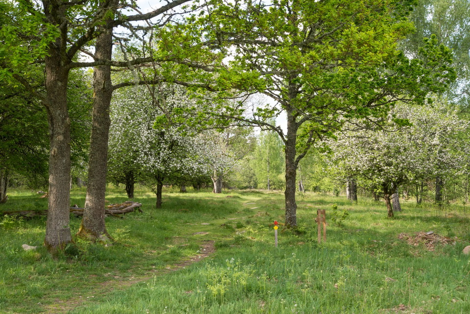
In the Teleborg nature reserve, you’ll walk at a relaxed countryside pace, accompanied by the trill of the Eurasia skylark as you pass grazing horses against a background of the skyline of Växjö and the spires of its cathedral. In meadows and pastures, you…

Vandring

Sjöslingan

  • Kommune: Växjö
  • 6815.39 km fra dig
  • 1.5 km
  • Sværhedsgrad: Grøn

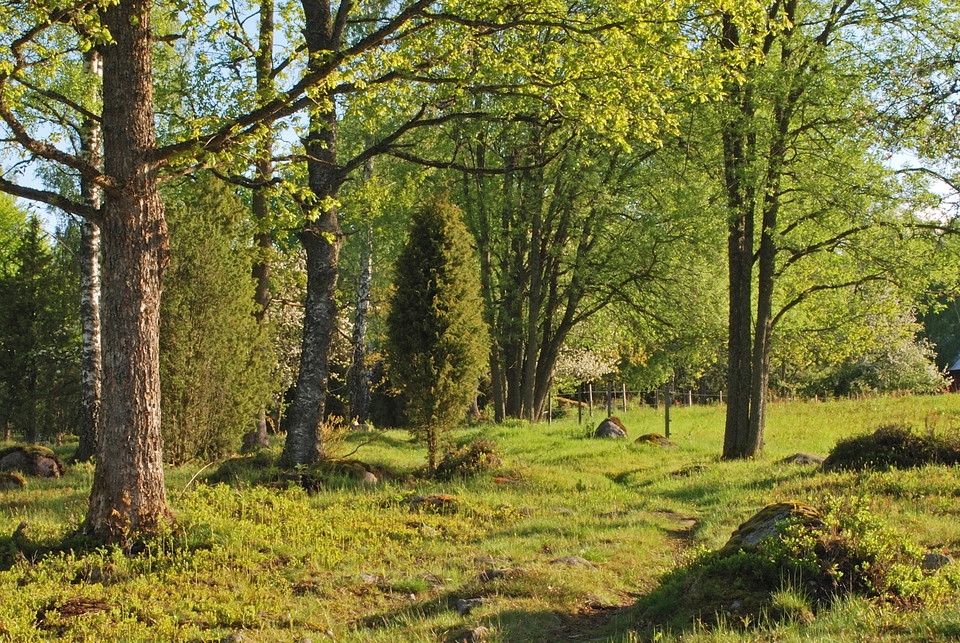
The Gårdsby and Hemmesjö Bökeskog (beech forest) is a 65-hectare area that consists largely of beech woods, grazing pastures and what remains of meadows. Bökeskogen is known for its beautiful beech wood scenery with ancient trees. The reserve borders on two…

Vandring

Skirviksstigen Teleborg

  • Kommune: Växjö
  • 6813.31 km fra dig
  • 2.1 km
  • Sværhedsgrad: Grøn

In the Teleborg nature reserve, you’ll walk at a relaxed countryside pace, accompanied by the trill of the Eurasia skylark as you pass grazing horses against a background of the skyline of Växjö and the spires of its cathedral. In meadows and pastures, you…

Vandring

Bokhultets gula slinga

  • Kommune: Växjö
  • 6809.82 km fra dig
  • 4.6 km
  • 1 t
  • Sværhedsgrad: Blå

Run or hike in this beautiful leafy forest. There are many trails and roads in the Bokhultet nature reserve that make for great recreation. The yellow blue route takes you on a 4.6-kilometre long route in northern Bokhultet.

Vandring

Braås parks naturstig

  • Kommune: Växjö
  • 6811.42 km fra dig
  • 1.8 km
  • Sværhedsgrad: Blå

Walk the nature reserve trail, which is just over two kilometres long, and you will experience storybook scenery, loud birdsong, and blue anemones that bloom in April. Continue, following the sharply delineated Braåsen Ridge, which was created thousands of…

Vandring

Skårtaryds vandringsled

  • Kommune: Växjö
  • 6817.24 km fra dig
  • 1.4 km
  • Sværhedsgrad: Blå

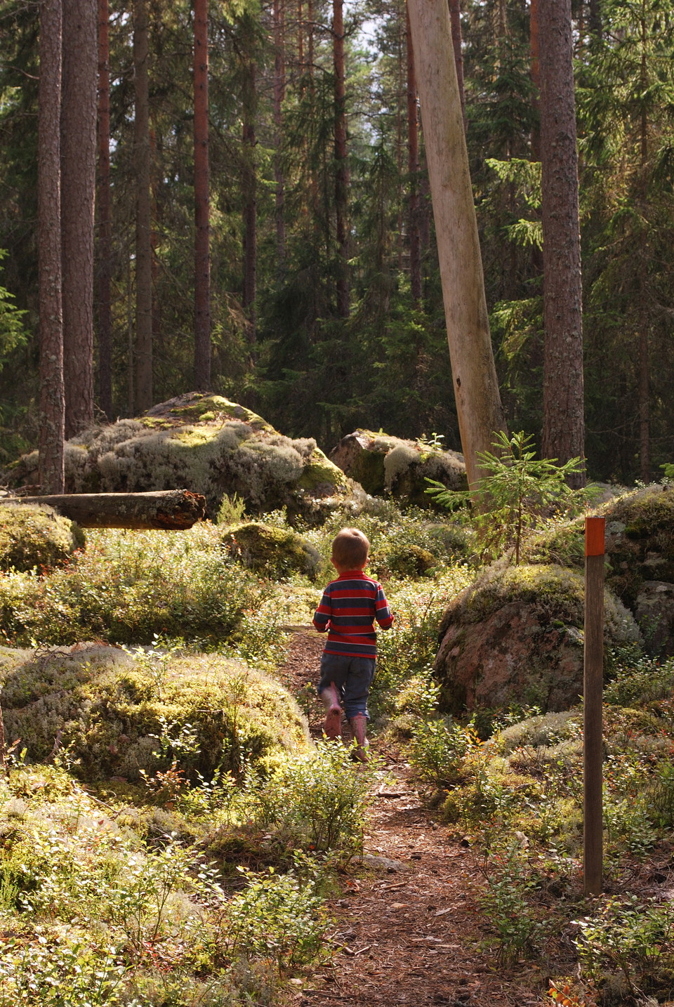
This orange-marked loop will take you through the Skårtaryd naturre reserve and give you wonderful experiencs of a tranquil and lovely old-growth forest. Be careful to preserve this sensitive biotope by staying to the trail.

Bästa vandringslederna i Växjö

Naturkartan samlar de vandringslederna i Växjö som är populärast bland våra användare.

Naturkartan

Åbn dette i appen