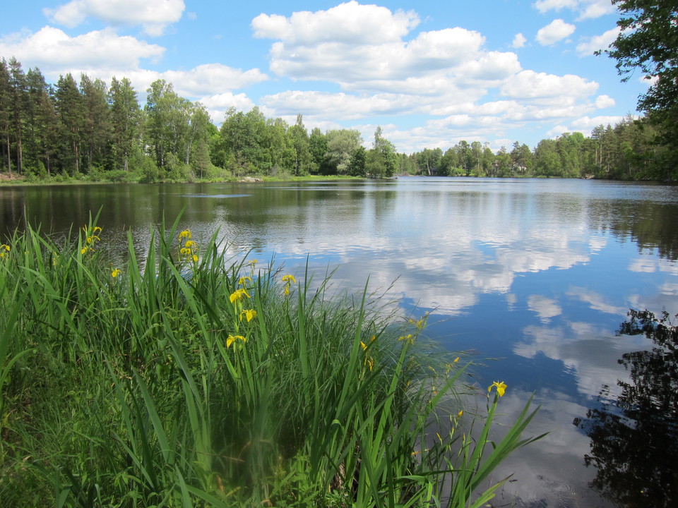
Bästa vandringslederna i Uppvidinge

Uppvidinge

Naturkartan samlar de vandringslederna i Uppvidinge som är populärast bland våra användare.

Billeder

Kort

36 Bästa vandringslederna i Uppvidinge

Vandring

Höneströmsleden

  • Kommune: Uppvidinge
  • 6837.17 km fra dig
  • 15.0 km
  • Sværhedsgrad: Blå

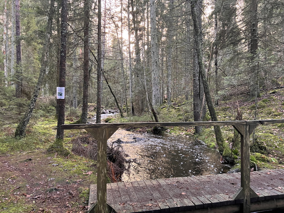
Welcome to Uppvidinge’s brand new hike trail! It starts in Höneström, which used to play a big part in the old Glass kingdom of Småland. This trail is a wonderful nature experience and will take you through landscapes with forests, streams, meadows and ravi…
Vandring

Libbhults ängsstig

  • Kommune: Uppvidinge
  • 6810.94 km fra dig
  • 2.5 km

A few kilometers west of Klavreström awaits the high-lying Libbhults meadows. The nature reserve is dominated by flower-rich meadows and pastures, but also contains grove-like forest areas and a lush stream ravine. Much of the land has a past as hay meadows…

Vandring

Libbhults skogsstig

  • Kommune: Uppvidinge
  • 6811.25 km fra dig
  • 1.3 km
  • Sværhedsgrad: Blå

On an elevated area with a wide view a few kilometers west of Klavreström we find the very beautiful nature reserve Libbhults ängar. The reserve is characterized by large contiguous areas of meadows and pastures. There are also grove-like forest areas and a…

Vandring

Lindshammarleden

  • Kommune: Uppvidinge
  • 6808.67 km fra dig
  • 10.0 km
  • Sværhedsgrad: Blå

Upptäck det småländska höglandet på denna härliga runda. Slingan passerar bymiljö, skogsmark, bruksmiljö och två sjöar, Hedasjön och Boskvarnasjön. Slingan går genom en varierad terräng och vackra kulturlandskap med öppna ängar och röda hus, men även djup s…

Vandring

Hinkaryds Vandringsled

  • Kommune: Uppvidinge
  • 6859.24 km fra dig
  • 1.8 km

Here you will find a relatively short but very scenic hike. The forest already resembles a primeval forest and there are very tall and coarse trees that are up to 250 years old.The trail runs largely in a valley with proximity to Björkekärrsbäcken. There ar…

Vandring

Framtidsleden

  • Kommune: Uppvidinge
  • 6841.81 km fra dig
  • 47.0 km
  • Sværhedsgrad: Grøn

Framtidsleden (which means The Future hike) is a hike that guides you through three communities: Älghult, Alstermo and Målerås. The path is 38 km and you can choose to walk or take your bike. Framtidsleden shows you the beautiful everchanging landscapes of…

Bästa vandringslederna i Uppvidinge

Naturkartan samlar de vandringslederna i Uppvidinge som är populärast bland våra användare.

Naturkartan

Åbn dette i appen