Bästa vandringslederna i Tingsryd

Tingsryd

Naturkartan samlar de vandringslederna i Tingsryd som är populärast bland våra användare.

Billeder

Kort

26 Bästa vandringslederna i Tingsryd

Vandring

Jäts byalags vandringsled

  • Kommune: Tingsryd
  • 6823.30 km fra dig
  • 10 km
  • 2 t
  • Sværhedsgrad: Blå

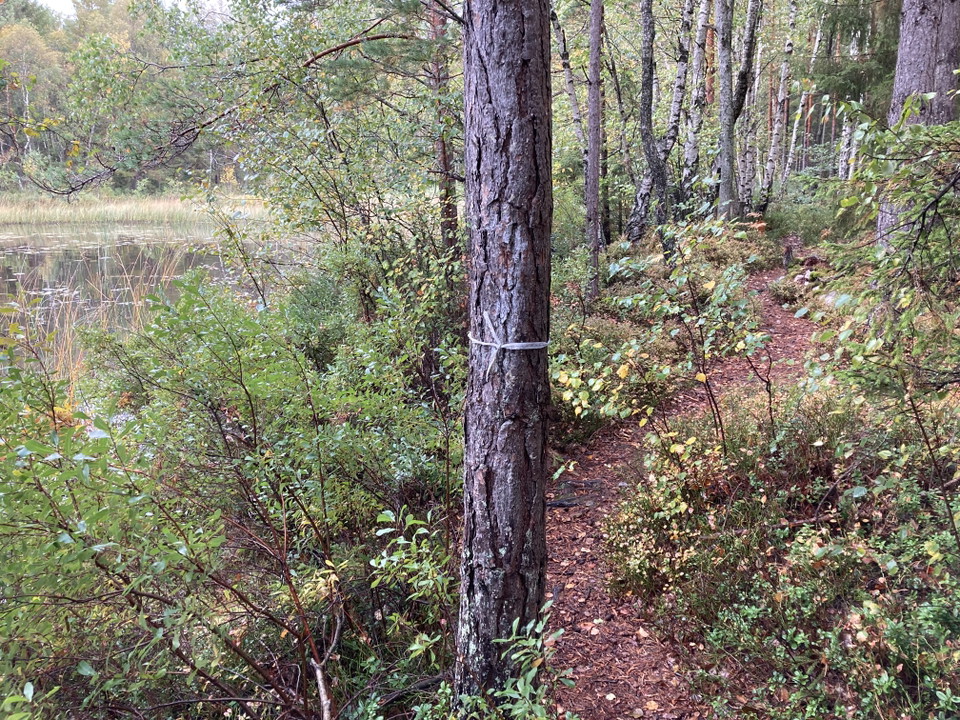
The Jät village association’s hiking trail offers you a number of exciting environments around Lake Åsnen. The trail has three different routes, varying between eight and twelve kilometres in length. The beach in Jät is the starting the finishing line for t…
Vandring

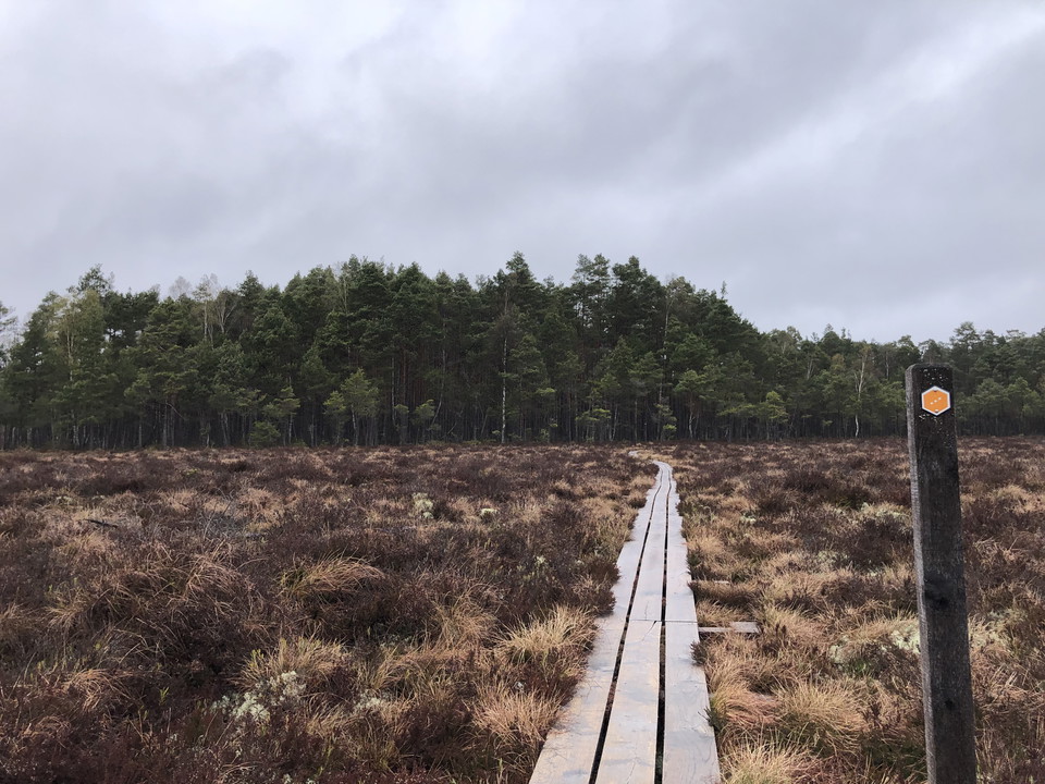
Toftåsa myr vandringsled, Åsnens nationalpark

  • Kommune: Tingsryd
  • 6819.26 km fra dig
  • 6.3 km
  • Sværhedsgrad: Blå

Along this loop you can experience marshland with surrounding pine forests in blueberry rice. Typical plants are crowberry, roselle and water primrose. In spring, cranes and black grouse can be heard. The paths are narrow and partly on peatland that is wet…

Vandring

Vandringsled - Arasjöarna runt

  • Kommune: Tingsryd
  • 6833.98 km fra dig
  • 11.4 km
  • Sværhedsgrad: Blå

Hike around Arasjöarna with a suggested start and finish at Hätteboda wilderness camping. The trail goes around the lakes so you never have far to a log or rock down by the water when you want to take a break. The trail is not marked in the terrain except o…

Vandring

Vandringsled - Lunnabackens naturreservat (orange)

  • Kommune: Tingsryd
  • 6825.89 km fra dig
  • 3.0 km
  • Sværhedsgrad: Grøn

A beautiful hiking trail in the Lunnabacken nature reserve. Enjoy Lunnabacken's meadows, thick trees, grove-like forest and the fantastic view over lake Åsnen. A walking path connects Lunnabacken with the Kärrasand bathing area. Along the path you can exper…

Vandring

Vandringsled "Korröstigen" - Korrö naturreservat (gul)

  • Kommune: Tingsryd
  • 6845.35 km fra dig
  • 3.1 km
  • Sværhedsgrad: Grøn

A loop that goes through the beautiful Korrö nature reserve. Feel free to combine with a visit to the craft village where there is a restaurant and more.

Vandring

Vandringsled - Älganäs naturreservat (orange)

  • Kommune: Tingsryd
  • 6840.31 km fra dig
  • 1.3 km
  • Sværhedsgrad: Grøn

A beautiful hiking trail in the Älganäs nature reserve. The nature reserve Älganäs is located on a peninsula in the eastern part of Lake Tiken, a few kilometers south of the community of Tingsryd. In the nature reserve, you can experience forests with old d…

Vandring

Vandringsled - Hensjönäsets naturreservat (blå)

  • Kommune: Tingsryd
  • 6846.72 km fra dig
  • 1.4 km
  • Sværhedsgrad: Grøn

A hiking trail in the Hensjönäset nature reserve. Southeast of Tingsryd, between the clear-water lake Stora Hensjön and the re-growing reed lake Lilla Hensjön runs a low isthmus. The reserve has been protected since 1970 and most of the 32 hectare land area…

Vandring

Vandringsled - Hensjönäsets naturreservat (orange)

  • Kommune: Tingsryd
  • 6847.08 km fra dig
  • 2.0 km
  • Sværhedsgrad: Grøn

A hiking trail in the Hensjönäset nature reserve. Southeast of Tingsryd, between the clear-water lake Stora Hensjön and the re-growing reed lake Lilla Hensjön runs a low isthmus. The reserve has been protected since 1970 and most of the 32 hectare land area…

Vandring

Ryds strandpromenad

  • Kommune: Tingsryd
  • 6827.56 km fra dig
  • 6.5 km
  • Sværhedsgrad: Grøn

Along the river Mörrumsån, on the west side, there is a nice beach promenade for walking, running or cycling. Between Ryd's old bathing well at the northern end, and Solängen in the southern part of Ryd, there is lights along the path. Along the promenade t…

Vandring

Vandringsled "Hackekvarnsnäs" - Hackekvarns naturreservat (orange)

  • Kommune: Tingsryd
  • 6826.84 km fra dig
  • 1.7 km
  • Sværhedsgrad: Grøn

A beautiful hiking trail in the Hackekvarn nature reserve. Hackekvarn is located northwest of Urshult at Lake Åsnen's outlet in Havbältesfjorden. The reserve is 203 hectares in size and has been protected since 2012. The reserve contains several red-listed…

Vandring

Utmaningen Korrö - Långasjö

  • Kommune: Tingsryd
  • 6845.34 km fra dig
  • 29.0 km
  • Sværhedsgrad: Rød

A slightly longer trail stretching between Korrö and Långasjö. It can be used as an alternative route for those hiking the Utvandrarleden or as an entirely independent trail between these two locations. The trail is varied, taking you along paths, forest ro…

Vandring

Vandringsled - Hackekvarns naturreservat (blå)

  • Kommune: Tingsryd
  • 6826.33 km fra dig
  • 0.3 km
  • Sværhedsgrad: Grøn

A small hiking trail down to the water. You get here by parking the car at "P" on the map or if you walk all the way up from Hackekvarn, at the passage over Mörrumsån. (Length: 300 meters for the path in the map, from the croft down to the lake). The path i…

Vandring

Farabols vandringsleder - Vita sten

  • Kommune: Tingsryd
  • 6822.91 km fra dig
  • 9.3 km

The “White Stone” trail starts at Farabol school. Follow the white marker posts. First walk north on the road Farabolsvägen until where the last shop in the village was located. Turn right onto a gravel road, you will pass long wooden buildings (former mil…

Vandring

Vandringsled "Bokskogsrundan" - Hackekvarns naturreservat (gul)

  • Kommune: Tingsryd
  • 6826.47 km fra dig
  • 1.4 km
  • Sværhedsgrad: Grøn

A nice walking path that goes through a beautiful beech forest in the Hackekvarn nature reserve, marked with yellow posts in the terrain. Here you pass many stone cairns that bear witness to the fact that this was active farmland a long time ago. Read more…

Bästa vandringslederna i Tingsryd

Naturkartan samlar de vandringslederna i Tingsryd som är populärast bland våra användare.

Naturkartan

Åbn dette i appen