Tierp

Bästa vandringslederna i Tierp

Naturkartan samlar de vandringslederna i Tierp som är populärast bland våra användare.

Kort

26 Bästa vandringslederna i Tierp

Vandring

Vikingastigen

  • Kommune: Tierp
  • 6757.20 km fra dig
  • -0.8 km

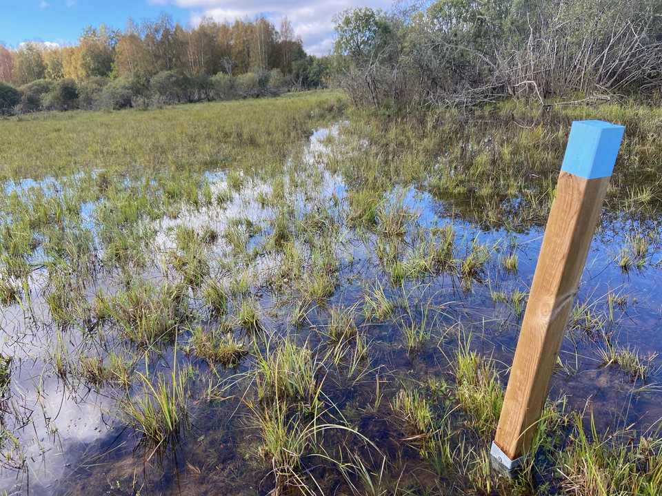
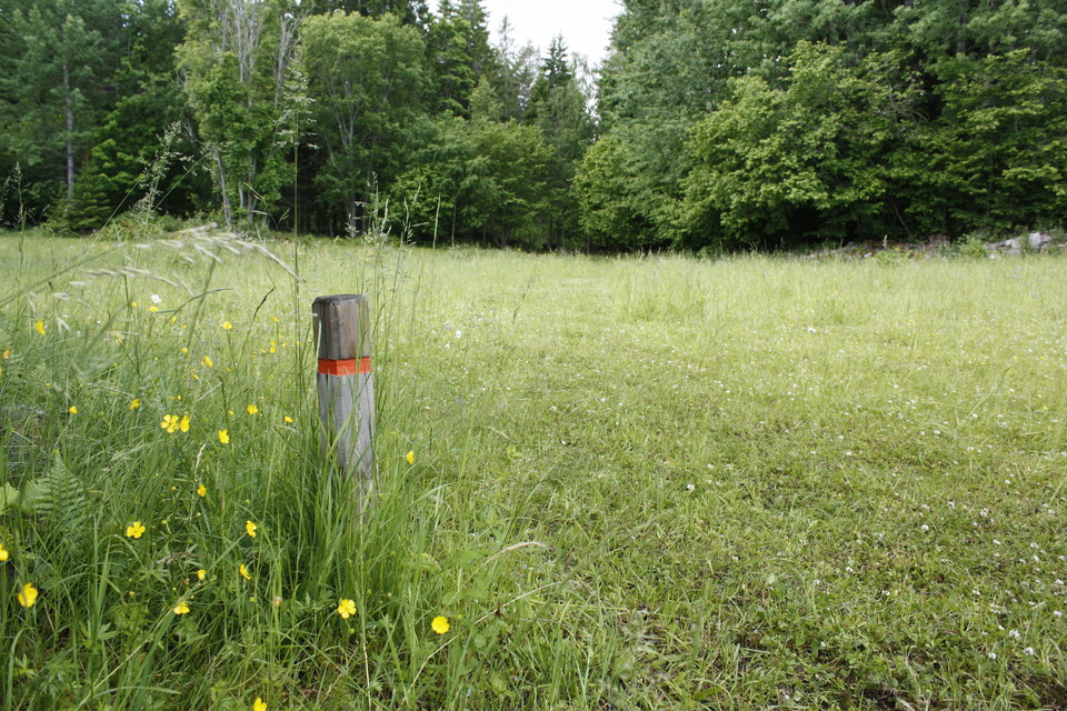
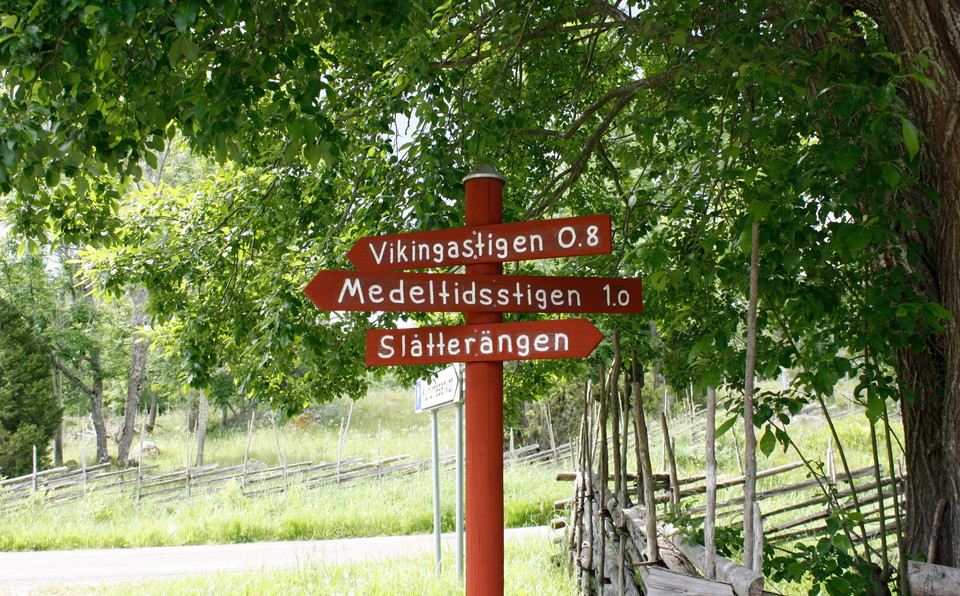
Take an information leaflet and follow the marked Viking trail into the pasture on the west side of the road. The red posts lead you on a journey through time of over a thousand years with several interesting stops. Here you pass, among other things, a buri…
Vandring

Medeltidsstigen

  • Kommune: Tierp
  • 6757.40 km fra dig
  • 1.0 km

Follow the Medieval Trail east from Lingnåreladan to the medieval village.

Vandring

Stig, Källarberget

  • Kommune: Tierp
  • 6752.66 km fra dig
  • 1.4 km

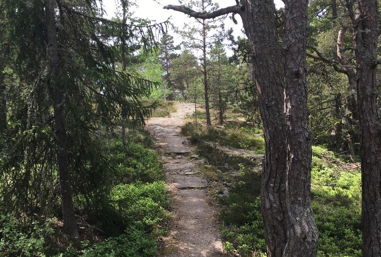
A 1.4 kilometer long trail through the Källarberget nature reserve. The path passes the pilot house and the view at the top of Källarberget, the fireplace, nice bathing and coffee rocks and several stone squares. The path is bumpy and hilly in places.

Vandring

Stig till Fiskvandringsvägen i Karlholm

  • Kommune: Tierp
  • 6748.53 km fra dig
  • 0.5 km

From the apartment buildings by the pizzeria in Karlholm, there is a path leading to the delightful Fiskvandringsvägen. The path is about 500 m long, easy to walk, and goes over bridges and past water. The path is easy to walk and can be walked with a strol…

Vandring

Naturstig, Iggelbo, 1 km

  • Kommune: Tierp
  • 6754.82 km fra dig
  • 1.3 km

The nature trail in Iggelbo nature reserve is just over 1 km long. It goes through varied forest, in a loop from the parking lot, past the barbecue area and the viewpoint at Hällhomen and back. There is a leaflet at the parking lot that you can take with yo…

Vandring

Stigar, Iggelbo

  • Kommune: Tierp
  • 6754.90 km fra dig
  • 1.8 km

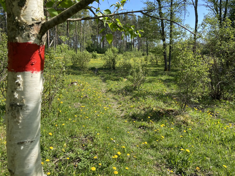
From the parking lot you can follow a nature trail, 0.5 km to the viewpoint and barbecue area at Hällholmen. You can also walk along paths through birch forest to the windbreak and fireplace at Förnäset.

Vandring

Stig, Björn

  • Kommune: Tierp
  • 6758.14 km fra dig
  • 0.7 km

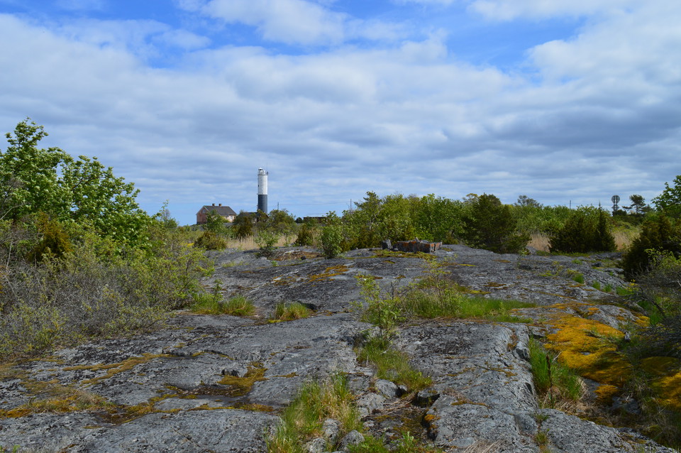
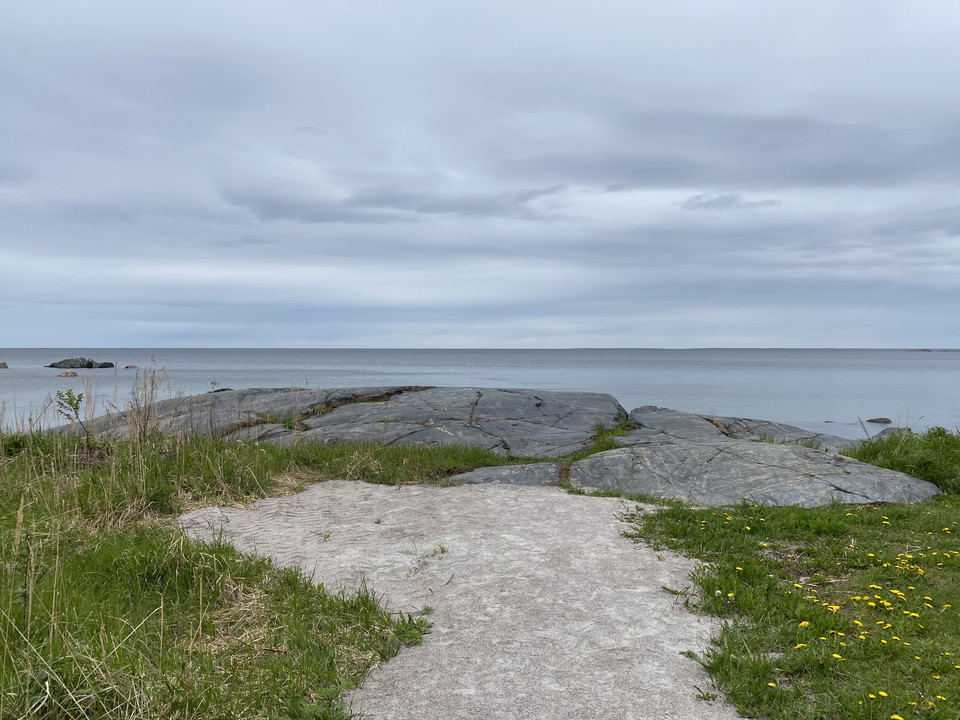
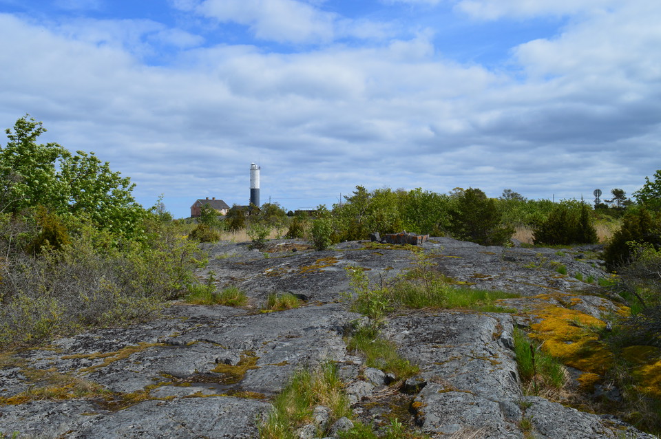
You can follow a path across the island of Björn, from the lighthouse area to the western headland. The path goes over rocks, past sea buckthorn thickets and small pools of water where, in late May and June, you may hear the sound of frogs. If you are on Bj…

Vandring

Stig mellan campingen och djuphamnen, Ängskär

  • Kommune: Tierp
  • 6770.57 km fra dig
  • 1.5 km

Between the parking lot at Ängskärs bad and camping, there is a 1.5 km long path through the forest out to Djuphamnen. The path goes over rocks, past small wetlands and along the first half you pass several cliffs from where you get a nice view of the sea.…

Vandring

Stig till Varggropens fågeltorn

  • Kommune: Tierp
  • 6769.18 km fra dig
  • 0.4 km

From the parking lot at Ål it is 400 m to the Varggropen bird tower. You first follow a gravel road past a croft. Then you enter through a gate and follow a path that goes partly in and partly outside a pasture. In spring, summer and fall there are cows in…

Vandring

Tegelsmoraleden

  • Kommune: Tierp
  • 1.5 km
  • Sværhedsgrad: Grøn

Accessible loop along Tegelsmoraån. The trail starts from the north side of Örbyhus railway station. After 200 meters on the footpath towards Tobo, it turns off and follows the western side of the river. At a scenic bend in the river called "Gölen" there is…

Vandring

Stig, Ängskär

  • Kommune: Tierp
  • 6770.90 km fra dig
  • 0.4 km

Path between Ängskärs havscaping and Magasinet, out on Bondskäret.

Vandring

Blå stigen, Bredforsen

  • Kommune: Tierp
  • 6734.03 km fra dig
  • 5.5 km

The blue trail in Bredforsen is 5.5 km long. It starts at Knutsvall in the eastern part of the reserve and goes out to Fäbodstugan on the southern part of Gässön. The experience of hiking this trail is different depending on what time of year you are here.…

Vandring

Hållnäsleden

  • Kommune: Tierp
  • 6752.66 km fra dig
  • 13.8 km

At the far end of the Hållnäs peninsula, the Hållnäs Trail winds its way along the sea. The hiking trail connects nature reserves and beautiful spots, and offers unique and varied nature. The trail runs just inside the coast but with the sea ever present. I…

Vandring

Stigar, Ledskär

  • Kommune: Tierp
  • 6752.58 km fra dig
  • 2.1 km

At Ledskär there are marked paths that lead out to Ledskärstornet on the beach meadow, Fladentornet, the platform at Kilholmarna and on to the harbor. The paths go through pastures. The path out to Ledskärstornet on the beach meadow can sometimes be very wet.

Bästa vandringslederna i Tierp

Naturkartan samlar de vandringslederna i Tierp som är populärast bland våra användare.

Naturkartan

Åbn dette i appen