
Bästa vandringslederna i Skellefteå
Skellefteå
Naturkartan samlar de vandringslederna i Skellefteå som är populärast bland våra användare.
Billeder

Kort
60 Bästa vandringslederna i Skellefteå

Grytsundsleden
- Kommune: Skellefteå
- 6657.19 km fra dig
- 9.0 km
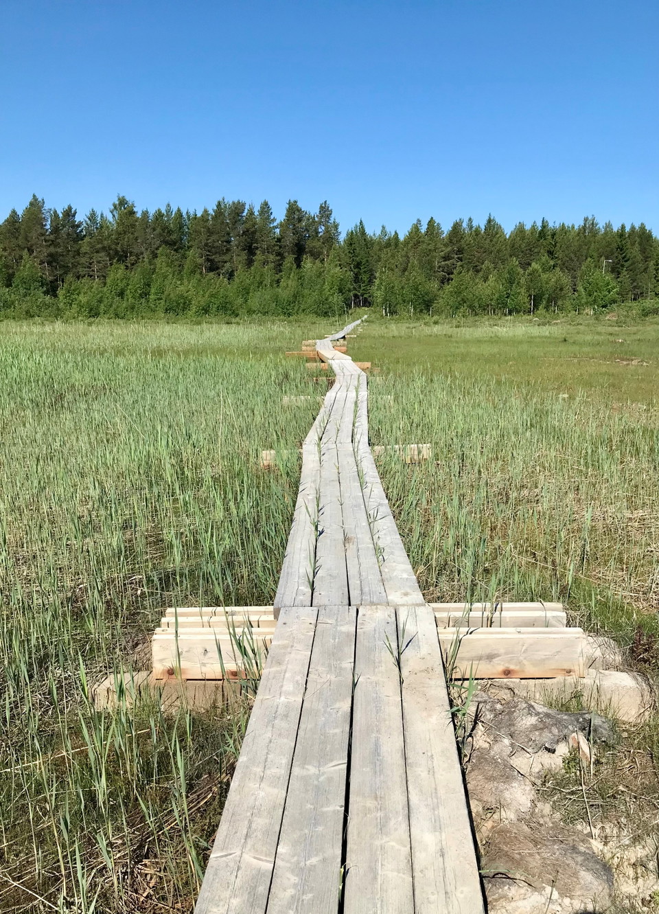
A scenic hiking trail that runs in varied forest terrain, on a road, over a 230-metre footbridge over Grytsundet and in some parts close to the sea. Guided tours along the Grytsund Trail for private individuals and organizations. Yvonne Frank guides in Swed…

Hälsans stig - Skellefteå
- Kommune: Skellefteå
- 6655.06 km fra dig
- 7.0 km
Några sevärdheter längs promenaden: Nordanå kulturcentrum, Bonnstan och Lejonströmsbron som är landets äldsta och längsta träbro som togs i bruk 1737.

Furuögrundsleden
- Kommune: Skellefteå
- 10.0 km
- Sværhedsgrad: Blå
The Furuögrundsleden trail runs in a scenic environment along the coast. It stretches over hilly terrain with a few short steeper sections. There are a number of rest areas and shelters along the trail and it is partly fenced. During the summer there is a c…

Kyrkstigen
- Kommune: Skellefteå
- 6655.06 km fra dig
- 40.0 km
The trail is well marked and offers varied environments and varied landscapes. The trail goes through mixed forest, past marshes and stone slabs. There are also a number of rest areas with wind shelters along the trail.

Öbergsleden
- Kommune: Skellefteå
- 6665.77 km fra dig
- 6.0 km
About a mile east of central Skellefteå is Öbergsleden, which runs in varied terrain around the villages of Stackgrönnan and Nyhamn. The trail is a circular hike and you can start from several places along the way.

Risböle fäbodstig
- Kommune: Skellefteå
- 6687.14 km fra dig
- 9.0 km
Between Uttersjöbäcken and Nedre Bäck we find the villages of Risböle and Bäckån. In the latter, Fäbodstigen begins, which takes us through the forest to the sea and finally to the Risböle summer cottage.

Flottarstigen Sikån
- Kommune: Skellefteå
- 6636.82 km fra dig
- 22.0 km
Flottarstigen passes by varied nature such as old hay meadows and several fine rapids. It provides good opportunities for many nice nature experiences.

Risåleden
- Kommune: Skellefteå
- 6651.84 km fra dig
- 5.0 km
Starting in Innansjön, west of Burträsk, Risåleden follows the beautiful Risån river that flows into Göksjön. Along the trail there are huts with barbecue facilities and toilets. The trail is partially accessible for wheelchair users.
Gärdviken Bjuröklubb, vandringsled
- Kommune: Skellefteå
- 6698.32 km fra dig
- 2.4 km
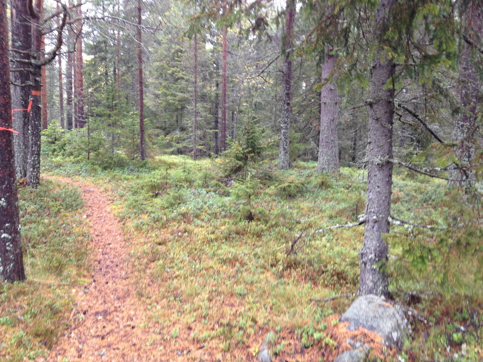
Discover Bjuröklubb. Several marked trails in the area take you on historical walks.

Fällforsleden
- Kommune: Skellefteå
- 6628.57 km fra dig
- 4.0 km
The trail is 4 kilometers. The trail starts from Laxcenter past Marranäsvältan and back to Laxcenter. Here you can hike near the Byske River, an undeveloped forest river with migrating salmon. The trail is located in an area with a lot of forest birds and w…
Naturstigen
- Kommune: Skellefteå
- 5.0 km
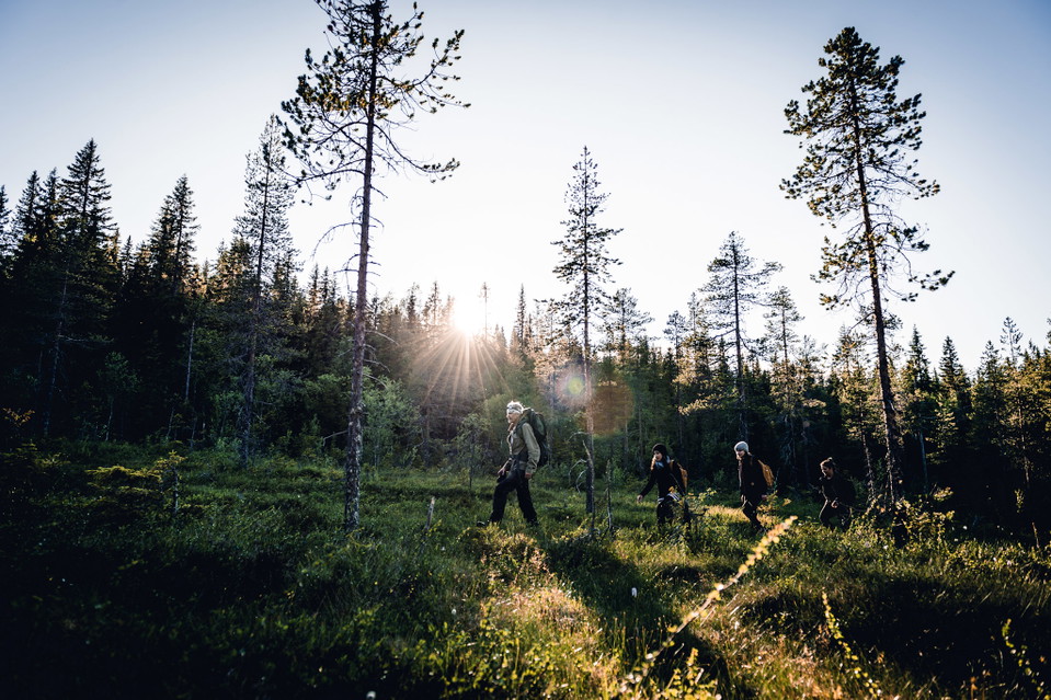
The path goes in hilly terrain with a few short, steeper sections. The path is well marked with blue/white hiking trail signs. Along the path there are signs with information about the landscape, culture, geology and more.


Svarttjärns vandringsstig
- Kommune: Skellefteå
- 6672.71 km fra dig
- 7.0 km
Welcome to Svarttjärn's hiking trail. Here you can hike through beautiful nature to Havsvågen and up on Lidberget, the highest mountain in the Lövånger area. Here is a large pebble field with stones lying in "waves". There is also a high lookout tower.

Klintstigen
- Kommune: Skellefteå
- 1.0 km
A short hike of one kilometer takes you to the top of Klintenberget with a fantastic view of Kågefjärden and the Gulf of Bothnia.
Bästa vandringslederna i Skellefteå
Naturkartan samlar de vandringslederna i Skellefteå som är populärast bland våra användare.
