Bästa vandringslederna i Ronneby

Ronneby

Naturkartan samlar de vandringslederna i Ronneby som är populärast bland våra användare.

Billeder

Kort

55 Bästa vandringslederna i Ronneby

Vandring

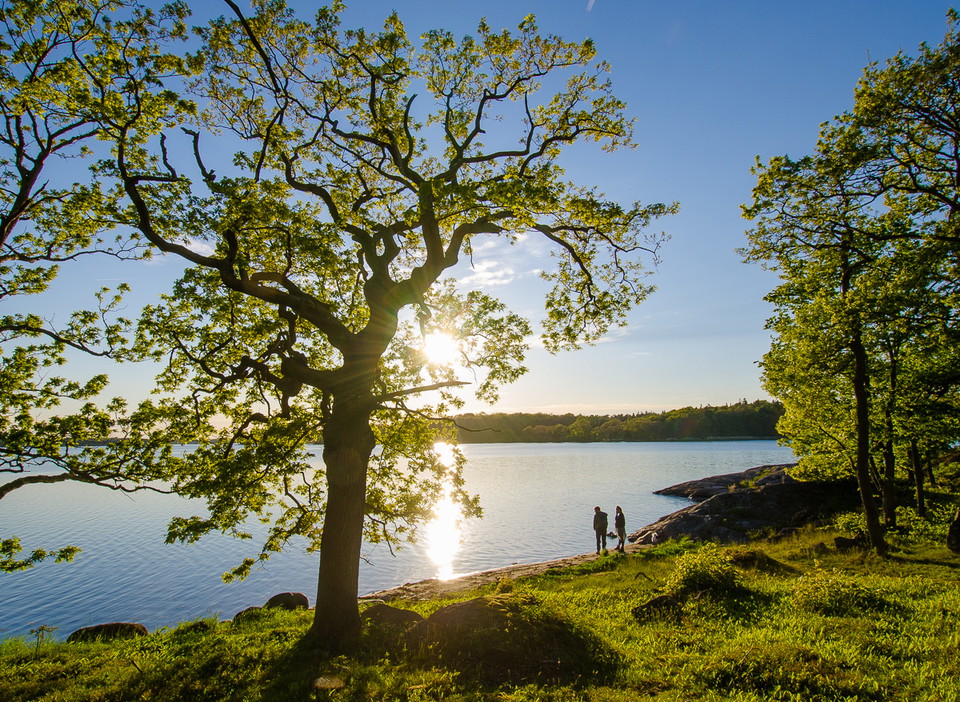
Vandringsrunda Svalemålaleden

  • Kommune: Ronneby
  • 6864.42 km fra dig
  • 6.3 km

A varied route, this walk takes you through pasture, broadleaf woodland and across rocky ground with amazing views out across the archipelago. The trail is marked in rainbow paint on posts and partly follows the Blekingeleden Trail. Check the app to make su…
Vandring

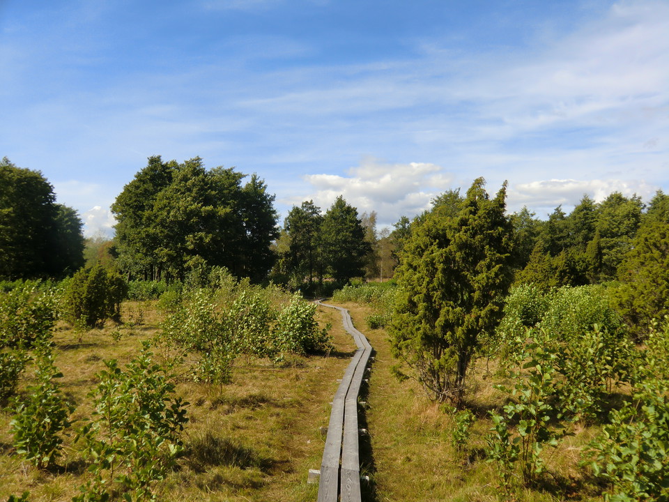
Blåmarkerad vandringsled

  • Kommune: Ronneby
  • 6877.39 km fra dig
  • 7.2 km

A walk through a beautiful coastal landscape, in the summer accompanied by grazing cows. Wander through broadleaf woodland in the south, along the coast in the west and through pine woods in the north. Picnic and barbecue spots along the route (see map). Th…

Vandring

Vandringsrunda Tromtöleden

  • Kommune: Ronneby
  • 6885.61 km fra dig
  • 4.5 km
  • Sværhedsgrad: Grøn

A circular walk in the Tromtö nature reserve running through woodland, meadows and pasture with ancient oak trees. There are places to stop and barbecue along the water’s edge on the unmarked “Strandstigen” (shore path, see map) and in the far east at Tumma…

Vandring

Vandringsrunda Järnavik – "Kamrastigen"

  • Kommune: Ronneby
  • 6862.97 km fra dig
  • 2.8 km

A pleasant walk on the rocky shore and paths which takes about an hour at a normal pace. Lovely coastal environment with broadleaf woodland and excellent sea views in places. There are barbecue areas on the route (see map). Markings on red posts, sometimes…

Vandring

Almöleden, Almö naturreservat

  • Kommune: Ronneby
  • 6884.20 km fra dig
  • 8.3 km

A popular route, more of a trail than a circular walk, that takes you through Almö nature reserve. Nearest to the mainland in the northern part of the nature reserve there is attractive pasture land with oak trees and leafy broadleaf woodland while to the s…

Vandring

09 Järnavik - Ronneby Brunn | Blekingeleden

  • Kommune: Ronneby
  • 6864.46 km fra dig
  • 21.1 km
  • Sværhedsgrad: Blå

From Järnavik Blekingeleden meanders down the coast back towards the forested landscape via open farmland around Väby, to the Vierydsån river, Torneryd and straight into Ronneby Brunnspark. A historic walk through a coastal landscape between the sea, the fo…

Vandring

08 Persgärde - Järnavik | Blekingeleden

  • Kommune: Ronneby
  • 6854.72 km fra dig
  • 15.1 km
  • Sværhedsgrad: Blå

Starting in Persgärde, follow the valley south through Törneryd with the sea far off on the horizon. This section takes you from the delightful lakes inland to the bare rock on the shoreline. Järnavik is one of Blekinge’s most popular harbours and one of th…

Vandring

10 Ronneby Brunn - Skärsviken | Blekingeleden

  • Kommune: Ronneby
  • 6873.20 km fra dig
  • 20.9 km
  • Sværhedsgrad: Grøn

With Ronneby Brunn and the park behind you, walk northwards towards the open fields around Levalunda and Edestad before the farmland is replaced by forest. From Södregöl in the south, you pass one lake after another before reaching the beautiful lake of Lis…

Vandring

Vandringsrunda Brunnsskogen

  • Kommune: Ronneby
  • 6873.67 km fra dig
  • 5.2 km

A beautiful, peaceful circuit in Brunsskogen with several places to stop for a rest or a barbecue, just 20 minutes’ walk from the centre of Ronneby. Picnic and barbecue spots along the route (see map). The circuit, called “Gula stigen”, the yellow path, is…

Vandring

Vandringsrunda Slättanäs

  • Kommune: Ronneby
  • 6880.52 km fra dig
  • 3.1 km

An easily accessible walk mainly through broadleaf woodland. If you like, you can extend the walk with a detour down to the sea where there’s a barbecue area, swimming and toilets.

Vandring

Vandringsrundor Garnanäs naturreservat

  • Kommune: Ronneby
  • 6865.77 km fra dig
  • 2.8 km

Quite a short circular walk in Garnanäs nature reserve which offers varied habitats, with broadleaf woodland, grazed land surrounded by pollarded linden trees and forest growing on rock. Along the beaches, bunkers are a reminder of concerns in the Second Wo…

Vandring

Kvalmsörundan

  • Kommune: Ronneby
  • 6882.57 km fra dig
  • 3.8 km

Kvalmsö is a beautiful island that offers a varied landscape and lovely views. You can reach Kvalmsö on foot via a bridge. Once on the island, follow the path marked with pink trail markers. Initially, you’ll walk through a forest dominated by spruce with s…

Vandring

Vandringsrunda Karön

  • Kommune: Ronneby
  • 6875.74 km fra dig
  • 2.1 km

A walk offering views of beautiful nineteenth-century houses, bearing witness to Ronneby Brunn’s heyday as a spa when guests came to take the waters and were taken across by steamer for cold baths and lunch at Schweizeriet, which is open to this day. Walk u…

Vandring

Öljehult - Båtasjörundan

  • Kommune: Ronneby
  • 6847.75 km fra dig
  • 4.2 km

Båtasjörundanl leads you around the fantastic landscape of Lake Båtasjön in Öljehult. Along the trail you can see, among other things, fascinating large cairns. Båtasjörundan is part of RonnebySlingor and along the trail you pass so-called points of interes…

Vandring

Hälsans stig - Ronneby

  • Kommune: Ronneby
  • 6873.01 km fra dig
  • 4.1 km

Nice walk along Ronnebyån and passes Brunnshallarna and Direktörsvillan and continues back to Söder bro

Bästa vandringslederna i Ronneby

Naturkartan samlar de vandringslederna i Ronneby som är populärast bland våra användare.

Naturkartan

Åbn dette i appen