Vandringsstig Malungsberget
- Kommune: Överkalix
- 6647.38 km fra dig
- 1.1 km
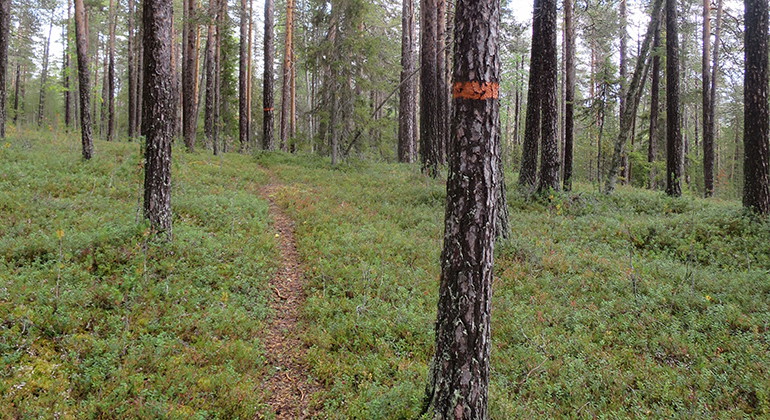
A 1.1 kilometres long trail from the parking spot up to the mountain top. The trail can be hard to find in some places.

Överkalix
Naturkartan samlar de vandringslederna i Överkalix som är populärast bland våra användare.

A 1.1 kilometres long trail from the parking spot up to the mountain top. The trail can be hard to find in some places.
Grelsbyberget Mountain is one of the real gems of Överkalix – not only because its nearness to the community makes it easy to reach, but also because of the highly diverse nature, the stunning views and all the lovely spots you can find. There are hikingtra…
Grelsbyberget Mountain is one of the real gems of Överkalix – not only because its nearness to the community makes it easy to reach, but also because of the highly diverse nature, the stunning views and all the lovely spots you can find. There are hikingtra…
Grelsbyberget Mountain is one of the real gems of Överkalix – not only because its nearness to the community makes it easy to reach, but also because of the highly diverse nature, the stunning views and all the lovely spots you can find. There are hikingtra…
A 300 metres long, unmarked trail.
A 900 metres long biking trail in Turpas. Guided tours on mountain bike are provided by explorejockfall.com
A 750 metres long trail.
Path following a ridge that ends in connection with a primeval forest
The culture trail is well marked with paint on the trees. The trail goes from Spardammen at the lake Sandsjärv all the way to Kvarnbäckens outfall to Ängesån. Distance from the swimming spot to Spardamm: 3 km Distance from the swimming spot to Spånhopen: 64…
This section of the Old biking trails are in quite good condition for biking, even though there are som wet and poor parts along the trail. On this trail you'll pass the Lumberjack hut Bastukojan that is well worth a visit.
Nice trails in a variation of distances for hiking and running.
This is one of the Old biking trails with two huts along the trail; Bastukojan and Kanslikojan that is well worth a visit. The status of the trail is quite good condition for biking, but there are some poor parts where you need to jump off the bike and walk…
This part of the Old biking trails are in quite good condition for biking. If you start from Turpas you'll get more downhill to Västra Jockfallsvägen. The trail is a bit teqnichal from Turpas and forward until you crosses the wooden-bridge over Kvarnån. Lat…
Naturkartan samlar de vandringslederna i Överkalix som är populärast bland våra användare.