Bästa vandringslederna i Östersund

Östersund

Naturkartan samlar de vandringslederna i Östersund som är populärast bland våra användare.

Billeder

Kort

17 Bästa vandringslederna i Östersund

Vandring

Bynäset runt

  • Kommune: Östersund
  • 6460.28 km fra dig
  • 7.0 km
  • Sværhedsgrad: Rød

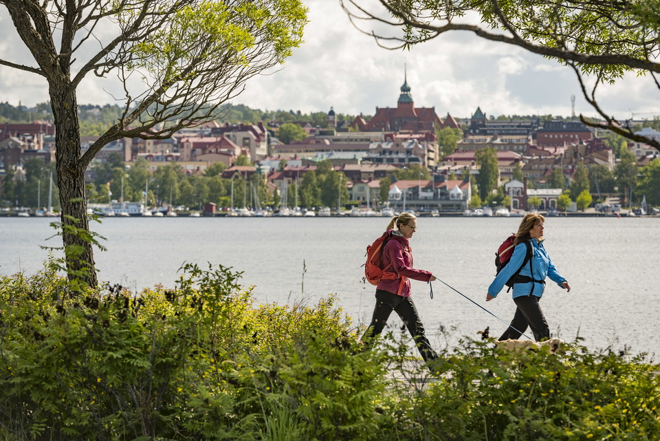
A nice trail that goes around Bynäset. Mostly the trail goes close to the water with very beautiful views of the lake and the mountains. The southern end of the trail is accessible with a gravel path about 2 km long that leads to a rest area with bench tabl…
Vandring

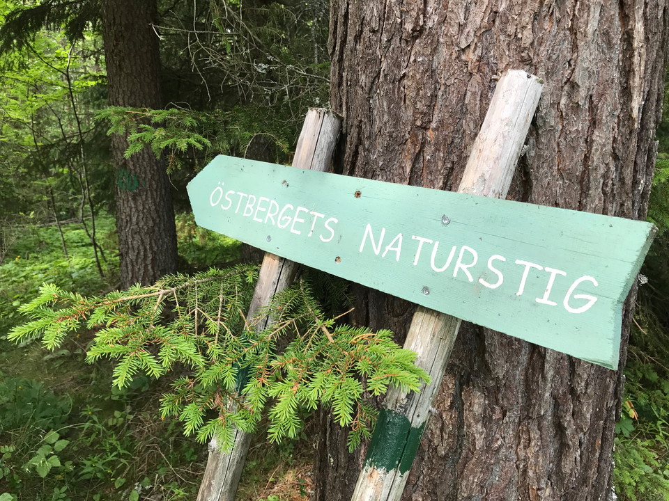
Östbergets naturstig på Frösön

  • Kommune: Östersund
  • 2.6 km
  • Sværhedsgrad: Blå

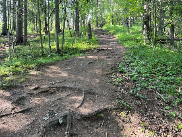
A path that goes around the top of Östberget on Frösön with nice views of Östersund. Occasionally you should watch out for roots on the path which is partly a bit wet and muddy. Signs along the way tell you about the nature around you.

Vandring

Andersön familjestigen

  • Kommune: Östersund
  • 6461.30 km fra dig
  • 2.1 km

Follow the signposted path through the forest, to the beach and at the edge of the open fields.

Vandring

Fillstabäcken stig

  • Kommune: Östersund
  • 6467.28 km fra dig
  • 2.1 km

Here you can follow the path through the forest to the limestone tuff and back again.

Vandring

Öjsjömyrarna spång

  • Kommune: Östersund
  • 6477.83 km fra dig
  • 1.4 km

The nice path takes you from the parking lot all the way out to the lake and the picnic area there. On the way, you can admire both orchids and beaver dens.

Vandring

Hälsans stig - Östersund

  • Kommune: Östersund
  • 6468.53 km fra dig
  • 6.9 km

A large part of the trail runs along Lake Storsjön and passes Göviken and Badhusparken and further by Stortorget and Jamtli and many other sights along the way.

Vandring

Torvalla stig

  • Kommune: Östersund
  • 6475.19 km fra dig
  • 0.5 km

Här kan du gå rakt igenom reservatet och beundra de gamla granarna och den mjuka mossan.

Vandring

Rödmyrmyren stig

  • Kommune: Östersund
  • 6469.63 km fra dig
  • 0.7 km

Här kan du gå torrskodd in bland gamla träd och vackra blommor.

Vandring

Toppstigen på Östberget

  • Kommune: Östersund
  • 6467.44 km fra dig
  • 4.8 km
  • Sværhedsgrad: Rød

The trail goes around the top of Östberget but is possible to connect from several "entrances" around the mountain. The trail passes nice viewpoints, barbecue areas, cold spring, windbreak and Frösötornet. A challenging trail that is steep in parts with a t…

Vandring

Bynäsets genväg

  • Kommune: Östersund
  • 6460.27 km fra dig
  • 2.4 km
  • Sværhedsgrad: Blå

Bynäset's shortcut starts and ends at the large parking lot, but turns off from Bynäset around and goes along the fence over the isthmus. The trail is about 2.4 km long and runs on gravel road, path and footbridge over wetter areas. The northern part starts…

Gåtur

Lillsjön runt

  • Kommune: Östersund
  • 6472.88 km fra dig
  • 2.6 km
  • Sværhedsgrad: Grøn

A nice easy trail that goes around Lillsjön.

Gåtur

Torvalla konststig

  • Kommune: Östersund
  • 6476.83 km fra dig
  • 1.0 km

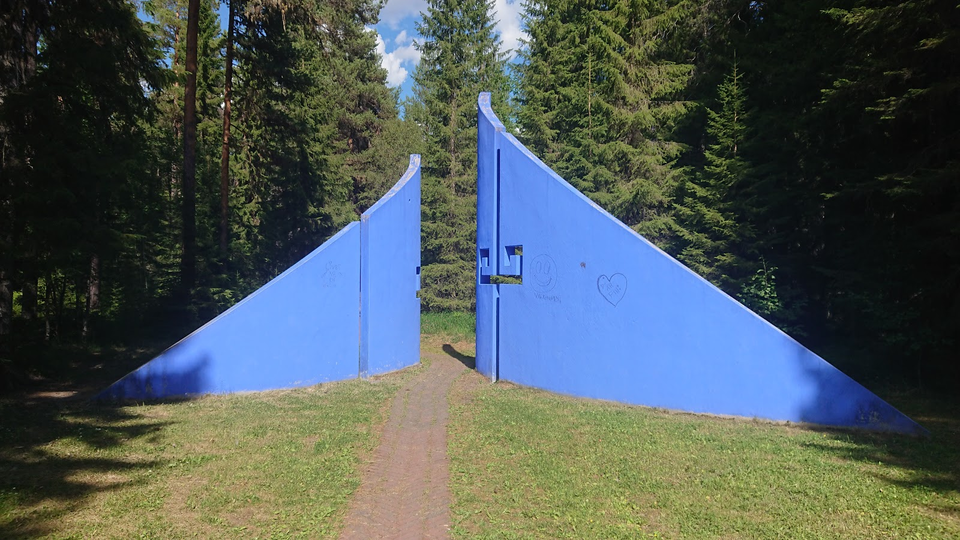
In the middle of the forest, following a path that offers more surprises, you will also find exciting works of art. There is also a trapping pit system for catching moose. The trail is short and easy to follow. Some written information is available on both…

Trail-løb

Spikbodarna motionsspår 13 km

  • Kommune: Östersund
  • 6472.93 km fra dig
  • 12.7 km
  • Sværhedsgrad: Rød

Spikbodarna's exercise trail runs through forest, over open areas and across marshland. A flat trail with very little uphill and downhill.

Langrendsski

Spikbodarna motionsspår 5 km

  • Kommune: Östersund
  • 6472.92 km fra dig
  • 5.0 km

The Spikbodarna trail runs through forest and open areas. It is an easy flat trail without any difficult descents.

Bästa vandringslederna i Östersund

Naturkartan samlar de vandringslederna i Östersund som är populärast bland våra användare.

Naturkartan

Åbn dette i appen