Nyhet!

Nu kan du dela dina bilder på Naturkartan! 📸

Læs mere

Bästa vandringslederna i Ödeshög

Ödeshög

Naturkartan samlar de vandringslederna i Ödeshög som är populärast bland våra användare.

Billeder

Kort

25 Bästa vandringslederna i Ödeshög

Vandring

Stocklycke - Borghamn, Östgötaleden

  • Kommune: Ödeshög
  • 6721.46 km fra dig
  • 10.4 km
  • Sværhedsgrad: Rød

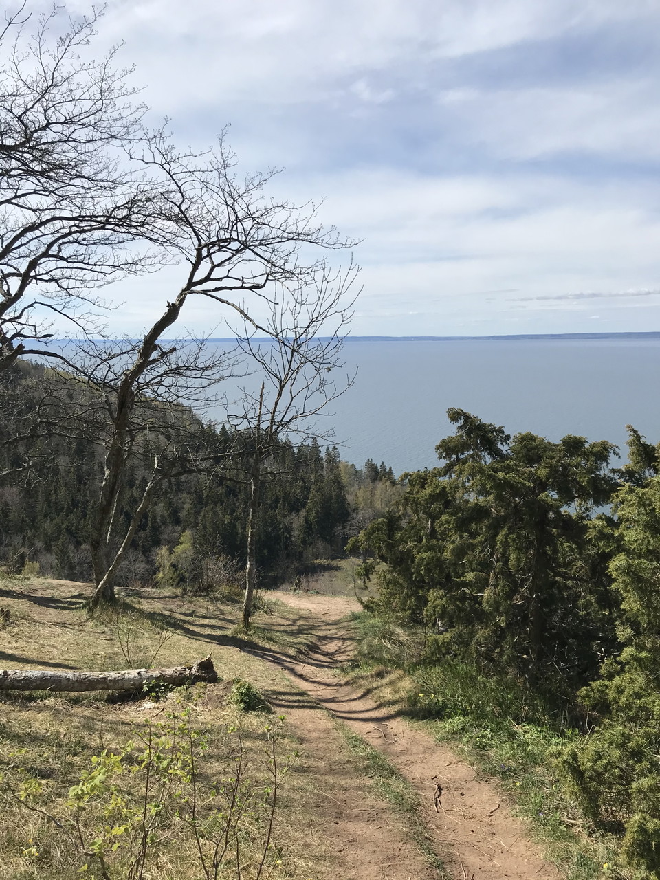
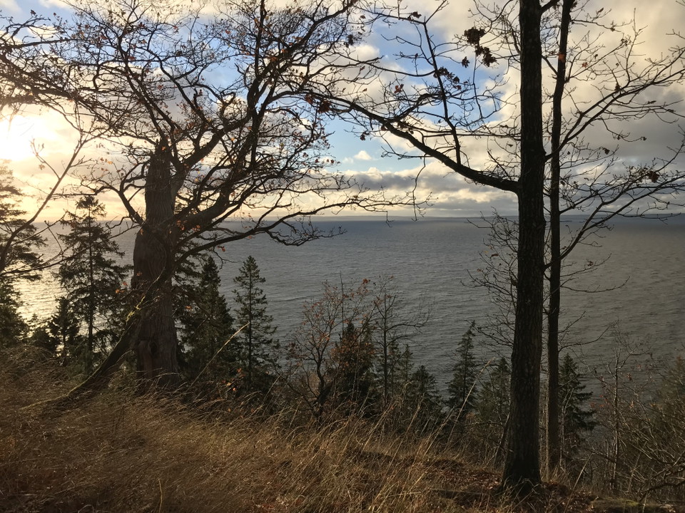
10.4 kilometres: 2–3 hours. Accommodation: Borghamn Strand (https://www.borghamn.com) If you begin the hike at Stocklycke, you really should start with a detour up to Hjässan, the highest point on Omberg. There you can enjoy a view of lake Vättern and the b…

Vandring

Ellen Keys led

  • Kommune: Ödeshög
  • 6722.95 km fra dig
  • 5.9 km

Vandringen bjuder på milsvid utsikt, lökdoftande bokskogar, knotig strandskog och en blomstrande slåtteräng. Leden går ner mot Vättern på rullstensåsen från Stocklyckes parkering. Efter 200 meter kommer du till en slåtteräng – en av de artrikaste och mest h…

Vandring

Älvarumsleden

  • Kommune: Ödeshög
  • 6722.15 km fra dig
  • 7.3 km

Encounter the diversity of the precipices and the natural forest next door, experience the drama of Lake Vättern and visit fine viewpoints. A couple of hundred meters after the start, the trail runs in a so-called slukränna, a trace of the Ice Age. North of…

Vandring

Borghamn - Alvastra, Östgötaleden

  • Kommune: Ödeshög
  • 6721.55 km fra dig
  • 14.5 km
  • Sværhedsgrad: Blå

14.3 kilometres, 3–4 hours. Accommodation: Omberg Turisthotell (https://ombergsturisthotell.com) This stage runs on the eastern side of Omberg and offers extensive views of the Östgöta plain and the expanse of the famous birding lake, Tåkern. The route run…

Vandring

Ödeshög - Trehörna, Östgötaleden

  • Kommune: Ödeshög
  • 6728.84 km fra dig
  • 23.3 km

You leave the plain and walk through a hilly and varied landscape towards woods. Winding gravel roads go through meadows and pastures mixed with coniferous forest. After 5 km of hiking, you reach a turn-off to the bathing area at Visjön, where there is a ba…

Vandring

Ödeshög - Stocklycke, Östgötaleden

  • Kommune: Ödeshög
  • 6722.96 km fra dig
  • 16.5 km

This is one of the most beautiful stages in Östergötland! The trail largely follows Lake Vättern with views of the lake and Omberg.The route is rich in historical sites and natural values. From Ödeshög, the trail follows an asphalt road for a few kilometers…

Vandring

Stig

  • Kommune: Ödeshög
  • 1.8 km

Go up to Hjässan. There used to be an ancient castle up here. One of three ancient castles on the mountain. There are traces of people on Omberg back to the same time as the last ice sheet retreated here, about 11000 years ago. Follow the blue trail down th…

Vandring

Bokskogsstigen

  • Kommune: Ödeshög
  • 6723.24 km fra dig

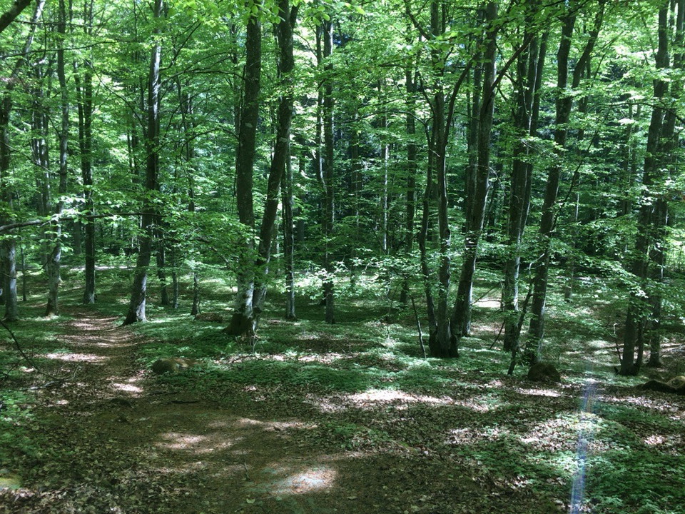
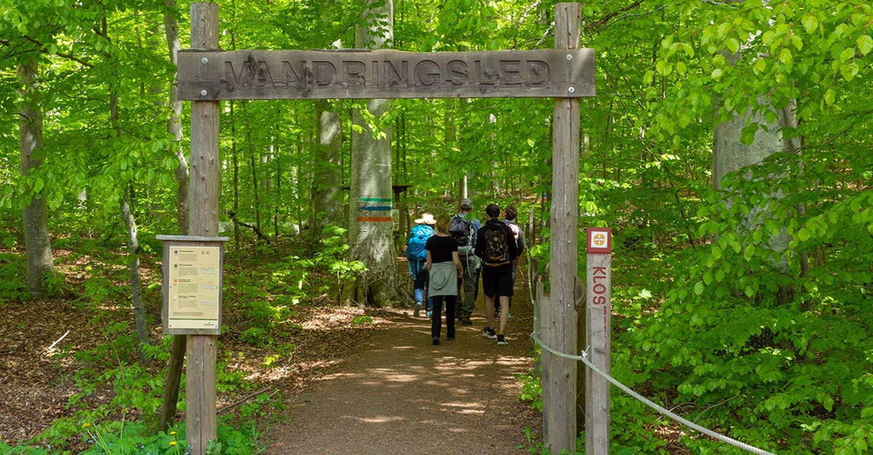
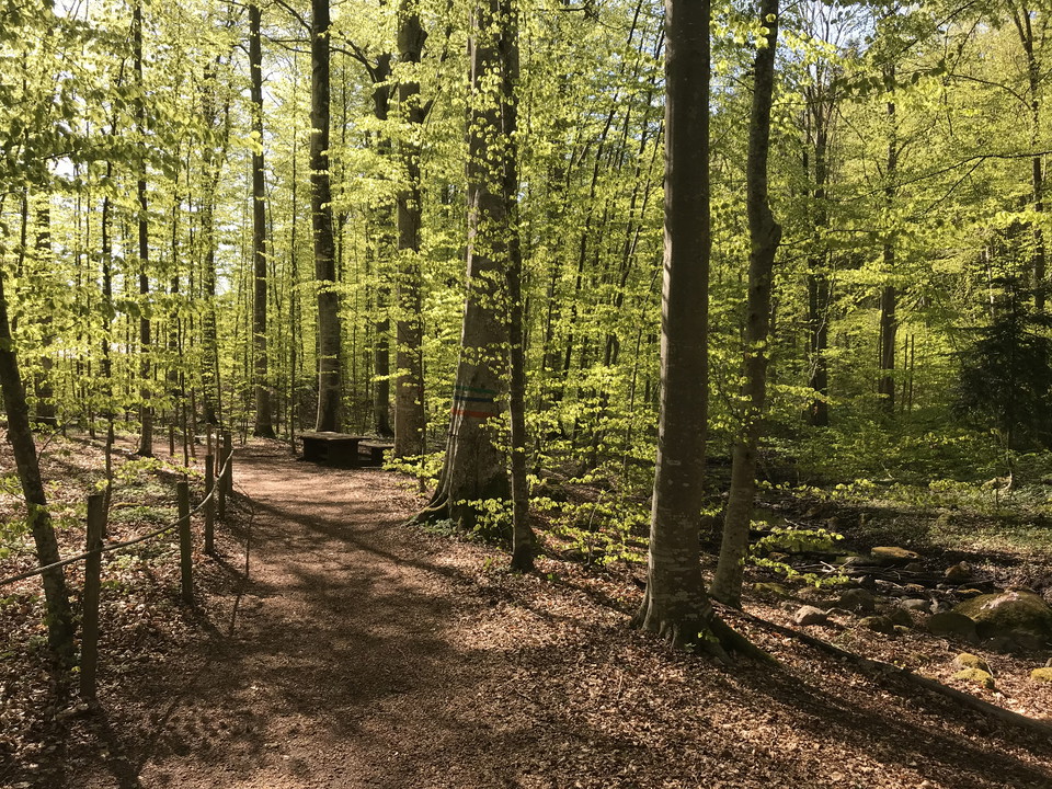
Meet the pillared hall of the beech forest outside Stocklycke hostel. On a 650 m long loop you can easily get around with a wheelchair, walker and stroller. Visually impaired people can find their way with the help of a guide rope. There are two picnic area…

Vandring

Skogsslingan - Träd och buskar

  • Kommune: Ödeshög
  • 1.9 km

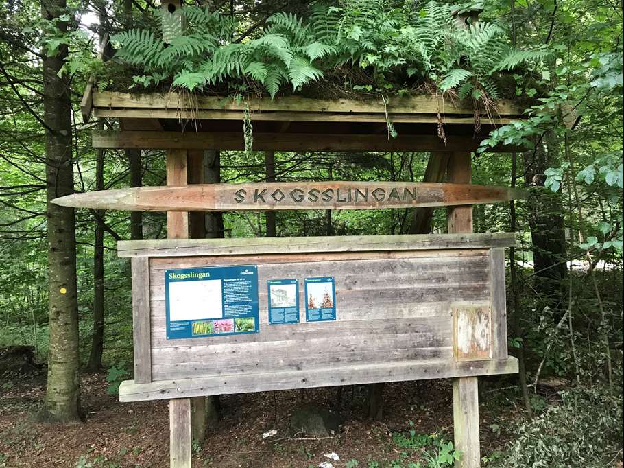
Utefter slingan kan du se över 40 olika sorters träd och buskar. Många av våra inhemska trädslag trivs på Omberg och återfinns här. Under skogsskolans tid infördes även många exotiska trädslag på Omberg. Idag är flera av dem gigantiska jättar. Slingan passe…

Vandring

Stig till Marberget.

  • Kommune: Ödeshög
  • 0.5 km

Path that takes you out to the Marberget viewpoint.

Vandring

Bokskogsstigen

  • Kommune: Ödeshög
  • 0.4 km

Meet the pillared hall of the beech forest outside Ekoparkscenter Omberg. On a 650 m long loop you can easily get around with a wheelchair, walker and stroller. Visually impaired people can find their way with the help of a guide rope. There are two picnic…

Vandring

St Birgitta Ways South, Hamburg - Vadstena

  • Kommune: Ödeshög
  • 6719.68 km fra dig
  • 1097.6 km

St. Birgitta Ways -South börjar i Hamburg i Norra Tyskland, går genom Danmark vidare genom Sverige: Skåne, Småland och Östergötland till Vadstena. Den binder på så vis samman Vadstena med övriga pilgrimdestinationer i Europa. Nästan varje dagsetapp passerar…

Vandring

Omberg och Istiden

  • Kommune: Ödeshög
  • 2.0 km

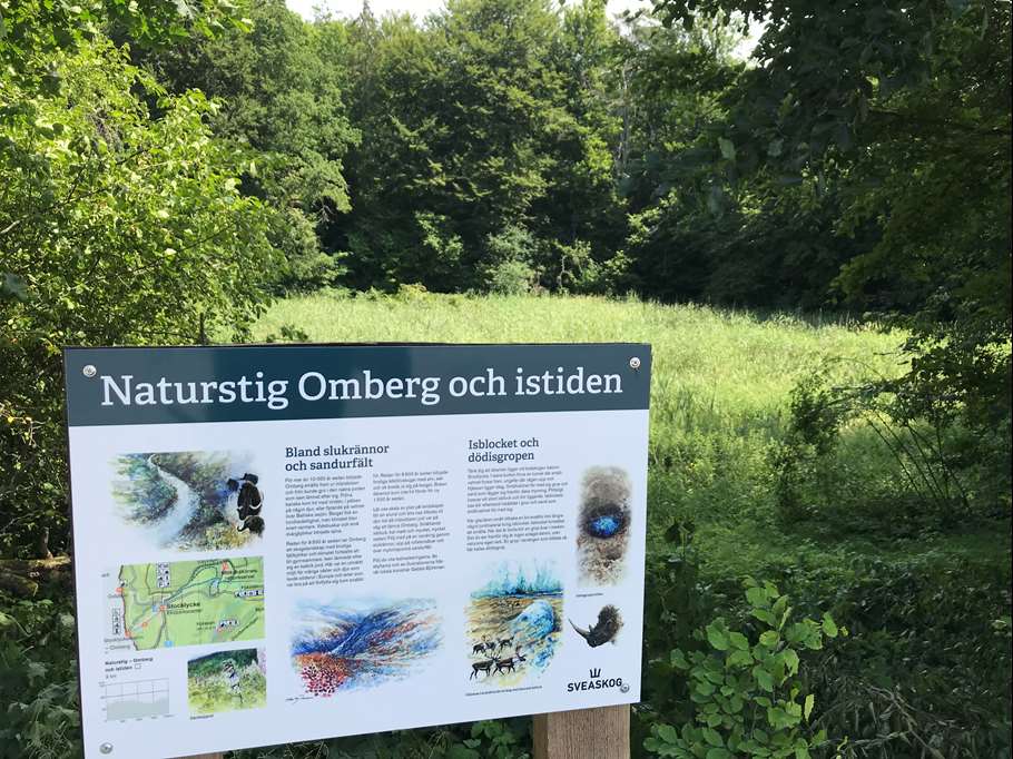
Do you know what a gully, a sandur field and a dead ice pit are? Signs at these unique remains tell you the history of the ice age and its significance for today's landscape on Omberg. A detour from the trail will also take you out to the Vätterbranten and…

Vandring

Franciskusleden, St. Birgitta Ways South

  • Kommune: Ödeshög
  • 6724.27 km fra dig
  • 138.1 km
  • Sværhedsgrad: Blå

St. Birgitta Ways runs along the Franciscus Trail. For more detailed information about the route, visit the Franciscus Trail website. Byarum - Måsarp, 17.9 km Trail markings: red and white lines and/or the Saint Birgitta Ways symbol Walks on gravel roads, f…

Vandring

Stig

  • Kommune: Ödeshög
  • 0.4 km

Path from southern Strandvägen out to Älvarums udde.

Bästa vandringslederna i Ödeshög

Naturkartan samlar de vandringslederna i Ödeshög som är populärast bland våra användare.

Naturkartan

Åbn dette i appen