Lindesberg

Bästa vandringslederna i Lindesberg

Naturkartan samlar de vandringslederna i Lindesberg som är populärast bland våra användare.

Kort

13 Bästa vandringslederna i Lindesberg

Vandring

Vandringsled, Näs

  • Kommune: Lindesberg
  • 6705.19 km fra dig
  • 0.4 km

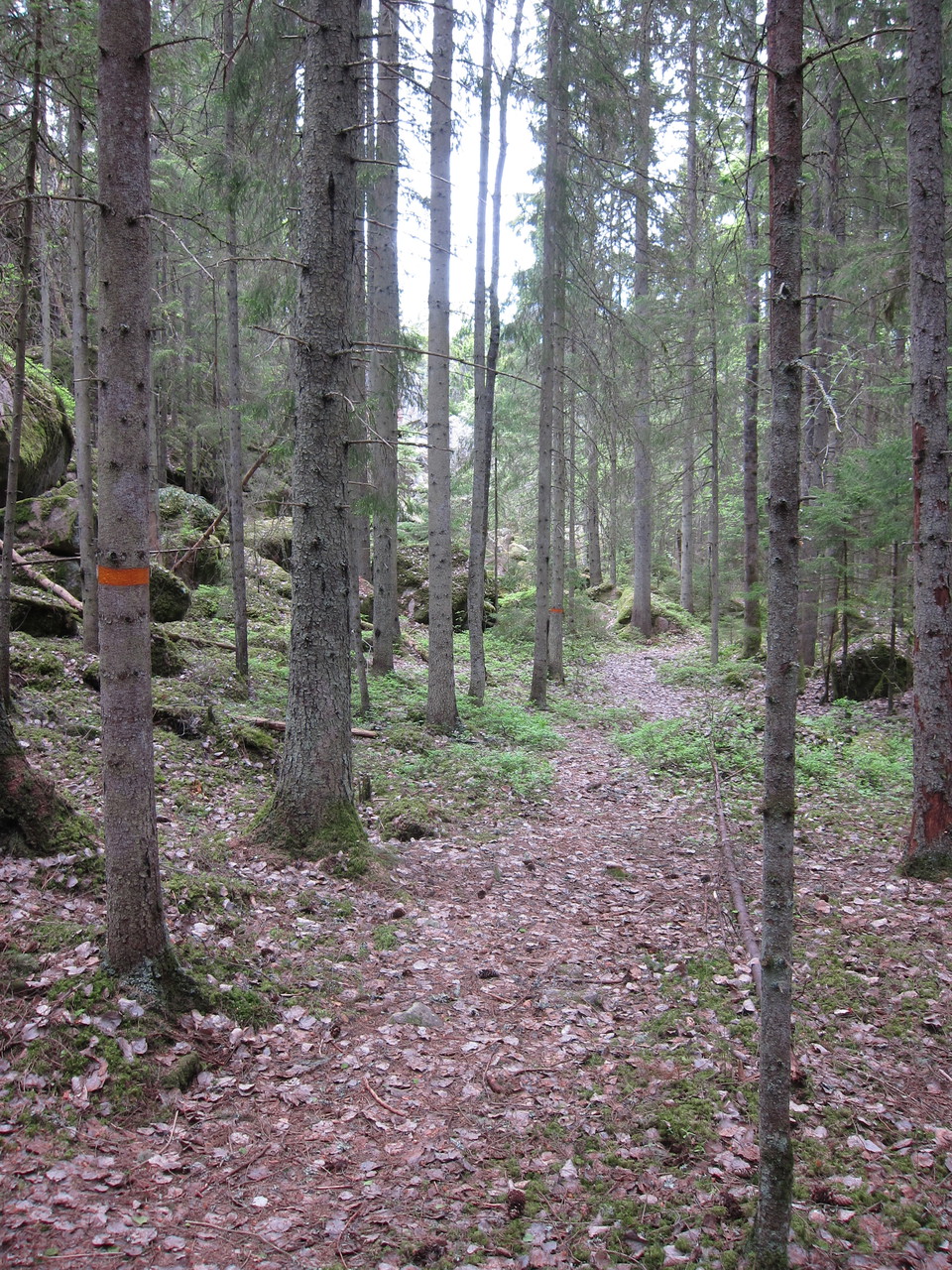
Follow the path marked with orange rings to the narrow rocky crevice Trånggatan, and further up the mountain. At the top of the mountain you have a beautiful view of the cliff edge and the surrounding forest. The path down goes just south of the crevice and…
Vandring

Kloten - Gillersklack, Bergslagsleden etapp 1

  • Kommune: Lindesberg
  • 6656.72 km fra dig
  • 20.0 km
  • 360
  • Sværhedsgrad: Rød

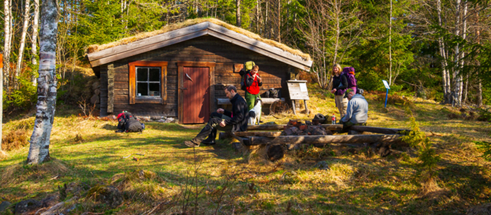
The Bergslagsleden Trail starts, or finishes if you are coming from the south, in the old forest workers’ village of Kloten, in the municipality of Lindesberg. The trail passes through forests, marshland, and peat bogs. Along the way you will discover the G…

Vandring

Nyberget - Uskavi, Bergslagsleden etapp 4

  • Kommune: Lindesberg
  • 6663.41 km fra dig
  • 23.0 km
  • 420
  • Sværhedsgrad: Blå

Here you make your way through remains dating back to the time when the Bergslagen mining district was at its peak, and where both iron ore and precious metals were mined. An excellent example is the Risbergsgruvan mine, which is typical of the smaller iron…

Vandring

Uskavi - Hammarby, Bergslagsleden etapp 5

  • Kommune: Lindesberg
  • 6672.46 km fra dig
  • 18.0 km
  • 300
  • Sværhedsgrad: Blå

This stage takes you along paths once used by miners and peasants when they made their way to church. At Södra Brunnsjön, a number of mysterious ruins are waiting to be explored, and the lakeside beach will almost certainly tempt you to take a refreshing di…

Vandring

Rundslinga Uskavi

  • Kommune: Lindesberg
  • 6672.45 km fra dig
  • 12.0 km
  • Sværhedsgrad: Blå

A slightly longer trail that is an ideal day walk. One of the best places to take a break and bathe is at Lake Södra Brunnsjön. Take the opportunity to visit Siggebohyttan, a row of beautiful mining peasants’ cottages. Marked with blue symbols, the trail li…

Vandring

Norra stigen

  • Kommune: Lindesberg
  • 6671.20 km fra dig
  • 4.2 km

Orange marking

Vandring

Södra Brunnsjön

  • Kommune: Lindesberg
  • 6676.02 km fra dig
  • 0.3 km
  • Sværhedsgrad: Grøn

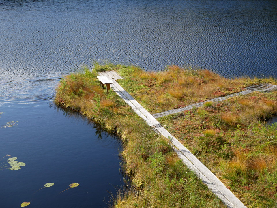
Accessible route and rest area with toilet, shelter and fireplace. The route connects to Bergslagsleden stage 5 and the Uskavi loop.

Bästa vandringslederna i Lindesberg

Naturkartan samlar de vandringslederna i Lindesberg som är populärast bland våra användare.

Naturkartan

Åbn dette i appen