Frostavallen
- Kommune: Höör
- 7.16 km
- Sværhedsgrad: Blå
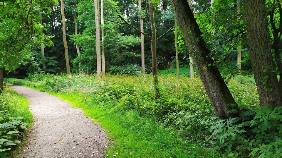
On paths and small roads you walk close to settlements, past planted forests and beautiful pastures. Ruins and memorial stones hide in the vegetation and water sources refresh you during the walk.

Höör
Naturkartan samlar de vandringslederna i Höör som är populärast bland våra användare.
On paths and small roads you walk close to settlements, past planted forests and beautiful pastures. Ruins and memorial stones hide in the vegetation and water sources refresh you during the walk.
The walk follows paths and minor roads through the interior of Skåne, where small open fields alternate with the otherwise wooded terrain. Here you will find protruding hexagonal pillars after the volcano's crater tube and an old sacrificial spring.
The trail passes by Bergrenska gården, Tjurasjö, Backadammen and Kulturhuset Anders.
Here you follow forest roads through beech forest and a larger area with planted spruce. In the south you enter Bjeveröd and Lägerplats Bjeveröd.
The Bjäretslingan is 3.3 kilometers long and is marked with white paint. Bjäretslingan runs through a fantastic natural area with untouched, exciting forest and cliffs. Inside the forest, the wonderful chirping of birds mixes with the peaceful babbling of t…
The approximately three-kilometer-long Brottets bana trail is an easy to moderate hiking trail that runs between Höörs Mölla and Stanstorp quarry in Stenskogen. There are also unmarked paths that wind through the forest; the municipality is not responsible…
From Tjörnarp in Höör you can connect to Skåneleden.
Naturkartan samlar de vandringslederna i Höör som är populärast bland våra användare.