Bästa vandringslederna i Gislaved

Gislaved

Naturkartan samlar de vandringslederna i Gislaved som är populärast bland våra användare.

Billeder

Kort

32 Bästa vandringslederna i Gislaved

Vandring

Knavraboleden

  • Kommune: Gislaved
  • 3.3 km

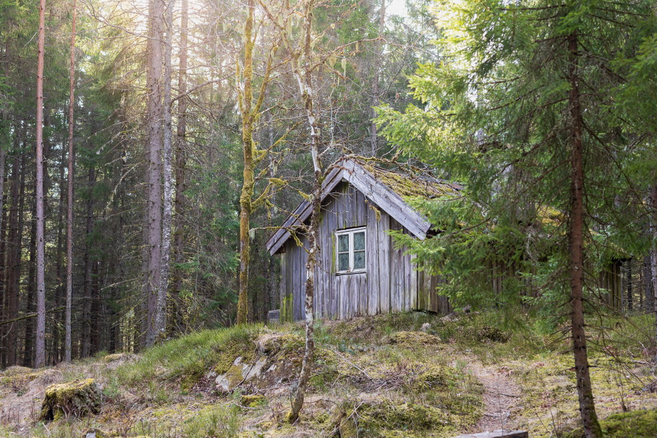
Knavrabo trail Knavraboleden is a scenic and idyllic hiking trail winding through an enchanting forest landscape with four lakes. Along the trail, you pass babbling streams, charming little bridges, and several peaceful spots where you can sit down and enjo…

Vandring

Hälsans stig - Gislaved

  • Kommune: Gislaved
  • 6720.23 km fra dig
  • 10.2 km

Along the trail you pass several attractions such as Hembygdsparken, Holmen, and Gyllenfors chapel. At times the river Nissan meanders along the path.

Vandring

Tuskeboleden

  • Kommune: Gislaved
  • 6717.77 km fra dig
  • 5.5 km

Tuskebo walking trail that runs along Tuskebosjön takes you back in time and offers many interesting cultural environments. The trail starts at Pålsbo about 5 km southwest of Gislaved. On the walk you move through two parishes - Våthult and Villstad. The fa…

Vandring

Fornminnesleden

  • Kommune: Gislaved
  • 6716.27 km fra dig
  • 4.7 km
  • Sværhedsgrad: Grøn

At the top of Gislaved municipality you will find Fornminnesleden. It consists of two trails of about 3 km and 7 km and is rich in ancient remains. Along the trail, which mostly runs through beautiful woodland, you can see burial grounds and burial cairns f…

Vandring

Gislaveds våtmark - vandra kring Rastadammarna

  • Kommune: Gislaved
  • 6720.88 km fra dig
  • 2.2 km
  • Sværhedsgrad: Grøn

On the outskirts of Gislaved there is a constructed wetland adjacent to the treatment plant. The wetland is home to a rich bird life that attracts many birdwatchers. The area has become a very popular hiking area as there is an exercise trail of almost 3 ki…

Vandring

Gislavedsleden etapp G4 Sandvik - Fegen - En del av Smålandsleden

  • Kommune: Gislaved
  • 6704.72 km fra dig
  • 15.1 km
  • 3 t 50 min
  • Sværhedsgrad: Blå

During this stage you continue your walk through the stunning nature reserve of Fegen. You walk through several villages with beautiful views of Lake Fegen. In Barslida the trail splits. You can choose to continue your hike to the community of Fegen, locat…

Vandring

Nissanleden

  • Kommune: Gislaved
  • 6.9 km

Nissanleden is a scenic hiking trail that follows the Nissan River between Smålandsstenar and Skeppshult. The trail is approximately 8 kilometres long and stretches from the power station at Ågårdsfors in the north to the illuminated exercise track in Skepp…

Vandring

Barmarksled, Ettö

  • Kommune: Gislaved
  • 6718.72 km fra dig
  • 1.3 km

The Ettö Nature Reserve features beautiful meadows filled with blooming flowers, fluttering butterflies, and sparkling pools of water. The Järnbärarleden trail passes through parts of the nature reserve. The reserve also includes a blue-marked trail that fo…

Vandring

Gislavedsleden etapp G1 Hestra - Gislaved - En del av Smålandsleden

  • Kommune: Gislaved
  • 6716.01 km fra dig
  • 16.7 km
  • 4 t 10 min
  • Sværhedsgrad: Blå

The stage starts at Isaberg, which is a rocky hill rising 150 meters above the surroundings. The northern part of the route is dominated by magical coniferous forest and the southern part by Småland village landscape. You walk mainly on forest paths and gra…

Vandring

Gislavedsleden etapp G2 Gislaved - Arnåsholm - En del av Smålandsleden

  • Kommune: Gislaved
  • 6712.42 km fra dig
  • 22.2 km
  • 5 t 30 min
  • Sværhedsgrad: Blå

This stage runs in a coniferous forest-dominated area along the beautiful Majsjön on mainly forest paths and gravel roads. Drinking water is available at the first farm you come to in the small village of Arnåsholm, which is located between the two lakes Ha…

Vandring

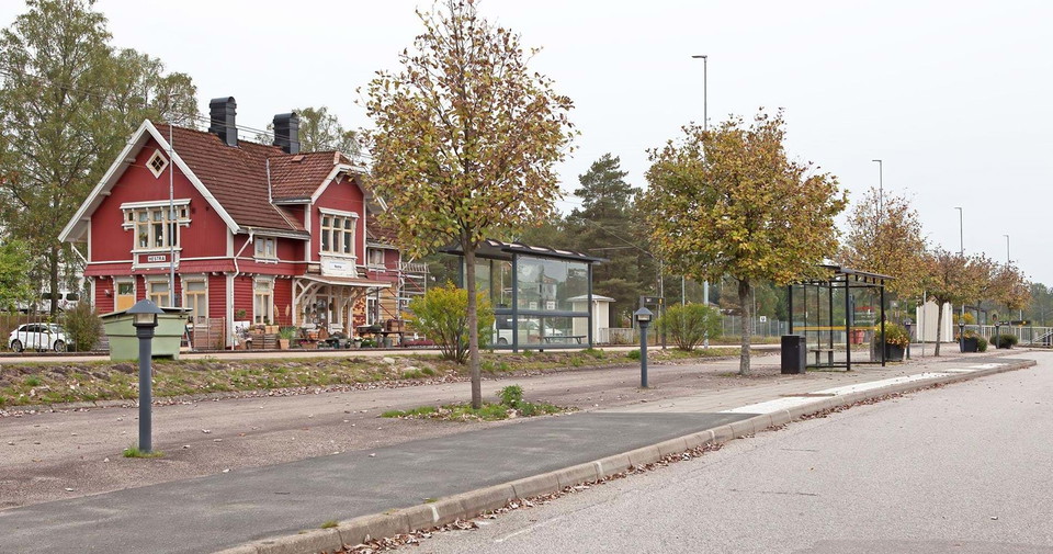
Anslutning Hestra station - G1/J1

  • Kommune: Gislaved
  • 6716.18 km fra dig
  • 0.5 km

An unmarked section between the main road and Hestra station. The distance is 0.5 km (one way). Both buses and trains stop at the station.

Vandring

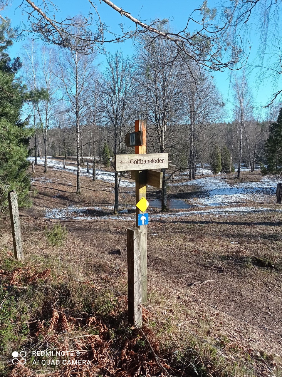
Isabergs GKs vandringsled

  • Kommune: Gislaved
  • 6718.64 km fra dig
  • 3.2 km

As you walk around the trail, you get a historical story from the history of Nissafors mill. Also take the opportunity to visit Ettö nature reserve where there are also beautiful hiking trails adjacent to the golf course trail.

Vandring

Rymdpromenaden

  • Kommune: Gislaved
  • 6721.11 km fra dig
  • 4.9 km

In the residential area Dalen in Gislaved, the spacewalk through our solar system begins. When you reach the last planet in Mossarp, you have walked a total of four kilometers. The solar system is on a scale of 1:1.5 billion and is an initiative of GAS - Gi…

Vandring

Gislavedsleden etapp G3 Arnåsholm - Sandvik - En del av Smålandsleden

  • Kommune: Gislaved
  • 27.6 km
  • 6 t 55 min
  • Sværhedsgrad: Blå

The stage starts in Arnåsholm, which is located between the two lakes Harasjön and Sävsjön. There is a bus stop here for those who want to start or end their hike here. The campsite Leabo Sand, to the south, provides wind shelters, barbecue pits and dry toi…

Bästa vandringslederna i Gislaved

Naturkartan samlar de vandringslederna i Gislaved som är populärast bland våra användare.

Naturkartan

Åbn dette i appen