
Ånge
Bästa vandringslederna i Ånge
Naturkartan samlar de vandringslederna i Ånge som är populärast bland våra användare.
Kort
46 Bästa vandringslederna i Ånge

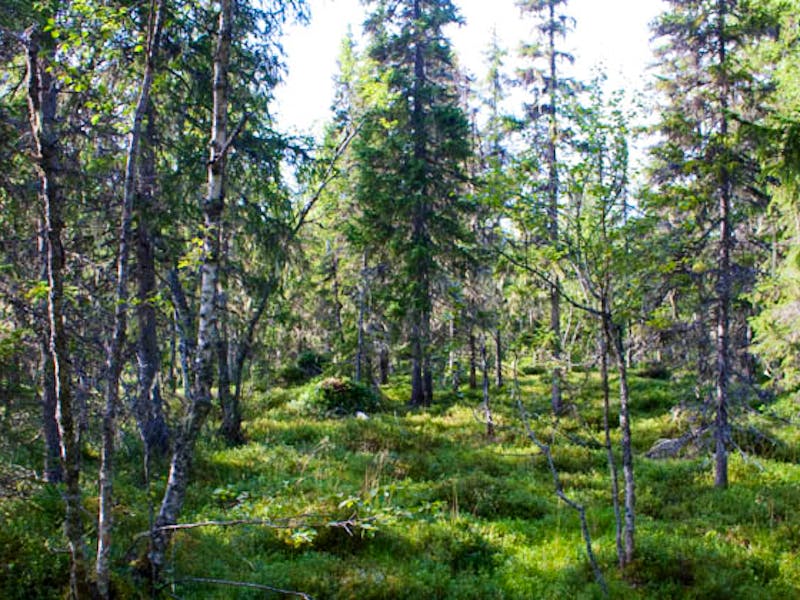
Stigen från Vattensjöns utlopp till Mejerstjärn över Flisternäset
- Kommune: Ånge
- 6532.11 km fra dig
- 4.9 km
blue
Hälsostigen Parteboda 5km
- Kommune: Ånge
- 6553.86 km fra dig
- 4.9 km
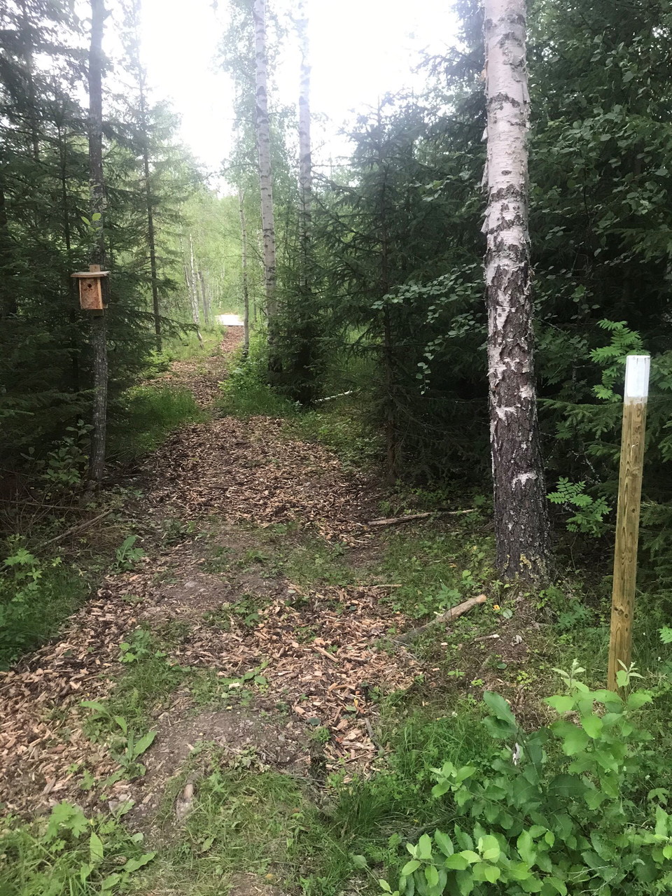
Parteboda village association's Health Trail that can be varied, this part is 5 km. There is also an outdoor gym along this part of the trail.
Stig till Öbergets topp
- Kommune: Ånge
- 6564.67 km fra dig
- 0.8 km
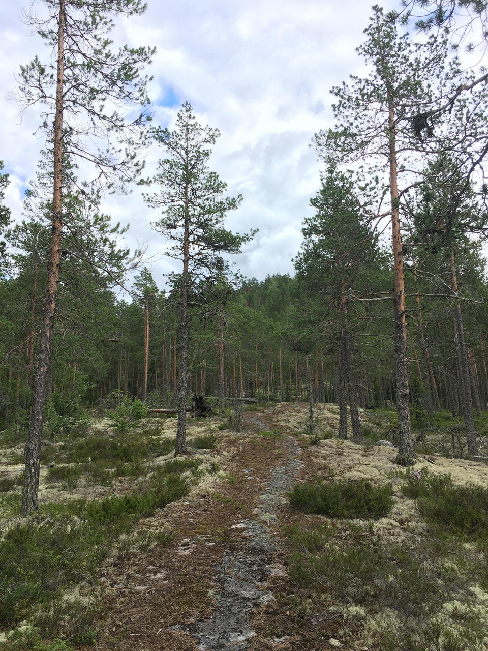
A magical view is the reward after the sometimes steep kilometer-long walk to the viewpoint at Öberget. Be careful on your hike as the path is sometimes narrow and it is steep in places.
Haverövallen vandringsled 3,2 km
- Kommune: Ånge
- 6529.51 km fra dig
- 3.2 km
Hiking trail in Haverövallen. Mainly in the forest. There is a water source along the path. Start and end at the parish hall. The path is marked in blue.
Haverövallen vandringsled 5,2 km
- Kommune: Ånge
- 6529.31 km fra dig
- 5.2 km
- Sværhedsgrad: Blå
Hiking/walking in Haverövallen. Mainly in the forest. Start and end at the parish hall. The path is marked in orange.
Stig till Getbergets topp
- Kommune: Ånge
- 6568.76 km fra dig
- 1.7 km
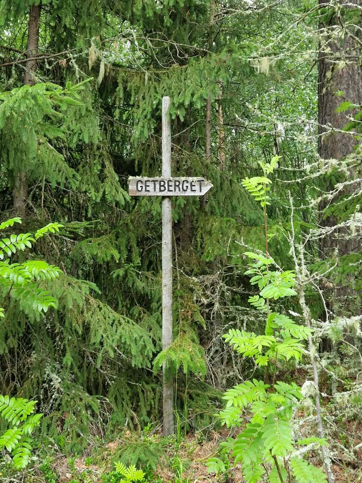
The trail starts at the water tower in Ljungaverk and goes all the way up to Getberget's top cabin. Parking is available on the E14 opposite the road up to the water tower.
Bästa vandringslederna i Ånge
Naturkartan samlar de vandringslederna i Ånge som är populärast bland våra användare.
