
Flattinge åsar, Naturreservat
- Naturreservat
- Amt: Kronobergs län
Handlinger
Beskrivelse
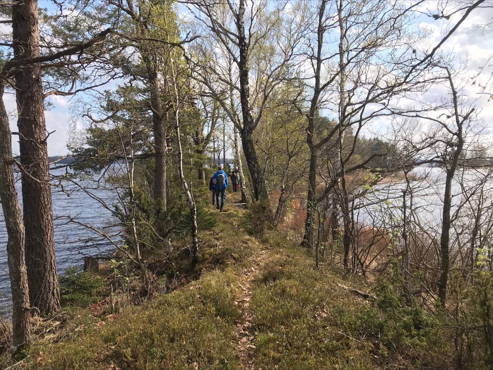
The nature reserve is a peninsula in Lake Flåren, northeast of Ljungby. The peninsula is just over 28 hectares and consists of a mountain and a clearly marked esker that forms a series of islands in the lake. The reserve also includes a water area around the peninsula and the islands.
Grönstensberget has given rise to a fertile deciduous forest that has been used for forest grazing from at least the mid-1600s to around 1950. The majority of the area will be allowed to develop freely.
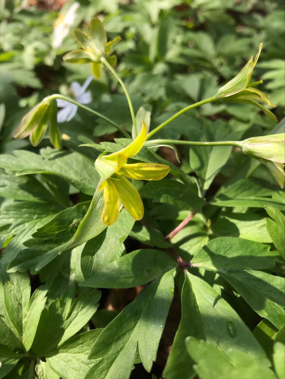
The natural forest-like noble deciduous forest has a very rich flora, with cowslip and liverleaf being common. On the esker, pine forest and berry bushes grow. In the nature reserve, osprey, honey buzzard, and lesser spotted woodpecker nest.
This translation is AI-generated.
Aktiviteter og faciliteter
- Naturreservat
Fakta
Protection year: 1994.
Area: 28 hectares.
Character: Greenstone hill, esker.
Municipality: Ljungby.
Rutevejledning
The area can be reached by boat on Lake Flåren. Walkers and cyclists can also reach it via small gravel roads from Flattinge.
Kontakt
E-mailadresse
Jeg har været her
Jeg vil gerne derhen 2

Spørgsmål og svar
Stil et spørgsmål til andre Naturkartan-brugere.
Anmeldelser
0 anmeldelser
- 5 :
- 4 :
- 3 :
- 2 :
- 1 :
Brugernes billeder
Der er endnu ingen brugerbilleder. Vær den første til at dele et!
