
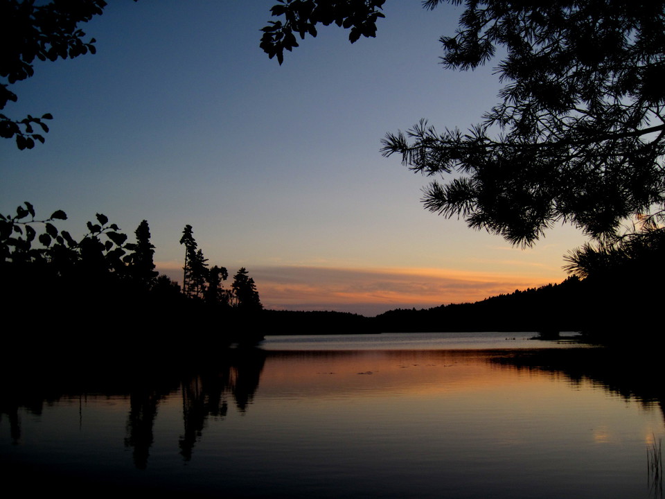
Högåsstigen - Skedala skog, orange led
- Vandring
- Trail-løb
- Amt: Hallands län
- 6724.16 km fra dig
Ruteoplysninger
- Længde 3.85 km
Handlinger
Beskrivelse
**OBS - the route has been changed, new gpx file is in progress.
Although Högåsstigen (orange) is short, it is a difficult loop that suits the more experienced hiker. The steep and rocky terrain makes it physically tough and the steep slopes can also require some courage.
Get to Skedala forest by bus or cycle along Hylteleden. There are also parking lots in the area.
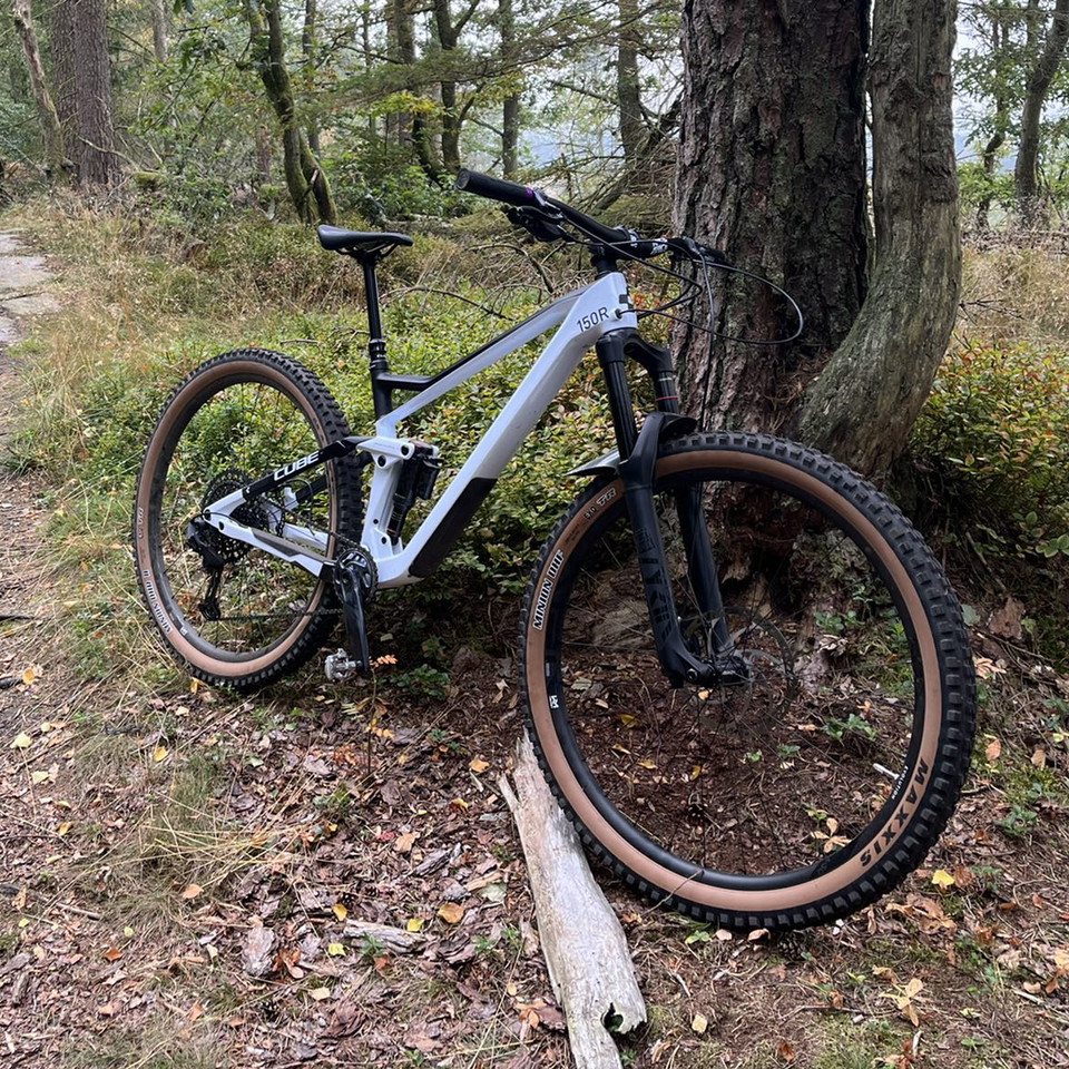
In addition to the hiking trails in Skedala forest, there is also the Skedala MTB Trail in the area. You will find them between Skedala village and Toftasjön.
More about Skedala forest at www.destinationhalmstad.se/skedalaskog
Aktiviteter og faciliteter
- Vandring
- Trail-løb
Kontakt
E-mailadresse
Halmstad direkt
Organisationens logotype

Jeg har været her 7




Jeg vil gerne derhen 7

Spørgsmål og svar
Stil et spørgsmål til andre Naturkartan-brugere.
Anmeldelser
0 anmeldelser
- 5 :
- 4 :
- 3 :
- 2 :
- 1 :
Brugernes billeder
Der er endnu ingen brugerbilleder. Vær den første til at dele et!
