
-
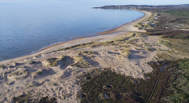
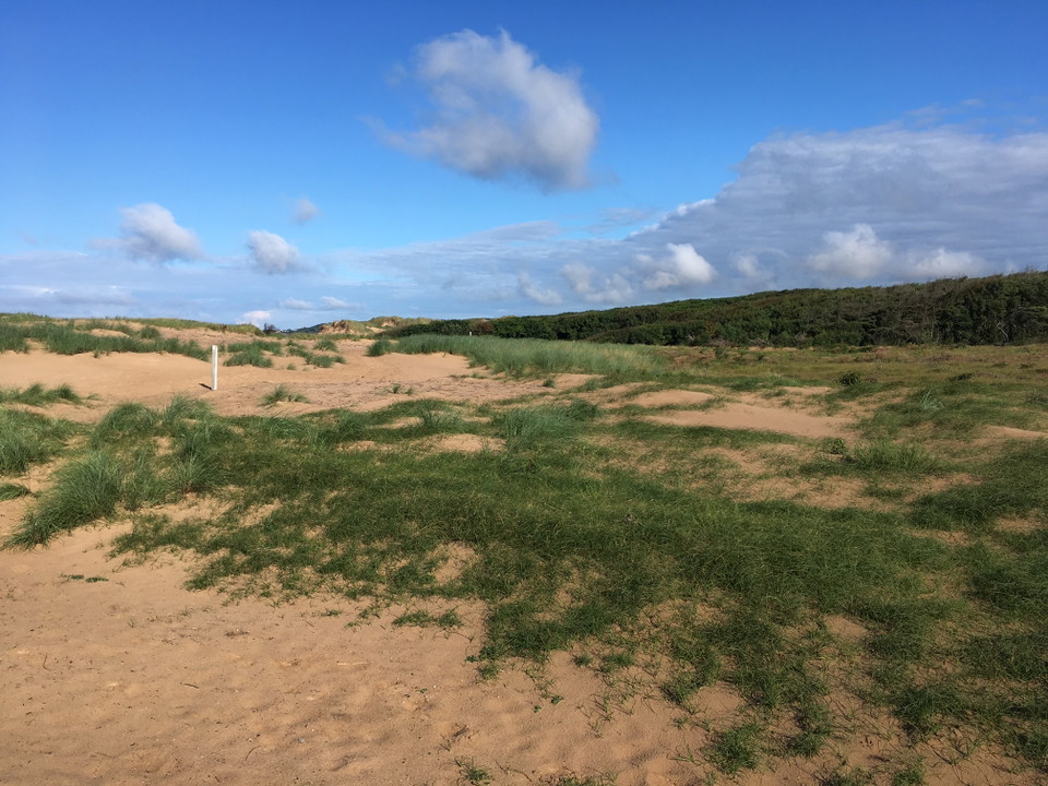
Vy ovanifrån över sanddynerna -
-
-
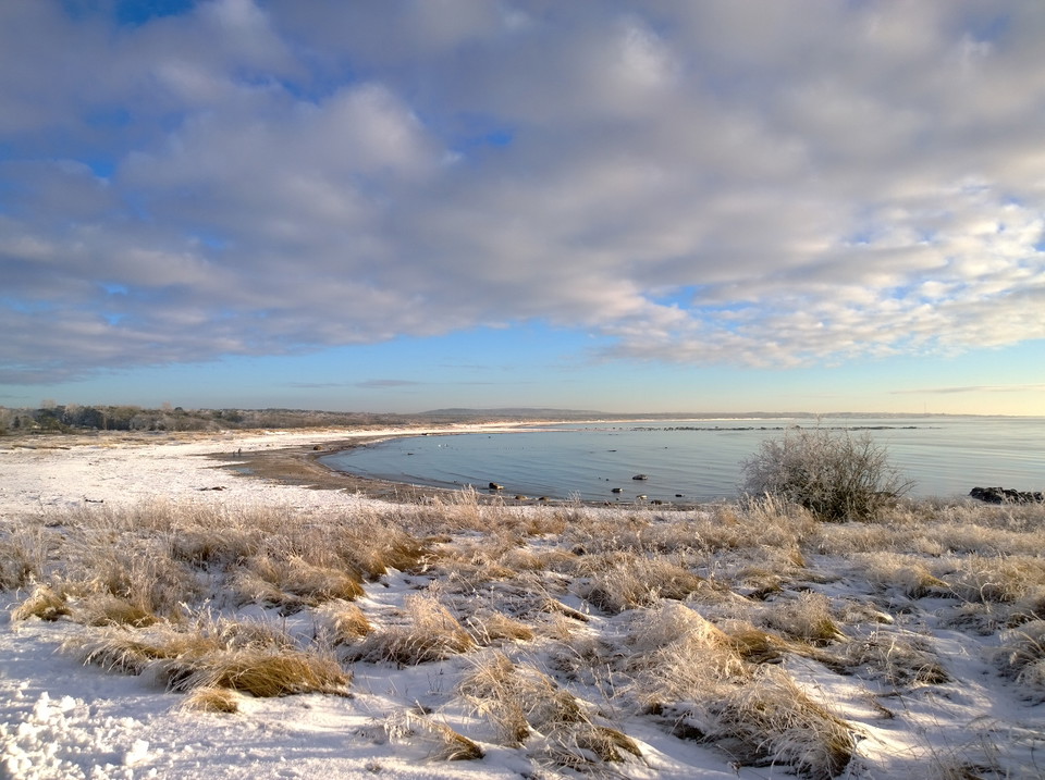
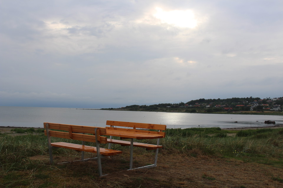
Vy över havet -
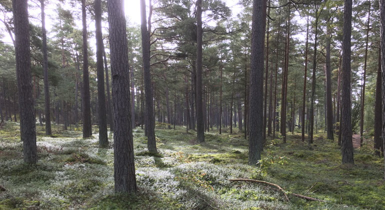
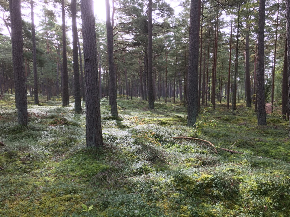
skogen i reservatet -
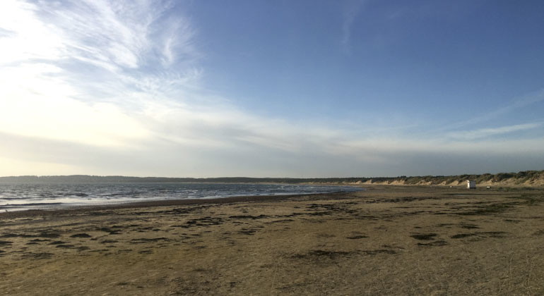
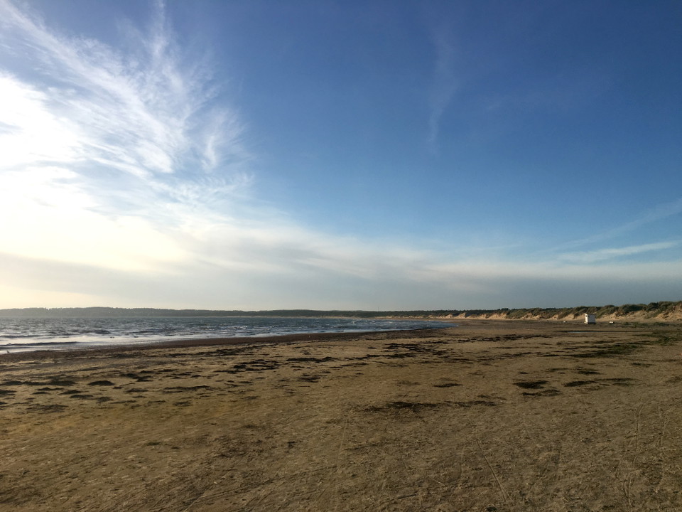
vy över stranden -
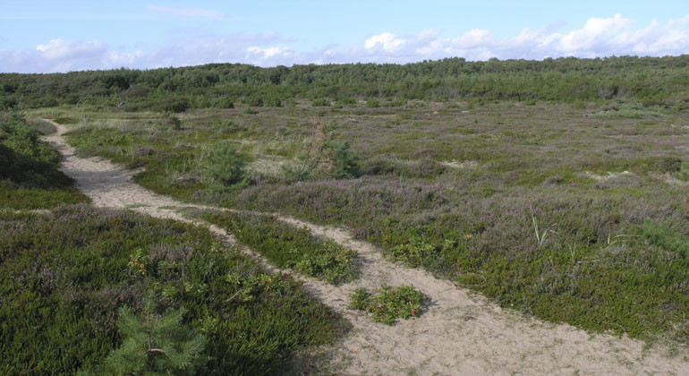
stig i reservatet -
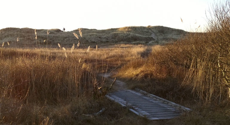
led i reservatet en höstdag -
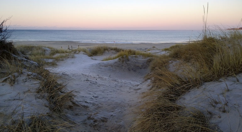
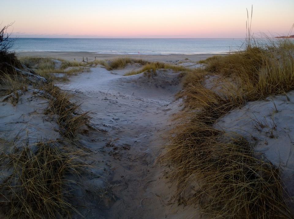
sanddyner -
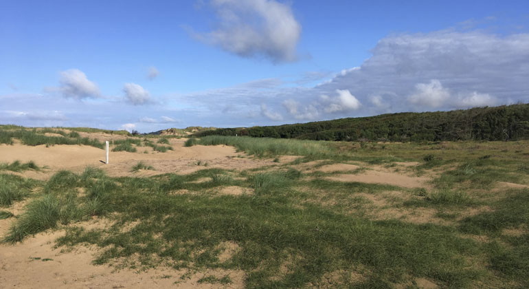
vy över sanddyner -
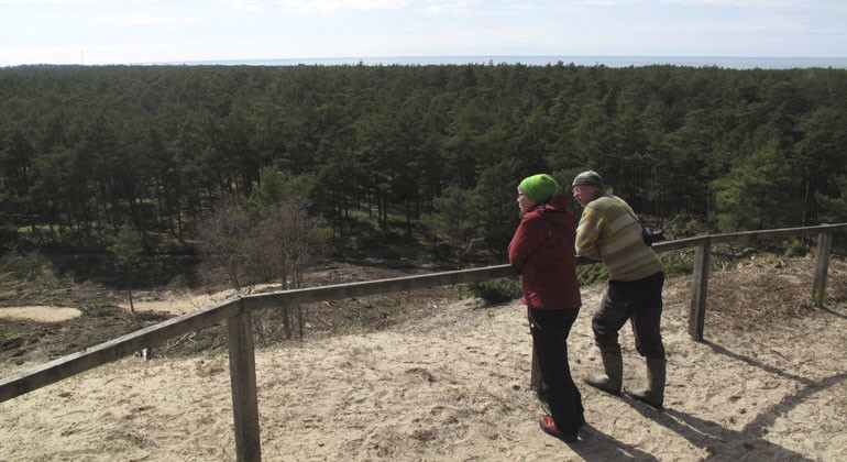
Två personer som njuter av utsikten i reservatet -
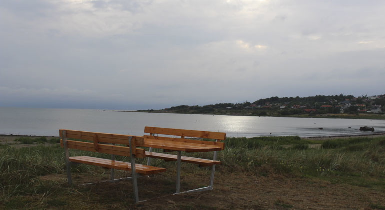
bänkar i reservatet -
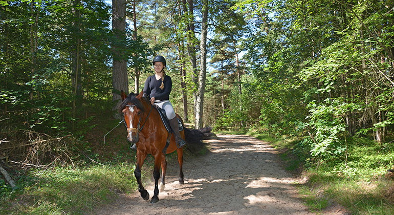
ridled i reservatet -
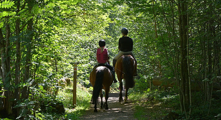
ridled i reservatet -
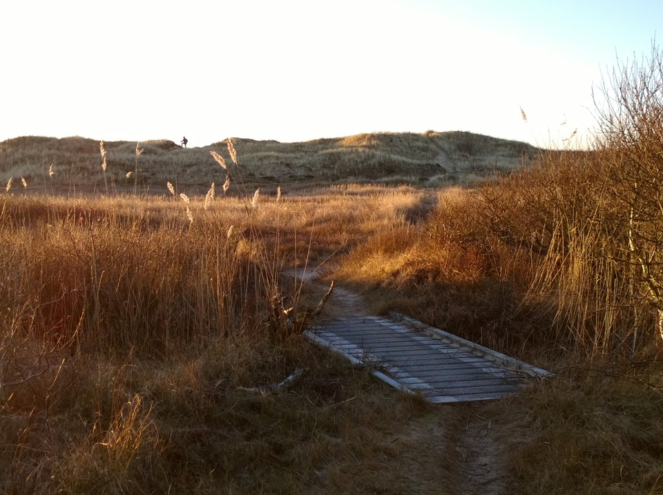
-
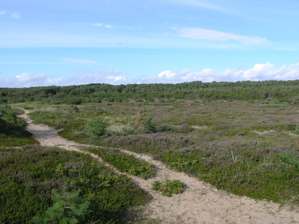
-
-
-
-
Haverdal, Naturreservat
- Naturreservat
- Amt: Hallands län
Handlinger
Beskrivelse
Haverdalsreservatet is one of Halland's oldest nature reserves. The area is a flying sand field located by the sea in Harplingebukten. Here you can swim, walk, jog, ride, drink coffee and pick mushrooms. Or go to Stora Sandkullen, from the top of the dune you have a nice view of the surroundings.
If you start from the parking lot at Lynga and hike down to the sea, you will experience a variety of habitats before you can dip your toes in the water. Closest to the parking lot is a stretch of fossil dunes in the pine forest. They began to take shape 400 years ago when the original forest was cut down.
The largest dune even has its own name, Stora Sandkullen. At 36 meters above sea level, it is probably the highest sand dune in Sweden. From the top you have a view of the reserve and its surroundings for miles. On clear days, the pine forest below is bathed in sunlight. Here the trees are relatively open. The ground is in various shades of green, but lingonberries and creams as well as reindeer lichen add extra color to the forest in late summer and autumn.
Paths and benches
There is an extensive network of paths, including a special nature trail (marked with ermine symbols) where you can learn more about Haverdal. Along the nature trail there are 15 signs with various facts about nature and the area. The nature trail starts from Lynga. At the Lynga parking lot there are also several tables and benches exposed.
There is also a bridle path in the reserve. It is 3.6-4.2 kilometers depending on which way you choose to ride. There are signs, maps and information about the trail in the reserve. To avoid mixing walking and riding, the bridle path is outside the regular marked hiking trails. In some places, however, there are crossings between the trails and there are signs posted to warn about the crossings, both for pedestrians and for riders.
Riders who want to get down to the beach should choose the so-called rescue route, which goes directly from the Lyngby parking lot and straight out to the beach.
Markings in the reserve
There are four marked trails in the reserve. The length and color of these are described below (see map of trails further down the page):
- Green marking, Nature trail - 3.3 km
- Blue trail - 3.6 km
- Orange trail - 4.6 km
- Yellow trail - 3.7 km
- There are also other trails in the reserve that do not have any special markings.
- There are also special bridleway markers on the 3.6-4.2 km bridleway. These signs are white and blue with a horse and rider on them.
Rich bird life
The Skinta stream runs through the reserve and is lined with deciduous trees such as birch and alder. If you are lucky, you can see Sweden's second-smallest bird, the wren, scurrying along like a mouse at the water's edge. The wagtail almost always has its tail up in the air and would probably avoid being seen if it weren't for the fact that it protests loudly against anyone who encroaches on its territory. The Skintan valley is home to a rich bird life with impressive bird song in May and June. Along the shores of Haverdal, oystercatchers and greater sandpipers can be seen, as well as other species of resting wading birds during migration.
Strong currents in the sea and tricky outlet from Skintan
Haverdalsbukten is shallow but can be affected by very strong currents and sudden seabed changes on windy days. If you get caught in the current, try to stay on course along the coastline to get out of the current.
As the Skintan outlet moves throughout the year depending on the weather and wind, the surfaces around the outlet are sometimes slippery, with soft sand that can feel like quicksand, where you can easily sink. So be extra careful where you put your feet when you are out and about at the outlets.
Spinning pine trees
In several places in the reserve, there are pine trees whose trunks are crooked or even knot themselves. Together, they form a small world of natural sculptures that, with the help of the imagination, can become the strangest figures. No one really knows why they have taken on such strange shapes. Perhaps it's the wind, insect infestation or something in the plants' genes.
Spider webs and gnarled aspens
On the walk down to the beach, you will also pass damp hollows where, among other things, wattle, bellflower, pine and various deciduous trees grow. Closest to the beach heath you are again under a canopy of leaves. Here you will find gnarled and set aspens whose leaves rattle loudly on windy days. From the sea you can hear the roar of the waves and the cries of seagulls. From the wide heath that waits behind the aspen trunks, you might hear the buzz of bumblebees and bees searching for nectar among the heather, hawthorn and other flowering herbs.
The dunes were planted with forest
Until the end of the 19th century, there was a treeless flying sand field with flowering sand heaths here inside Harpling Bay. The sandy field had long been used as pasture by local farmers. Peat and seaweed, and earlier also firewood and timber, were taken from here. But in the 17th and 18th centuries, the farmers of Haverdalen had increasing problems with flying sand covering roads and crops. They first tried to stop the sand with the help of fences and rice paddies, but eventually they had to take action. To bind the sand, the sandy field was planted with grass, pine, birch, alder and mountain pine in the early 1900s.
Sand Life opens up
Today, sand escape is no longer a concern, the problems are the opposite. The dunes have become overgrown with dense stands of grass, rice and shrubs, and the forest is getting denser. Many species that were once common are now red-listed or have disappeared completely. In the reserve, we are working to recreate and improve the habitats of species in the sandy soils. Through restoration, endangered species will be saved and lost species will have the opportunity to find their way back. Bare sand is re-created where flowers can grow and insects can dig nests. Haverdal Nature Reserve is one of the areas in Halland that has been restored as part of the EU Sand Life project.
Join us on a digital tour of Stora Sandkullen
Join our reserve manager up to the top of Stora Sandkullen.
Map of the trails in the reserve
You can print out the map below and bring it with you to the reserve.
Riding trails in the reserve
The bridle path is 3.6-4.2 kilometers depending on which way you choose to ride. There are signs, maps and information about the trail in the reserve.
Here you can see the route on a map in PDF format Pdf, 188.7 kB, opens in new window.
Digital folder
Here you will find information and facts about the Sand Life and Haverdal project, presented in a simple and concise way in text, images and maps.
Swedish version Link to another website
English version Link to another website, opens in new window
Aktiviteter og faciliteter
- Naturreservat
Fakta
Predominant habitat types: Flying sand field with grassy dunes and pine forest
Municipality: Halmstad
Area: 632 hectares
Protected since: 1942, 2013
Owner: Swedish Environmental Protection Agency
Trustee: County Administrative Board
Other: The area is part of Natura 2000
Rutevejledning
Bicycle: Turn off the Kattegattleden in Villshärad and follow the signs to the bathing area where there are bicycle racks (500 m).Public transport: Stop "Vilshärads camping" is located just south of the reserve and stop "Tångvägen" which is located just north of the reserve.Directions: The reserve is reached from the coastal road Halmstad-Gullbrandstorp-Steninge-Falkenberg. Immediately northwest of Gullbrandstorp, a road leads to the sea (signposted Vilshärad) to the southern part of the reserve. Half a mile further north you can reach the northern part of the reserve by driving towards Haverdal S or Haverdalsstrand. There are several parking lots at Båtabacken (address: Haverdalsvägen 37), Tångvägen (Tångvägen 1) and Tore Gudmarssons väg (Tore Gudmarssons väg 1).In the middle of the reserve there is the Lynga parking lot (address: Lynga 617), which is the starting point for several trails. Directions: From Halmstad Directions to Lyngaparkeringen: Drive north towards Steninge. At the sign that says Lyngalax turn left. Turn immediately right (you now have Lyngalax on your right). Follow the road and drive through the golf course. Shortly afterwards the road splits and you turn left. Follow the road to the parking lot.GPS (WGS84): Lat N 56° 42' 34" Lon E 12° 41' 47" (Lynga parking lot).
Regler
To protect the nature reserve, the County Administrative Board has decided on special regulations, including those that you as a visitor to the area must follow and respect.
In addition to what applies under other legislation, it is forbidden to:
- drive motorized vehicles other than on marked roads and park other than in designated places, park caravans or motorhomes within the reserve between 24.00 and 06.00,
- camping,
- drive a motorboat or other motorized watercraft at a speed of more than 5 knots within the marine area of the nature reserve,
- moor or tie up boats other than in moorings marked in the terrain or in the water area,
- bring an unleashed dog
- bring horses on marked footpaths,
- damage living or dead standing or lying trees and bushes
- damaging, picking or collecting plants. However, the picking of berries, mushrooms and individual specimens of vascular plants is permitted,
- make fires other than in designated areas,
- without the permission of the County Administrative Board, conduct scientific studies that contravene the regulations,
- collect insects and other invertebrates without the permission of the County Administrative Board. However, individual specimens may be collected provided that the collection does not violate conservation regulations and that traps are not used,
- organize camps or competitions without the permission of the County Administrative Board,
- without the permission of the County Administrative Board, put up a sign, board, poster, sign or make an inscription.
Kontakt
Adresse
Kontakta reservatsförvaltningen för frågor, synpunkter och felanmälan.
E-mailadresse
Länsstyrelsen i Hallands län
Organisationens logotype
Jeg har været her 25



Jeg vil gerne derhen 14
Spørgsmål og svar
Stil et spørgsmål til andre Naturkartan-brugere.
Anmeldelser
0 anmeldelser
- 5 :
- 4 :
- 3 :
- 2 :
- 1 :
Brugernes billeder
Der er endnu ingen brugerbilleder. Vær den første til at dele et!
