










Nyhet!

Nu kan du dela dina bilder på Naturkartan! 📸

Læs mere

Älvsåker - Stensjön, Bohusleden, etapp 1

  • Vandring
  • Tæt på offentlig transport
  • Tæt på toilettet
ud af 5 stjerner

Ruteoplysninger

  • Længde 25.0 km
  • Tid 8 t
  • Sværhedsgrad Blå – mellem

Handlinger

  • Rutevejledning

Beskrivelse

The route is relatively easy to walk, but still long enough to feel longer than a promenade. After completing the hike, you will have covered almost two miles of the Nordsjöleden/Bohusleden. Start at Blåvättnerna near the border with Halland. The finish is north, at Stensjön in Mölndal.

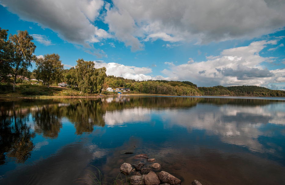
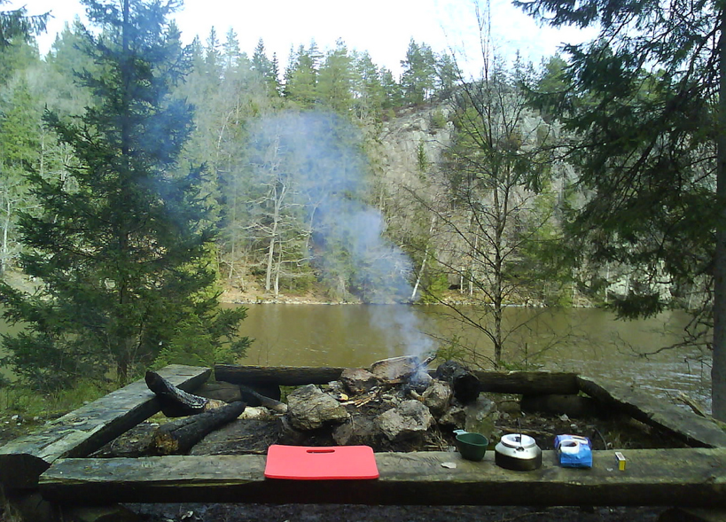
On the way: At Stora Hassungaredssjön there is a swimming and barbecue area, shelter and WC. Herkulesgården has a shelter. Gunnebo Castle with its famous café is conveniently located as a rounding off for the first stage of the Bohus Trail.

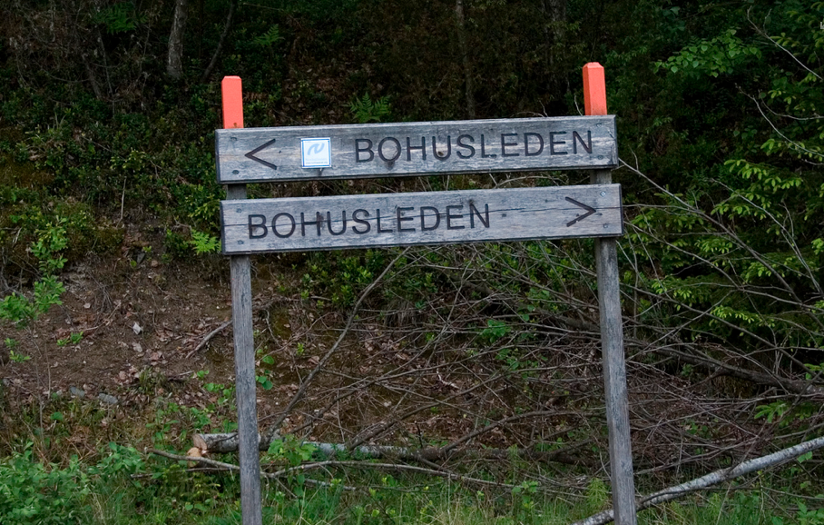
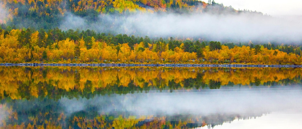
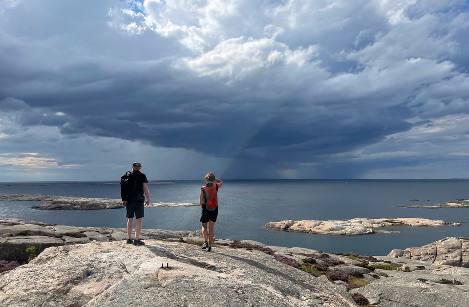
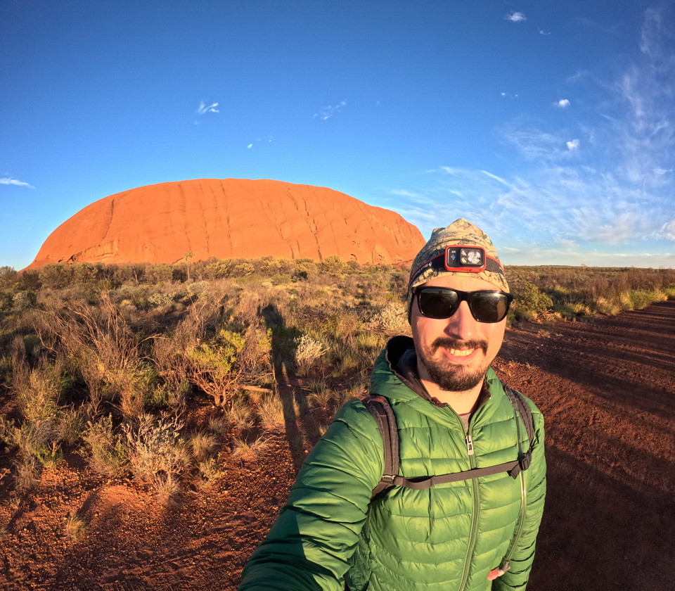
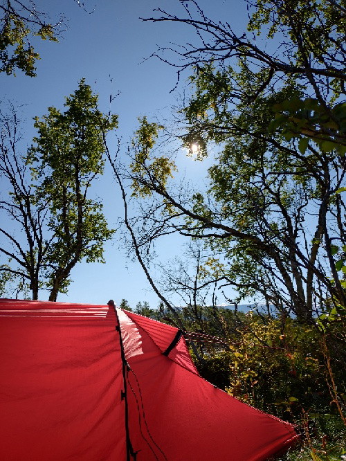
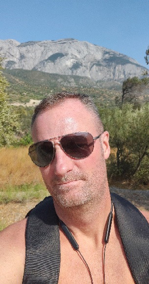
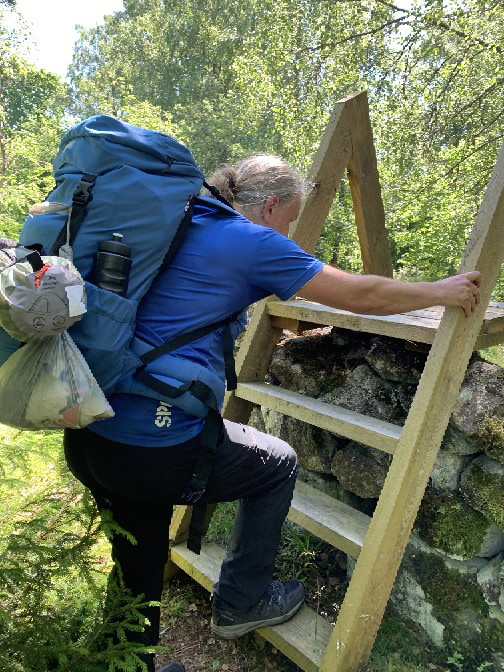
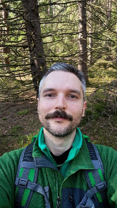
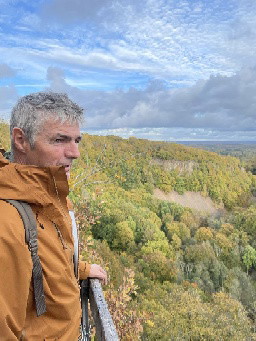
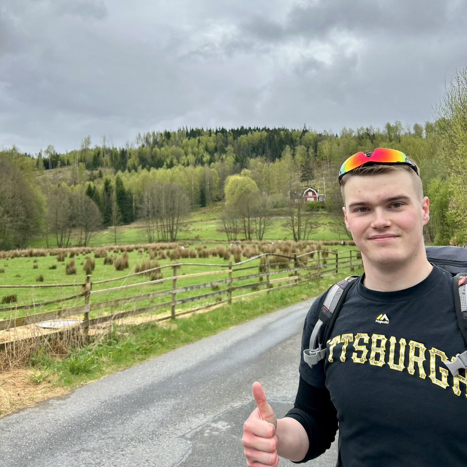
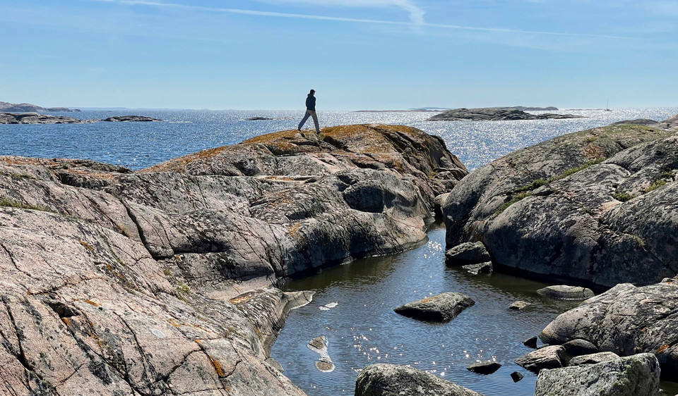
Photo: Dennis Lundqvist, Johan Bengtsson (CCBY2.0)

Bohusleden consists of 27 stages that offer a total of about 35 miles of varied hiking through Bohuslän's beautiful nature. The trail stretches from Älvsåker in the south, on the border with Halland, to Strömstad in the north.

Vejrudsigt (kl. 12.00)

Indlæser…

Kom hertil med offentlig transport

Aktiviteter og faciliteter

  • Vandring

Tilgængelighed

  • Tæt på offentlig transport
  • Tæt på toilettet

Fakta


Downloads

Jeg har været her 43

Jeg vil gerne derhen 65

Anmeldelser

—

0 anmeldelser

ud af 5 stjerner

5 :
0.0%
4 :
0.0%
3 :
0.0%
2 :
0.0%
1 :
0.0%

Spørgsmål og svar

Stil et spørgsmål til andre Naturkartan-brugere.

Brugernes billeder

Del dine billeder fra stedet!

Naturkartan

Åbn dette i appen