Welcome to the Cultural Trail of Laus Backar
The
cultural trail offers both beautiful views and a story about the
parish's history. Lau is a rich cultural area where we see remains
from all ages in today’s landscape.
‘Lau’ means open coastal lands. In the Paleolithic Age, Lau was a
small, uninhabited and narrow island. The post-glacial rebound
created a land connection to Gotland and the first people settled
here. Around 4,600-year-old remains of settlements have been
found at the farms of Gannor and Gumbalde.
Lau grew further during the Iron Age. Now it was possible to
manufacture advanced tools, boats and buildings. The ancient
castle at Botvide backar on the northern tip of Laus backar dates
from this time. During the Viking Age and the early Middle Ages,
there was extensive trade with the outside world. A large port
facility was established below Botvide and from the beacon at
Vardbjargsklippan there was a good view of the Lau Bay.
Almost every farm used to have its own windmill. Today, six
remain, three of which are in prominent locations on Laus backar.
In the 1890s, there was a land reform, when the many small and
mixed estates were merged into large units. This formed the basis
for today’s agricultural landscape. However, in the northern part
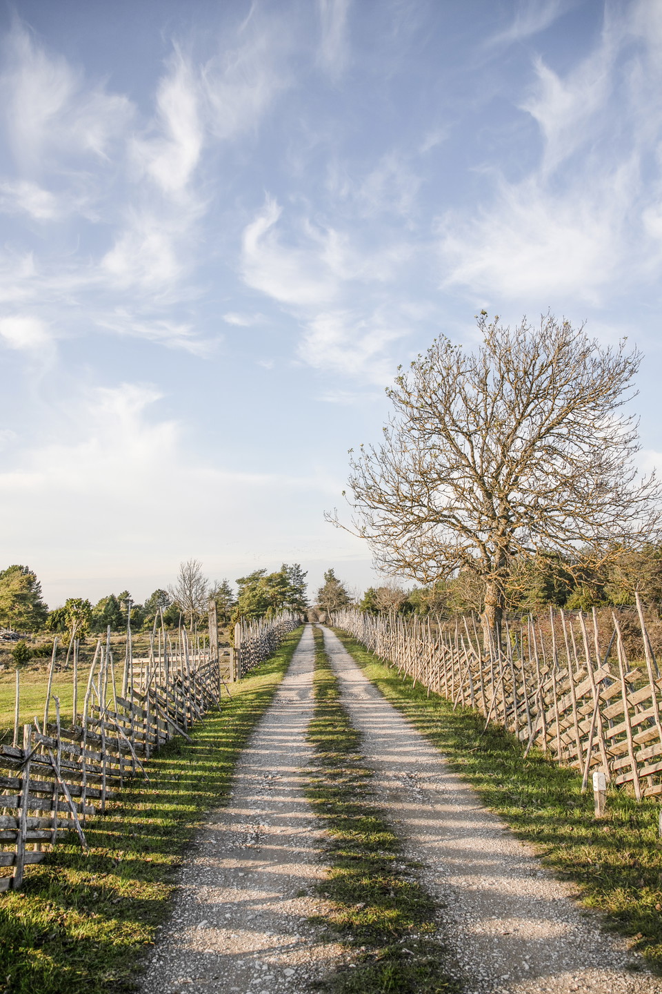
of Laus backar, an ancient cultural landscape with its extensive
fence system of banded enclosures has been preserved.
Visit Lau.se for more information.