
-
-
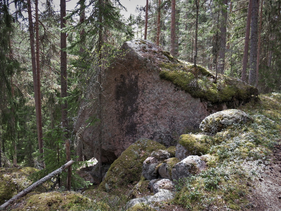
Utter-fars sten -
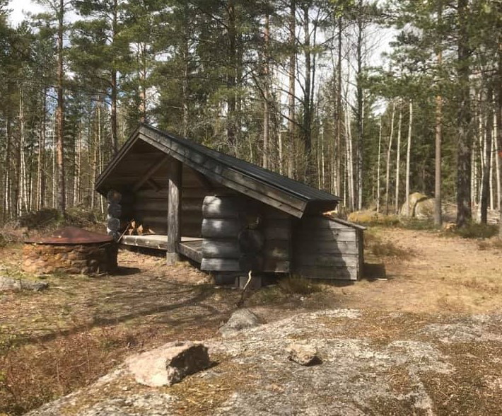
Ett vindskydd ligger på höjden ovanför parkeringen.
Utter-fars sten
- Vandring
- Trail-løb
- Parkering i nærheden
- Amt: Dalarnas län
- 6638.81 km fra dig
Ruteoplysninger
- Længde 4.0 km
Handlinger
Beskrivelse
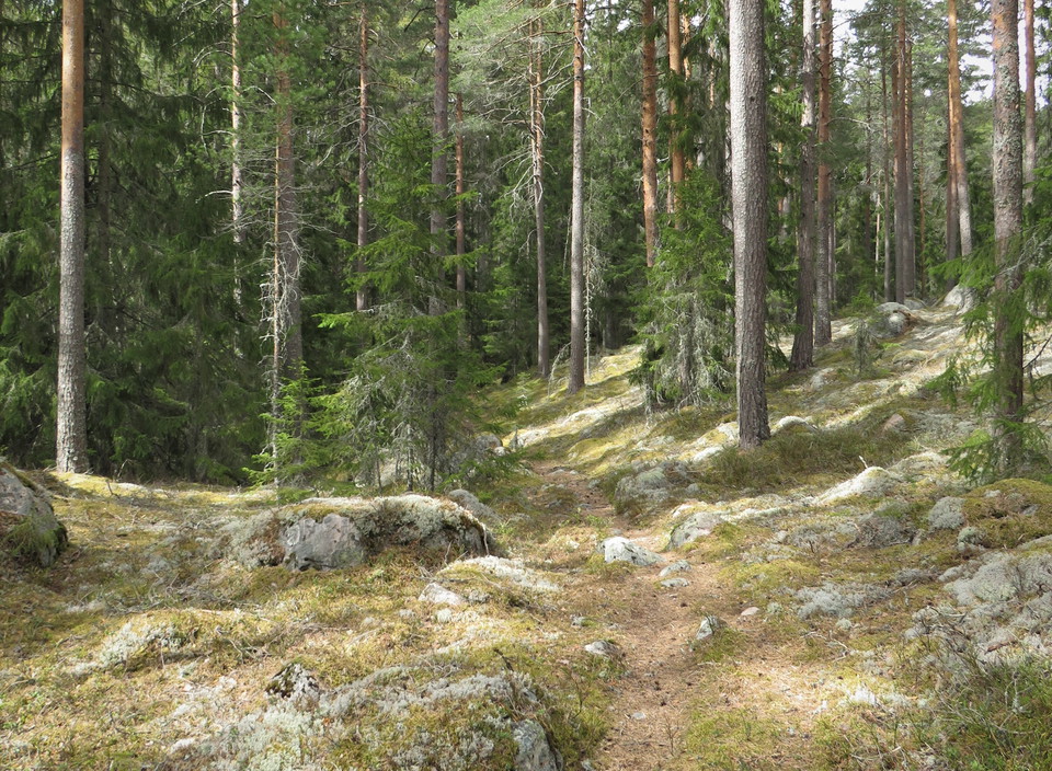
Utter-far's stone is a large moving block that has given its name to this hiking trail. Utter-father, or Erik Jansson Utter, was born in Marnäs in 1822 and died in Övertänger in 1905. Utter is probably a soldier's name because he was a soldier in his youth. Utter-father put a lot of work into the road at Utter-father's stone so that it would be suitable for timber transport at that time. The road/trail runs at an angle on a slope and he had to cold-mortar a road bank just beyond the characteristic stone that came to be called Utter-fars sten. The road/trail itself was called Utter-far's ditch.
The trail consists of two different circular loops that follow each other, connected by a common path. You can choose to walk only the short loop, which is about 1.8 km long, or add the long loop so the hike totals about 4 km. The trail is marked with orange color.
From the parking lot, follow the base road, which initially runs parallel to the car road, but turns off up a hill to the northwest. If you follow the base road for almost a kilometer, you will arrive at Utterfar's stone. About 20 - 30 meters after the stone comes a "four-way junction". If you want to walk the short loop, turn left and you are soon back to the parking lot again.
If you want to walk the long loop, you can take the path to the right and follow it for about 200 meters until the path splits again. Turn right and after about 500 meters turn left from the tractor road. This stretch of trail is newly drawn and after about 400 meters you come out on a base road. Turn left again and follow it for about 400 meters and you are back where the paths split. Then continue 200 meters to the four-way junction. Go straight ahead and follow the path that goes down a hill. To the right, towards the south, you can see the lake Stora Askakaren. Turn right where the path ends. 200 meters later you are back at the parking lot. The long hike is a little more hilly than the short one.
About 150 meters before the parking lot, i.e. closer to the highway, there is a small tractor road from the car road. If you enter it and turn immediately left up the hill, there is a nicely prepared shelter with barbecue facilities.
Aktiviteter og faciliteter
- Vandring
- Trail-løb
Tilgængelighed
- Parkering i nærheden
Rutevejledning
Go north on RV 50 to Övertänger. Just after Tängergården there is a sign Avskaksvägen on the left. Turn in and drive 350-400 meters until there is an old gravel pit on the right. Park in it.
Downloads
Kontakt
E-mailadresse
Kontaktcenter Falu kommun
Organisationens logotype

Jeg har været her 2

Jeg vil gerne derhen 5


Spørgsmål og svar
Stil et spørgsmål til andre Naturkartan-brugere.
Anmeldelser
0 anmeldelser
- 5 :
- 4 :
- 3 :
- 2 :
- 1 :
Brugernes billeder
Der er endnu ingen brugerbilleder. Vær den første til at dele et!
