


Töfsingdalen, Nationalpark
- Nationalpark
- Amt: Dalarnas län
Handlinger
Beskrivelse
Aktiviteter og faciliteter
- Nationalpark
Rutevejledning
The national park is located in Älvdalen municipality, in the middle of Långfjället nature reserve. Töfsingdalen is one of the most inaccessible environments we have in Sweden. There are no other ways to get there than by ski, on foot or by helicopter. In winter, however, it is possible to get to Hävlingen's fishing camp by snowmobile from Grövelsjön.
Entrance Hävlingen The most common way to enter the park is from Lake Hävlingen and the bridge over Storån at Särsjön. There is an information board about the park. From Grövelsjön's mountain station in the west, it is a 13 kilometer hike. It takes about 2½ hours to walk. From Idre to Grövelsjön mountain station, about 40 kilometers, it is about 40 minutes drive.
Entrance from Foskros A smaller gravel road follows Storån from Foskros to a shelter at Ängesildret. The road is quite bad, so the car must not have too low ground clearance. From there it is seven kilometers of fairly tough hiking to the national park boundary. There is an information sign at Hällsjöfors at the Långfjället nature reserve boundary.
Tips on parking lots The decimal coordinates below mark points where there is free parking. Parking Grövelsjön: 62.0966, 12.3231 Parking Hällesjövägen: 62.0912, 12.6436
Regler
Make sure not to:
- damage soil or natural geological features
- disturb animals and birds
- pick plants, break twigs or damage living or dead trees
- hunt or fish
- bring an unleashed dog
- drive a motorized vehicle
- make fires within 600 meters of Töfsingen or of lakes and watercourses from Storån upstream to Hävlingen
- camping or setting up windbreaks or similar devices within 600 meters of Töfsingen or from lakes and watercourses from Storån upstream to Hävlingen.
Kontakt
Adresse
E-mailadresse
Organisationens logotype

Jeg har været her 22



Jeg vil gerne derhen 87

















Anmeldelser
—
1 anmeldelse
- 5 :
- 4 :
- 3 :
- 2 :
- 1 :
Spørgsmål og svar
Stil et spørgsmål til andre Naturkartan-brugere.
Brugernes billeder
Del dine billeder fra stedet!

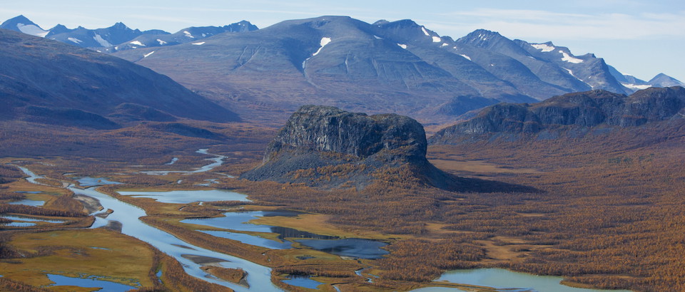



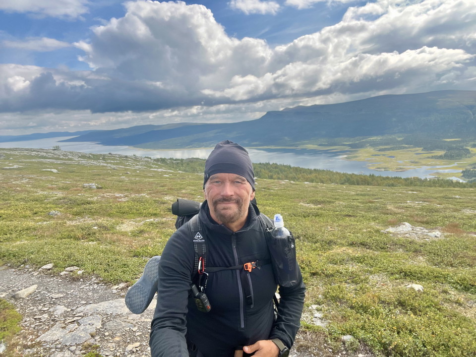
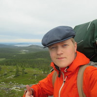
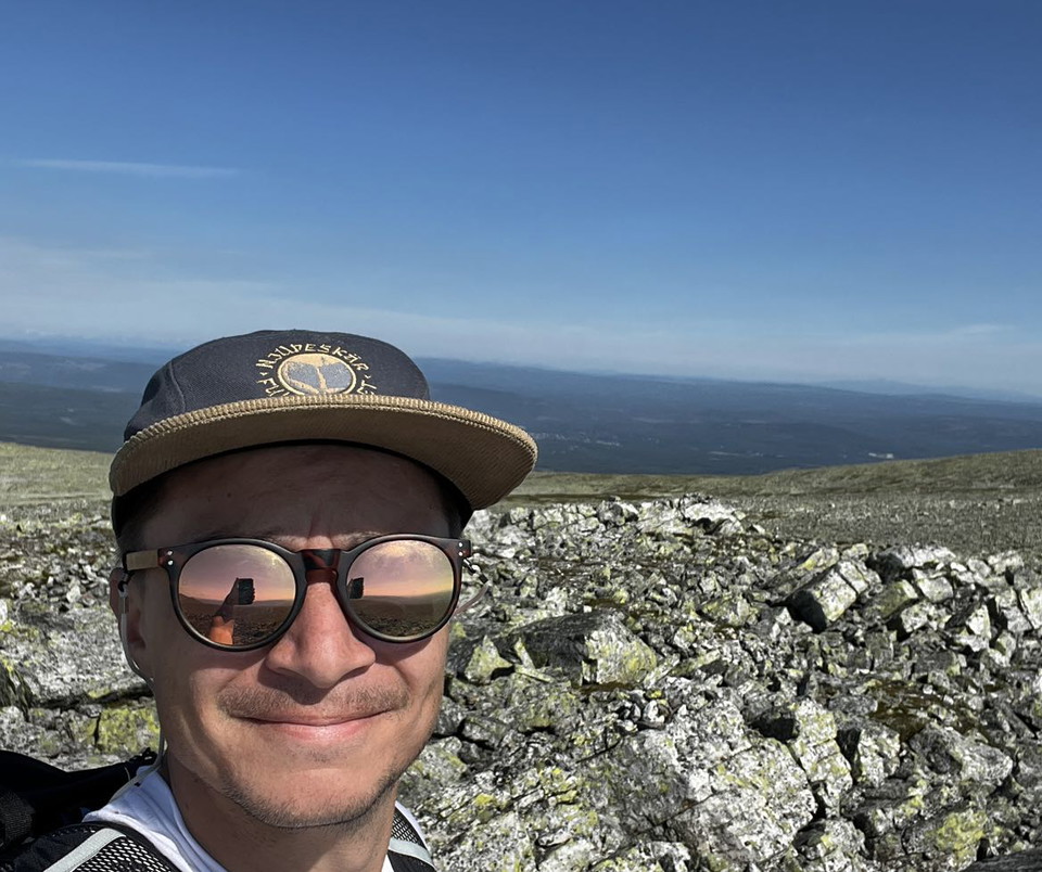
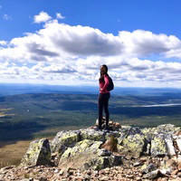
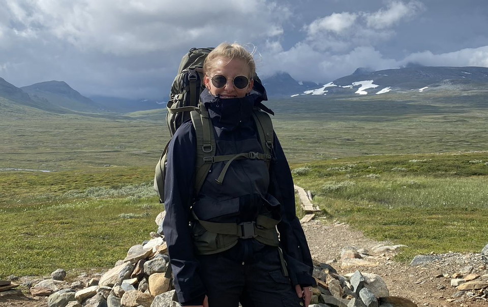
No trails, hard terrain. Day hike from Hävlingestugorna. Found huge tracks and poop of a bear. Wild.