
-
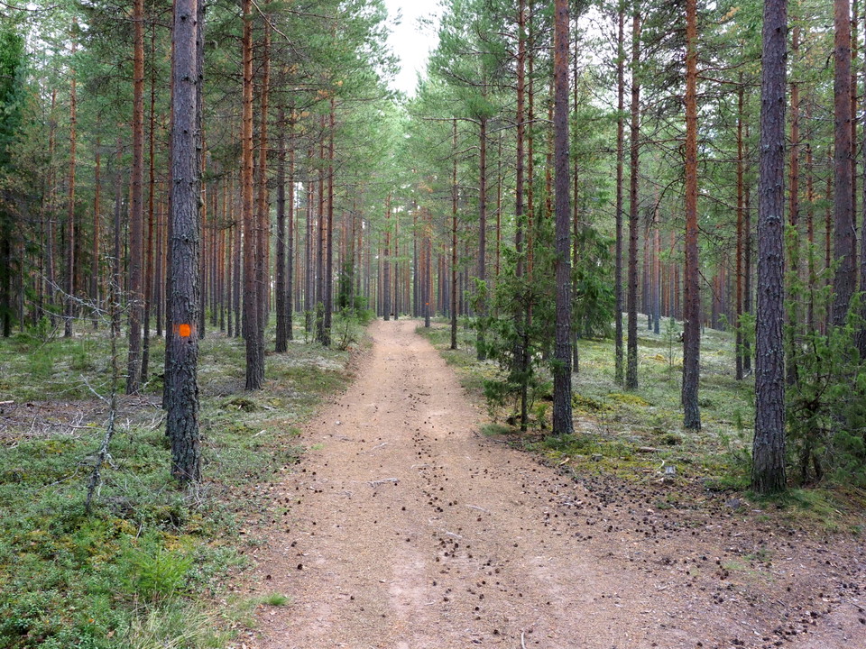
Tallhedsmark -
Stråtbäcken -
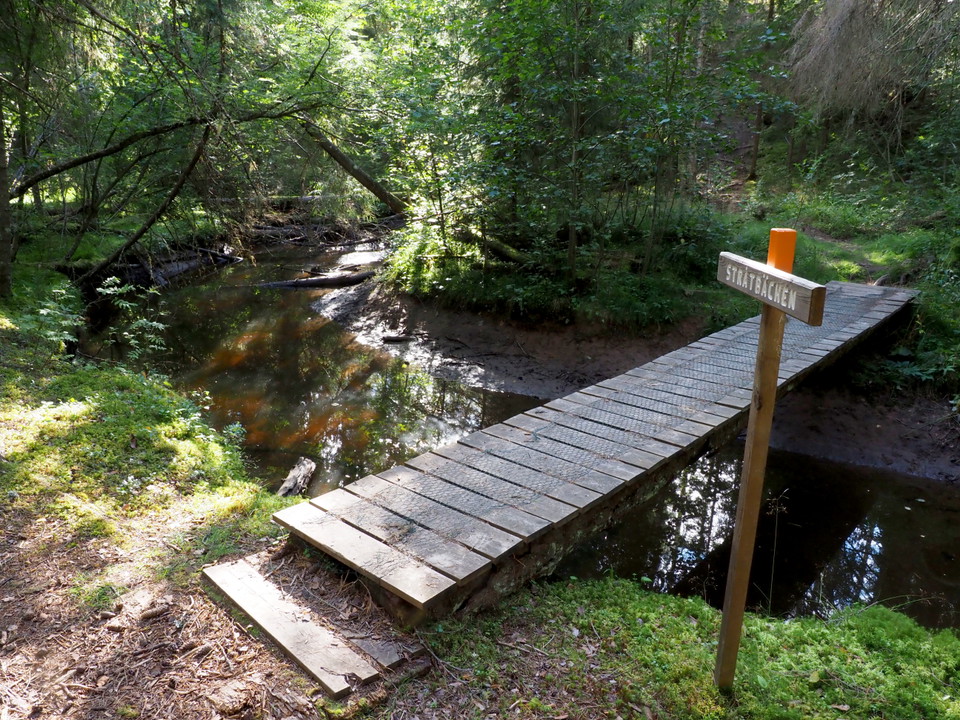
Stråtbäcken2 -
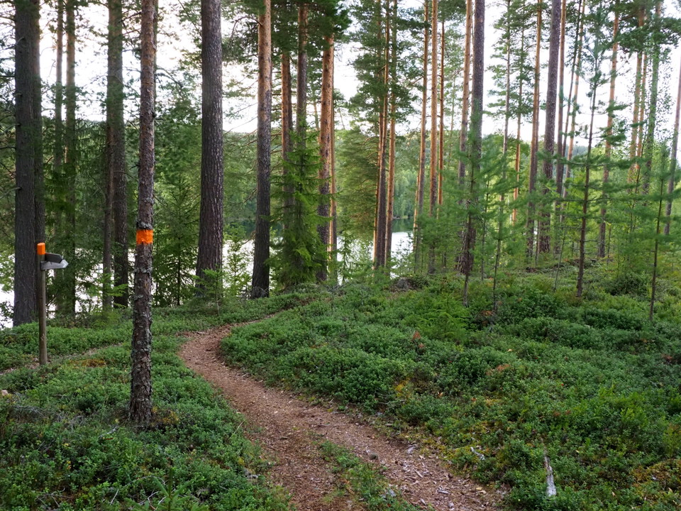
Vy över Österdalälven och bergen i väster
Ålheden, Tunsta-Ål-Kilen
- Vandring
- Parkering i nærheden
- Tæt på offentlig transport
- Amt: Dalarnas län
- 6618.06 km fra dig
Ruteoplysninger
- Længde 13.2 km
- Sværhedsgrad Blå – mellem
Handlinger
Beskrivelse
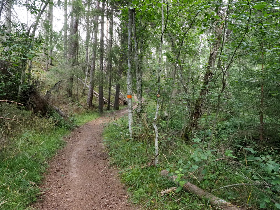
Paths and gravel roads on mainly dry pine heathland between Tunsta and Ål-Kilen. The whole round is 13.2 km but can be divided up. The northern turn Tunsta - "Genvägen" - Tunsta is 8 km and the southern turn Ål-kilen - "Genvägen" - Ål-Kilen 6.1 km. Many trails in the area also allow you to create your own alternatives. It is easy to walk on well-trodden paths with small differences in level, but when you cross Stråtbäcken it is really steep both up and down. Nice views of the river and the mountains to the west are available at several places along the way.
Aktiviteter og faciliteter
- Vandring
Tilgængelighed
- Parkering i nærheden
- Tæt på offentlig transport
Kontakt
Adresse
Telefon: 0247-80000
E-mailadresse
Kundtjänst
Organisationens logotype

Jeg har været her 9


Jeg vil gerne derhen 25


Spørgsmål og svar
Stil et spørgsmål til andre Naturkartan-brugere.
Anmeldelser
0 anmeldelser
- 5 :
- 4 :
- 3 :
- 2 :
- 1 :
Brugernes billeder
Der er endnu ingen brugerbilleder. Vær den første til at dele et!
