Hälsans stig - Bålsta
- Kommune: Håbo
- 6795.96 km fra dig
- 3.9 km
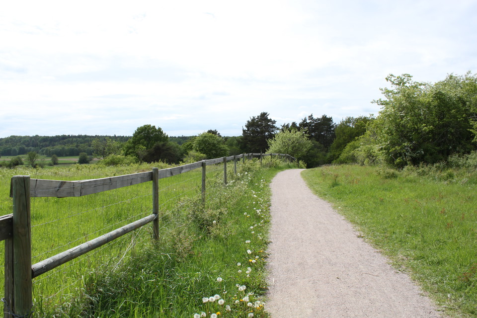
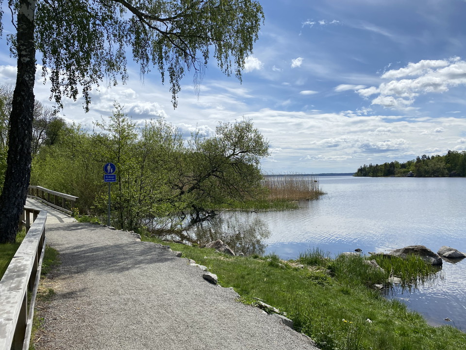
A walk in a varied environment around Upplandsleden and with Stockholmsvägen as an alternative route

Uppsala län
Naturkartan samlar de löpspåren i Uppsala län som är populärast bland våra användare.
A walk in a varied environment around Upplandsleden and with Stockholmsvägen as an alternative route
Röda stigen är 2,5 km lång och går i slinga från parkeringen mitt emot campingen, förbi smultronstället Östa stränder och nära badet vid campingen, ner mot Linsjön och tillbaka. Stigarna är lättgångna.
The Yellow Trail is 5 km long. You can access it from the parking lot opposite the campsite or the parking lot by the Stormossen bird tower.
From Skarholmen, along the entire Vårdsätraviken bay and further along Hågaån to Lurbo bridge there is a promenade. The entire promenade is accessible to everyone. This means that the surface and gradients work well for visitors with wheelchairs and prams.…
Nature area on the outskirts of Sävja, which is part of the Årike Fyris nature reserve. There are lighted trails, outdoor gym, bridle paths, Green Path for children and coffee tables.
Electrically lit exercise trail in Granåsen nature reserve, 2 km long. The trail is slightly hilly and goes through beautiful ridge forest. During the winter, the exercise trail is transformed into a groomed ski trail that is covered in snow thanks to a mod…
6 km long exercise trail in Näsboda outdoor area. Half of the trail is illuminated. All trails start from the parking lot in the far north.
Naturkartan samlar de löpspåren i Uppsala län som är populärast bland våra användare.