Rastplads

Stockholms län

Billeder

Kort

209 Rastplads

Rastplads

Rastplats Lillsjön

  • Kommune: Tyresö
  • 6852.44 km fra dig

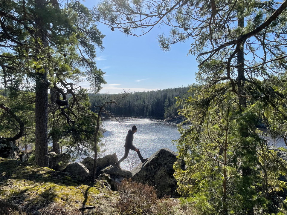
On the small headland by Lillsjön is this rest area with a prepared barbecue area. It is a popular place to eat your packed lunch. Firewood is available in the woodpile next to the path when you cross the bridge over Gammelström. The fire pit has no grate.…
Rastplads

Hejesjön

  • Kommune: Vaxholm
  • 6839.40 km fra dig

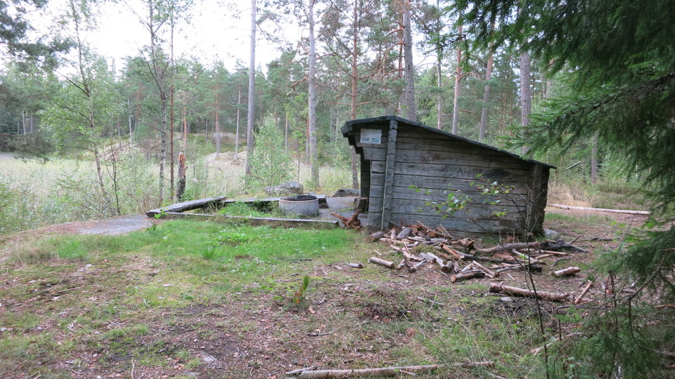
Lake Hejesjön is an overgrown pond lined with reeds and mosses. There is a picnic area here with a shelter and a grill. It can be reached from the Blue Trail ("Blå leden") and from the Dammstakärrundan trail on Bogesundslandet.

Rastplads

Rastplats Stickelsberg

  • Kommune: Värmdö
  • 6863.67 km fra dig

Sticklingsberg is an old execution site that was in use until 1827. Even today, the rock is fragile in the places where the executed were burned. The resting place is located on a hill with miles of views in clear weather.

Rastplads

Uteke såg

  • Kommune: Vaxholm
  • 6841.71 km fra dig

A picnic area north of the ruins of an old sawmill. There is a grill and a shelter here, as well as prepared firewood.

Rastplads

Utsikt från Kulberget

  • Kommune: Nacka
  • 6843.13 km fra dig

Up on Kulberget you are 45 meters above sea level below. No wonder the view is something special! It's also a scenic viewpoint. Choose whether you want to stand at the railing, sit down at a picnic area or lie on your back on the rocks. Did you know that it…

Rastplads

Rastplats Träsksjön

  • Kommune: Vaxholm
  • 6839.46 km fra dig

A picnic area with a grill and prepared firewood by Lake Träsksjön, a nice spot for watching waterfowl.

Rastplads

Rastplats, Eldgarnsö

  • Kommune: Ekerö
  • 6809.68 km fra dig

On the jetty next to the hiking trail there are several benches to sit down and have a coffee or just enjoy the view of Lake Mälaren. On the beach there is a fireplace where you can grill. Get firewood from the nearest wood store or bring your own.

Rastplads

Rastplats Sundbyberg

  • Kommune: Vaxholm
  • 6839.79 km fra dig

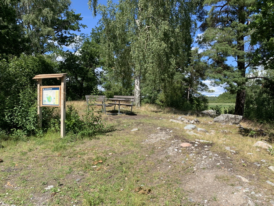
A picnic area by Bogesundsvägen road, with an informational sign and a map. You can get to the trail loop around the Dammstakärret wetlands, ("Dammstakärrundan") from here.

Rastplads

Rastplats Pålsundet

  • Kommune: Vaxholm
  • 6845.50 km fra dig

Since the 16th century, the Pålsundet sound has been protected from invasions by fortifications. Historically, along the sea route from Vaxholm to Stockholm, ships had to pass by rows of driven piles in order to reach the city. In the early 18th century, th…

Rastplads

Rastplats Ösby gravfält

  • Kommune: Värmdö
  • 6853.95 km fra dig

There is a nice picnic area with picnic tables on a headland next to the water. Right next to it is the Ösby burial ground where 3 burial mounds, 9 round graves and 3 square log graves have been found. The burial ground is from the Iron Age and has been a b…

Rastplads

Rastplats vid Knipskärs udde, Ådö-Lagnö

  • Kommune: Upplands-Bro
  • 6806.57 km fra dig

There is a picnic area for visitors to the Ådö-Lagnö nature reserve at Cape Knipskär. Here, you'll find a shady picnic table, great views of the water and a nice swimming spot. There is an informational sign about the reserve.

Rastplads

Rastplats nordöst om Frösvik

  • Kommune: Vaxholm
  • 6838.02 km fra dig

A picnic area near ancient ruins. There are places to park and an informational sign with a map. You can get to the Stortallsrundan trail loop and the Frösviksrundan trail loop from the parking lot.

Rastplads

Rastplats Knuts hav

  • Kommune: Värmdö
  • 6855.06 km fra dig

Rest area overlooking Knut's Sea

Naturkartan

Åbn dette i appen