Information

Stockholms län

Billeder

Kort

460 Information

Information

Naturum Nationalparkernas hus, Tyresta

  • Kommune: Haninge
  • 6854.59 km fra dig

Discover Tyresta and the country's other national parks at the Tyresta Visitor Center. Here you can not only get tips on hiking in Tyresta, but also be tempted by the dramatic beech forests of Söderåsen, or the vast, gentle mountains of Padjelanta. Bion's f…

Information

Erstavik: Entré Kranglan

  • Kommune: Nacka
  • 6843.90 km fra dig

The brick building Kranglan was built as a retirement home in 1910. The building has since been converted into housing. After the entrance signs marking the beginning of Erstaviksmarkerna, you meet a steep forest section. You can follow a road, or take the…

Information

Erstavik: Entré Solsidan

  • Kommune: Nacka
  • 6850.70 km fra dig

Near the entrance signs to the Erstavik area, Erstavik's mill road turns into a pedestrian and cycle path that is accessible even with a pram or walker. Keep your eyes open for the mighty remains of the dams up towards Dammsjön. They were part of a mill, wh…

Information

Lovö Kärsö - Informationsplats på Kärsön

  • Kommune: Ekerö
  • 6829.49 km fra dig

This is the information centre for Kärsön island and a good starting point for excursions there. There is an informational sign, a wheelchair-accessible outdoor dry toilet with a ramp and picnic table for a coffee break in the open air. A parking lot is loc…

Information

Erstavik: Entré Kolbotten

  • Kommune: Nacka
  • 6845.05 km fra dig

Här börjar Vita spåret, en 3 kilometers vandring till Snörom vid Ältavägen. En ganska kort led, alltså, men bitvis brant. Du går genom omväxlande skogs- och myrmarker och får en fin utsikt från höjden.

Information

Erstavik: Entré Tattby

  • Kommune: Nacka
  • 6849.46 km fra dig

This entrance to Erstavik is located on the shore of Dammsjön and near the golf club premises. Saltsjöbaden's "Quiet Walk" passes the site. To the Green Trail you have a few hundred meters walk. There is a restaurant at the golf club.

Information

Nyckellviken Entré Jarlaberg

  • Kommune: Nacka
  • 6843.13 km fra dig

From Jarlaberg you can walk, cycle or drive. Parking is available just a few meters down the road. From the entrance it is less than a kilometer and a half to the manor. It takes about 15 minutes to walk and five minutes to cycle.

Information

Infotavla i östra delen

  • Kommune: Stockholms stad
  • 6839.10 km fra dig

Information board in the eastern part in Swedish and English (information in English)

Information

Erstavik: Entré Kolarängen

  • Kommune: Nacka
  • 6846.32 km fra dig

Via the path that starts here, you can soon be at Sandasjön or Strålsjön - both fine bathing lakes. Or why not take a longer hike on Sörmlandsleden? A lot of charcoal has been produced in Erstaviksskogarna, hence the name Kolarängen. If you pay close attent…

Information

Entré Lovisedal Strålsjön-Erstavik

  • Kommune: Nacka
  • 6847.53 km fra dig

There are information boards and parking for a few cars at the road bridge over Erstaviksvägen. A beautiful and easily accessible pine forest then takes over. The ridge a bit in is part of Stockholmsåsen. Rocks that were ground down when the ridge was forme…

Information

Nyckelviken Entré Ektorp

  • Kommune: Nacka
  • 6844.03 km fra dig

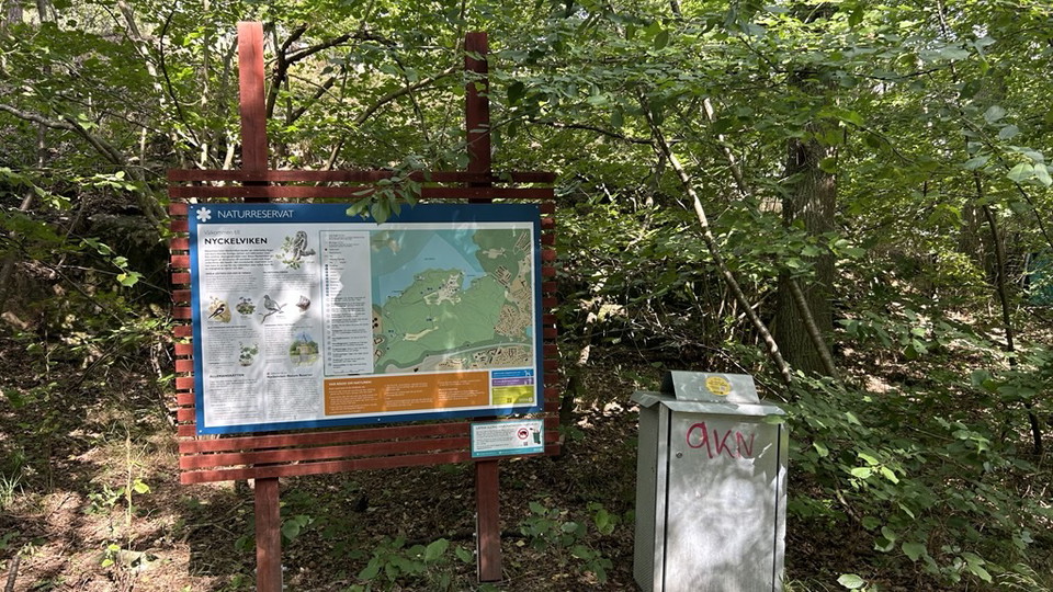
Here you will find an information sign and an orientation map that gives you an overview of Nyckelviken Nature Reserve. A red dot marks where in the reserve you are.

Information

Erstavik: Entré Drevinge

  • Kommune: Nacka
  • 6847.11 km fra dig

Once you have passed the viaduct under Saltsjöbadsleden, you are in a fertile valley where people have farmed the land since at least the Iron Age. On the slope to the right is a burial ground from that time and traces of the old Drevinge village. To the le…

Naturkartan

Åbn dette i appen