Bästa trailrunninglederna i Norrbottens län

Norrbottens län

Naturkartan samlar de trailrunninglederna i Norrbottens län som är populärast bland våra användare.

Billeder

Kort

26 Bästa trailrunninglederna i Norrbottens län

Trail-løb

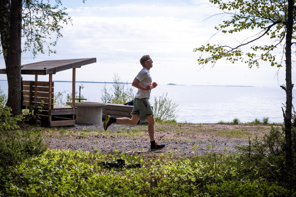
Kenkälahti Slingan

  • Kommune: Haparanda
  • 6.6 km
  • 2 t
  • Sværhedsgrad: Blå

Hike from old growth forest to coast The Kenkälahti trail shows Seskarö from all sides. Hike and run among tall pines and light forests, from the old-growth forest to the coast and sea. New surprises await around every corner as the trail winds its way to t…
Trail-løb

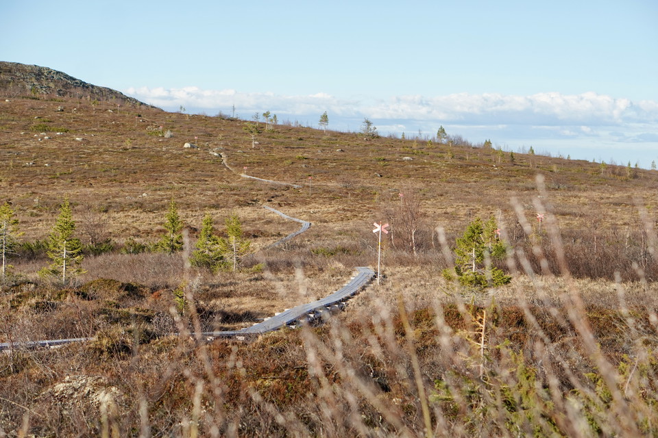
Topparna Runt

  • Kommune: Gällivare
  • 6508.75 km fra dig
  • 12.5 km
  • 2 t
  • Sværhedsgrad: Sort

Topparna Runt is a 12.5 km long trail that offers a challenging and natural experience at Dundret. The terrain is varied and offers both open mountain heaths, rocky paths, trails and technically demanding sections. The trail can be used in both directions a…

Trail-løb

Kraftlinjen

  • Kommune: Haparanda
  • 4.4 km
  • Sværhedsgrad: Blå

KRAFTLINJEN Perfekt slinga för en löptur för dig som gillar springa och i skog och mark. Terrängen är öppet och en blandning mellan skogsvägar och stigar. Håll ögonen öppen för bär, svamp och älgar. Här hittar du alla guldkorn av Seskarös natur.

Trail-løb

Kelvavallen

  • Kommune: Gällivare
  • 6506.78 km fra dig
  • 4.0 km
  • 1 t
  • Sværhedsgrad: Rød

This 4 km trail takes you from Porjusvägen up to Hebrotoppen via the historic Kelvavallen area. The trail starts in the forest landscape and winds through varied terrain, past the old homestead where hay was cut in the 1960s and a cold spring bubbles freshl…

Vandring

Tre Vikar

  • Kommune: Haparanda
  • 12.1 km

Three Vicars Purple marking A hike that takes you past Seskaro's finest bays and sandy beaches. The northern part of the hike takes you straight between Tromsöviken in the east and Temmilahti in the west. The southern part is a stone's throw from the sea th…

Vandring

Grelsbyberget grön led 4,4-4,8 km

  • Kommune: Överkalix
  • 6641.43 km fra dig
  • 4.4 km

Grelsbyberget Mountain is one of the real gems of Överkalix – not only because its nearness to the community makes it easy to reach, but also because of the highly diverse nature, the stunning views and all the lovely spots you can find. There are hikingtra…

Vandring

Grelsbyberget röd led 2,2 km

  • Kommune: Överkalix
  • 6641.43 km fra dig
  • 2.2 km

Grelsbyberget Mountain is one of the real gems of Överkalix – not only because its nearness to the community makes it easy to reach, but also because of the highly diverse nature, the stunning views and all the lovely spots you can find. There are hikingtra…

Udsigtspunkt

Brännabergets utsiktsplats

  • Kommune: Överkalix
  • 6642.33 km fra dig

The mountain is situated near central Överkalix and when you reach the summit you can gaze at the stunning views of Överkalix, the Kalix River, Tallviksavan, Ängesån and all the other mountains surrounding you. During the 1960s a wooden outdoors dance floor…

Vandring

Grelsbyberget gul led 1,6 km

  • Kommune: Överkalix
  • 1.6 km

Grelsbyberget Mountain is one of the real gems of Överkalix – not only because its nearness to the community makes it easy to reach, but also because of the highly diverse nature, the stunning views and all the lovely spots you can find. There are hikingtra…

Løb

Hälsoslingan - Abborrtjärn (Nuortajärvi)

  • Kommune: Gällivare
  • 6513.44 km fra dig
  • 2.4 km
  • Sværhedsgrad: Blå

Almost midway between Gällivare, Malmberget and Koskuskulle is Abborrtjärn, also called Nuortajärvi. There are nice paths in the area around the lake, a blue and a red health trail where the blue is easiest to walk. Feel free to stop occasionally to listen…

Løb

Långa Lassaspåret

  • Kommune: Gällivare
  • 6514.77 km fra dig
  • 4.5 km
  • 30 min
  • Sværhedsgrad: Blå

Bästa trailrunninglederna i Norrbottens län

Naturkartan samlar de trailrunninglederna i Norrbottens län som är populärast bland våra användare.

Naturkartan

Åbn dette i appen