Bästa vandringslederna i Blekinge län

Blekinge län

Naturkartan samlar de vandringslederna i Blekinge län som är populärast bland våra användare.

Billeder

Kort

221 Bästa vandringslederna i Blekinge län

Vandring

Eriksbergsleden

  • Kommune: Karlshamn
  • 6859.34 km fra dig
  • 12.2 km
  • Sværhedsgrad: Rød

Eriksbergsleden Eriksbergsleden er en af de smukkeste og mest udfordrende vandreruter i Blekinge. Den byder på fantastiske udsigter over kysten og havet. Undervejs passerer du ege-, bøg- og fyrreskove. Stien løber tæt på Eriksberg Vildt- og Naturpark, og da…
Vandring

Vandringsrunda Svalemålaleden

  • Kommune: Ronneby
  • 6864.42 km fra dig
  • 6.3 km

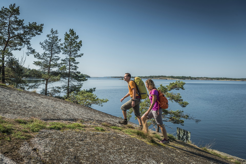
A varied route, this walk takes you through pasture, broadleaf woodland and across rocky ground with amazing views out across the archipelago. The trail is marked in rainbow paint on posts and partly follows the Blekingeleden Trail. Check the app to make su…

Vandring

Vandringsrundor Skärvaleden & Nättrabyleden

  • Kommune: Karlskrona
  • 6887.31 km fra dig
  • 13.5 km
  • Sværhedsgrad: Blå

Varied circuits through forest, along the coast, along the beautiful Nättrabyån river and past housing, passing Skärva Gård, Skärva Herrgård, Nättraby church. The whole circuit without detours (see map) is 12 km, Skärvaleden on its own is 5 km. The trail is…

Vandring

Blåmarkerad vandringsled

  • Kommune: Ronneby
  • 6877.39 km fra dig
  • 7.2 km

A walk through a beautiful coastal landscape, in the summer accompanied by grazing cows. Wander through broadleaf woodland in the south, along the coast in the west and through pine woods in the north. Picnic and barbecue spots along the route (see map). Th…

Vandring

Vandringsrundor Stärnö-Boöns naturreservat

  • Kommune: Karlshamn
  • 6853.19 km fra dig
  • 7.7 km

Easily accessible trails through the Sternö-Boön nature reserve with several circuits to choose from. “Stärnö runt” is about 4.5 km and there is a shorter child-friendly version too (with signs). The circular walks offer stunning views of the sea and the is…

Vandring

Vandringsrunda Tromtöleden

  • Kommune: Ronneby
  • 6885.61 km fra dig
  • 4.5 km
  • Sværhedsgrad: Grøn

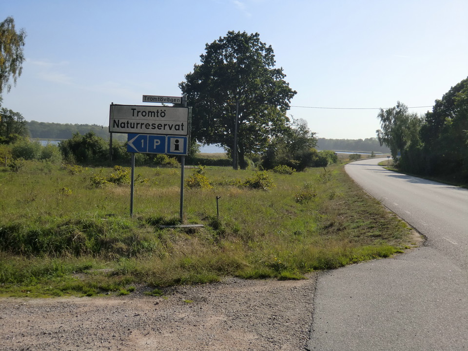
A circular walk in the Tromtö nature reserve running through woodland, meadows and pasture with ancient oak trees. There are places to stop and barbecue along the water’s edge on the unmarked “Strandstigen” (shore path, see map) and in the far east at Tumma…

Vandring

Vandringsrunda Järnavik – "Kamrastigen"

  • Kommune: Ronneby
  • 6862.97 km fra dig
  • 2.8 km

A pleasant walk on the rocky shore and paths which takes about an hour at a normal pace. Lovely coastal environment with broadleaf woodland and excellent sea views in places. There are barbecue areas on the route (see map). Markings on red posts, sometimes…

Vandring

Almöleden, Almö naturreservat

  • Kommune: Ronneby
  • 6884.20 km fra dig
  • 8.3 km

A popular route, more of a trail than a circular walk, that takes you through Almö nature reserve. Nearest to the mainland in the northern part of the nature reserve there is attractive pasture land with oak trees and leafy broadleaf woodland while to the s…

Vandring

Vandringsrunda Knösö

  • Kommune: Karlskrona
  • 6895.99 km fra dig
  • 2.4 km

A beautiful walk with sea views. The trail runs through the lovely Knösö nature reserve with oaks and juniper in a hilly landscape grazed by sheep. Barbecue area in the southern part of the trail (see map). The path is mostly marked with orange posts and so…

Vandring

Vandringsrunda Wämöleden

  • Kommune: Karlskrona
  • 6890.65 km fra dig
  • 10.1 km
  • Sværhedsgrad: Grøn

Wämöleden is a walk that runs round the whole island of Wämö through houses, along the water’s edge and through wooded sections. The walk is well-signposted and marked in orange on trees and posts. It is accessible with pushchairs, rollators and electric wh…

Vandring

01 Sölvesborg - Grundsjön | Blekingeleden

  • Kommune: Sölvesborg
  • 6840.25 km fra dig
  • 14.2 km
  • Sværhedsgrad: Grøn

The Blekingeleden Trail runs from the edge of the sea in Sölvesborg deep into the beechwoods on the ridges of Ryssberget with fantastic views over the drained lake Vesan to the east. Walk along pleasant forested paths as the light filters through the leaves…

Vandring

09 Järnavik - Ronneby Brunn | Blekingeleden

  • Kommune: Ronneby
  • 6864.46 km fra dig
  • 21.1 km
  • Sværhedsgrad: Blå

From Järnavik Blekingeleden meanders down the coast back towards the forested landscape via open farmland around Väby, to the Vierydsån river, Torneryd and straight into Ronneby Brunnspark. A historic walk through a coastal landscape between the sea, the fo…

Vandring

13 Mörtsjöåsen - Älmtasjön|Blekingeleden

  • Kommune: Karlskrona
  • 6891.29 km fra dig
  • 8.4 km
  • Sværhedsgrad: Blå

This lake-filled section from Mörtsjöåsen to Älmtasjön runs through a number of large lakes and smaller bodies of water in a rolling landscape with classic mixed woodland. Just south of Stora Åsjön the Bastasjöleden trail joins Blekingeleden from the south.…

Vandring

08 Persgärde - Järnavik | Blekingeleden

  • Kommune: Ronneby
  • 6854.72 km fra dig
  • 15.1 km
  • Sværhedsgrad: Blå

Starting in Persgärde, follow the valley south through Törneryd with the sea far off on the horizon. This section takes you from the delightful lakes inland to the bare rock on the shoreline. Järnavik is one of Blekinge’s most popular harbours and one of th…

Vandring

07 Långasjönäs - Persgärde | Blekingeleden

  • Kommune: Karlshamn
  • 6848.98 km fra dig
  • 14.2 km
  • Sværhedsgrad: Blå

Through a forested landscape of meandering lakes and rivers, the trail starts to head towards the sea. From the beautiful bays of Bruksgylet lake in Nötabråne round to the plummeting depths of the Gamslebäcken river and the wetlands between the two Kroksjö…

Bästa vandringslederna i Blekinge län

Naturkartan samlar de vandringslederna i Blekinge län som är populärast bland våra användare.

Naturkartan

Åbn dette i appen