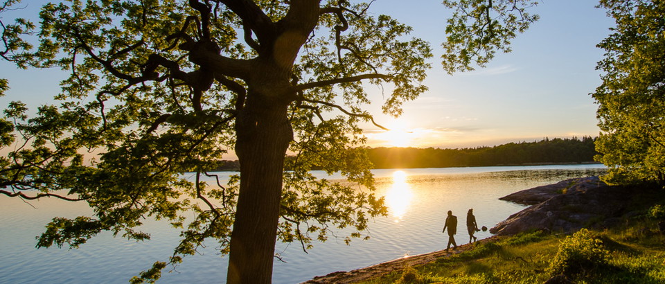
• Bokskog
    Foto: Robert Ekholm
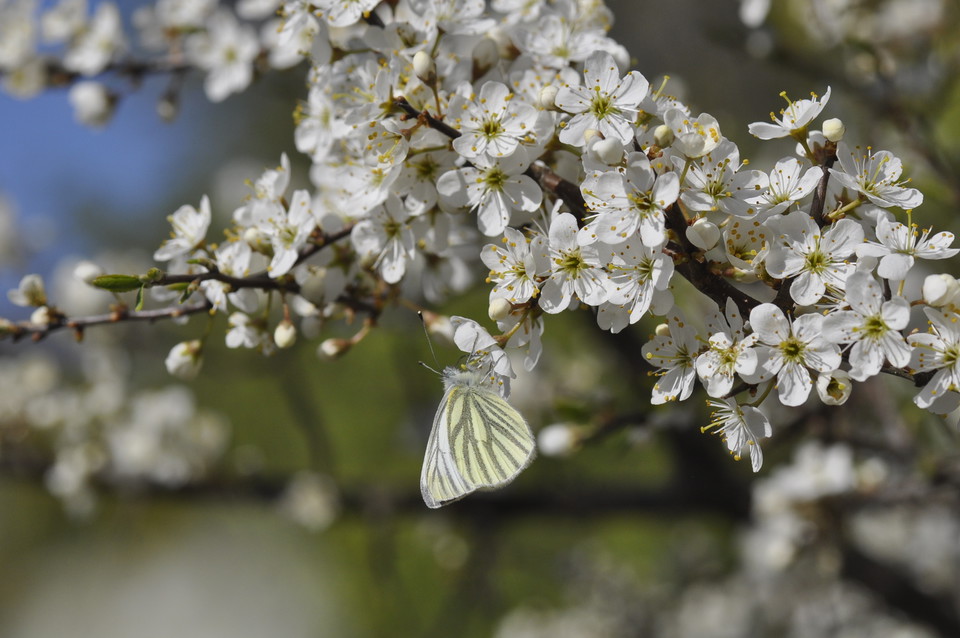
  • Rapsfjäril på slån
    Foto: Robert Ekholm
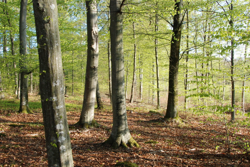
  • Bokskog som slår ut
    Foto: Robert Ekholm

Moabacken, Naturreservat

  • Naturreservat
ud af 5 stjerner

Handlinger

Beskrivelse

The Moabacken nature reserve is an easily accessible nature reserve close to urban areas that mainly contains old broadleaf forest.

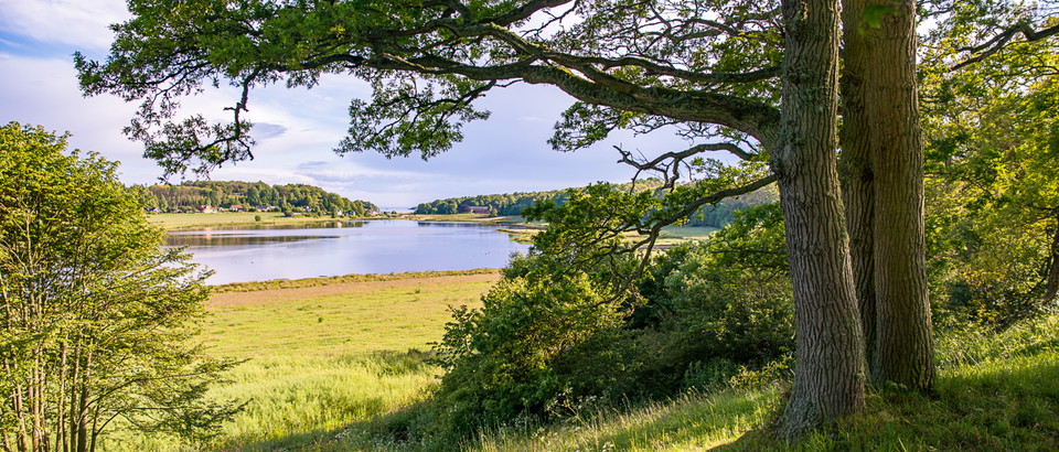
Rift valleys and deciduous forest

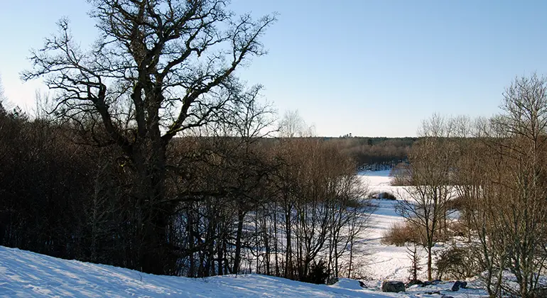
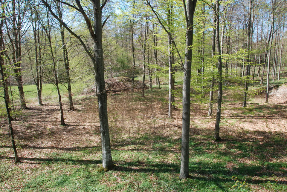
The nature reserve is located in a rift valley landscape with forested heights and valley bottoms with arable land. About 70% of the reserve consists of deciduous forest with mainly old beech and oak. There is a good supply of dead wood in both shady and sunny locations. The area contains a number of known red-listed species, especially lichens and fungi.

The nature reserve also contains cultural-historical values in the form of ancient remains (graves and stone circles from the Bronze Age-Iron Age) and cultural-historical traces such as croft ruins, stone walls and old dirt roads. The proximity to Kallinge means that the area has great recreational value.

Vejrudsigt (kl. 12.00)

Indlæser...

Kom hertil med offentlig transport

Aktiviteter og faciliteter

  • Naturreservat

Fakta

Year of protection: 2012

Municipality: Ronneby

Character: Deciduous forest, rift valley, ancient remains

Area: 90 hectares

Landowners: Private and Ronneby municipality

Manager: Blekinge County Administrative Board

Form of protection: Nature reserve

Rutevejledning

The nature reserve is located immediately west of Kallinge, between the community and highway 27. From the parking lot, at Västervägen, a path leads into the reserve.

Regler

You are welcome to visit Moabacken, but please note that it is not allowed to

  • damage the ground
  • destroy or damage fixed natural objects or surface formations
  • Damage stone walls, cairns or other cultural-historical remains
  • unduly disturb wildlife
  • damage growing or dead trees and bushes, or vegetation in general
  • pick mosses, lichens or wood-living fungi, other than what is reasonably necessary for species identification
  • carry an unleashed dog other than for hunting
  • riding or cycling other than on roads within the area
  • camping or setting up a caravan or motor home
  • make a fire other than in a specially prepared barbecue area
  • use disposable barbecues
  • capture and collect invertebrates in such a way as to damage or destroy their biotopes or reproductive habitats.

Without permission from the county administrative board, you may not

  • conduct scientific research involving sampling or installation of equipment
  • use the area for competitions or exercises that may disturb nature or the public's outdoor life - does not apply to flying activities at the airfield in Kallinge
  • put up a board, poster, poster, sign, signpost, inscription or similar device.

Kontakt

E-mailadresse

Länsstyrelsen Blekinge

blekinge@lansstyrelsen.se

Jeg har været her 4

Jeg vil gerne derhen 1

Spørgsmål og svar

Stil et spørgsmål til andre Naturkartan-brugere.

Anmeldelser

0 anmeldelser

ud af 5 stjerner

5 :
0.0%
4 :
0.0%
3 :
0.0%
2 :
0.0%
1 :
0.0%

Brugernes billeder

Der er endnu ingen brugerbilleder. Vær den første til at dele et!
Naturkartan

Åbn dette i appen