
-
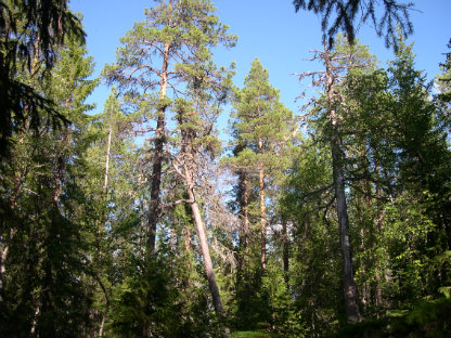
Zdjęcie: Per-Anders Blomqvist -
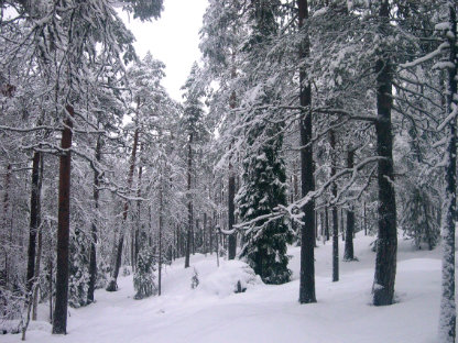
Zdjęcie: Per-Anders Blomqvist
Lill-Skorvliden
- Rezerwat przyrody
- Województwo: Västerbottens län
Akcje
Opis
The reserve rises from the banks of the Ume River up to 410 meters above sea level and consists of the southern, western and eastern slopes of the mountain. The forest on the mountain consists of a, often quite dense, coniferous mixed natural forest dominated by spruce on the northern slope, while pine dominates on the western and southern slopes. The whole area is clearly affected by fire and there is plenty of charred dead wood and trees with fire scars.
Działania i udogodnienia
- Rezerwat przyrody
Wskazówki dojazdu
The reserve is located about 20 km northwest of Lycksele, along road E 12.
Kontakt
Adres e-mail
Länsstyrelsen Västerbotten
Logotyp organizacji

Należy pamiętać, że niektóre z tych tekstów zostały przetłumaczone automatycznie.
Byłam tu 1

Chcę tu iść 1

Pytania i Odpowiedzi
Zadaj pytanie innym użytkownikom Naturkartan.
Opinie
0 recenzji
- 5 :
- 4 :
- 3 :
- 2 :
- 1 :
Zdjęcia użytkowników
Nie ma jeszcze żadnych zdjęć użytkowników. Bądź pierwszym, który je udostępni!
