
Olsjöns Kyrkstig
- Wędrówki piesze
- Archeologiczny
- Szlak kulturowy
- Województwo: Dalarnas län
Szczegóły dotyczące szlaku
- Długość 9.0 km
- Czas 3 h
- Trudność Czerwony - wymagający
Akcje
Opis
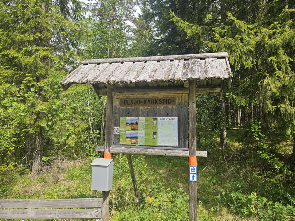
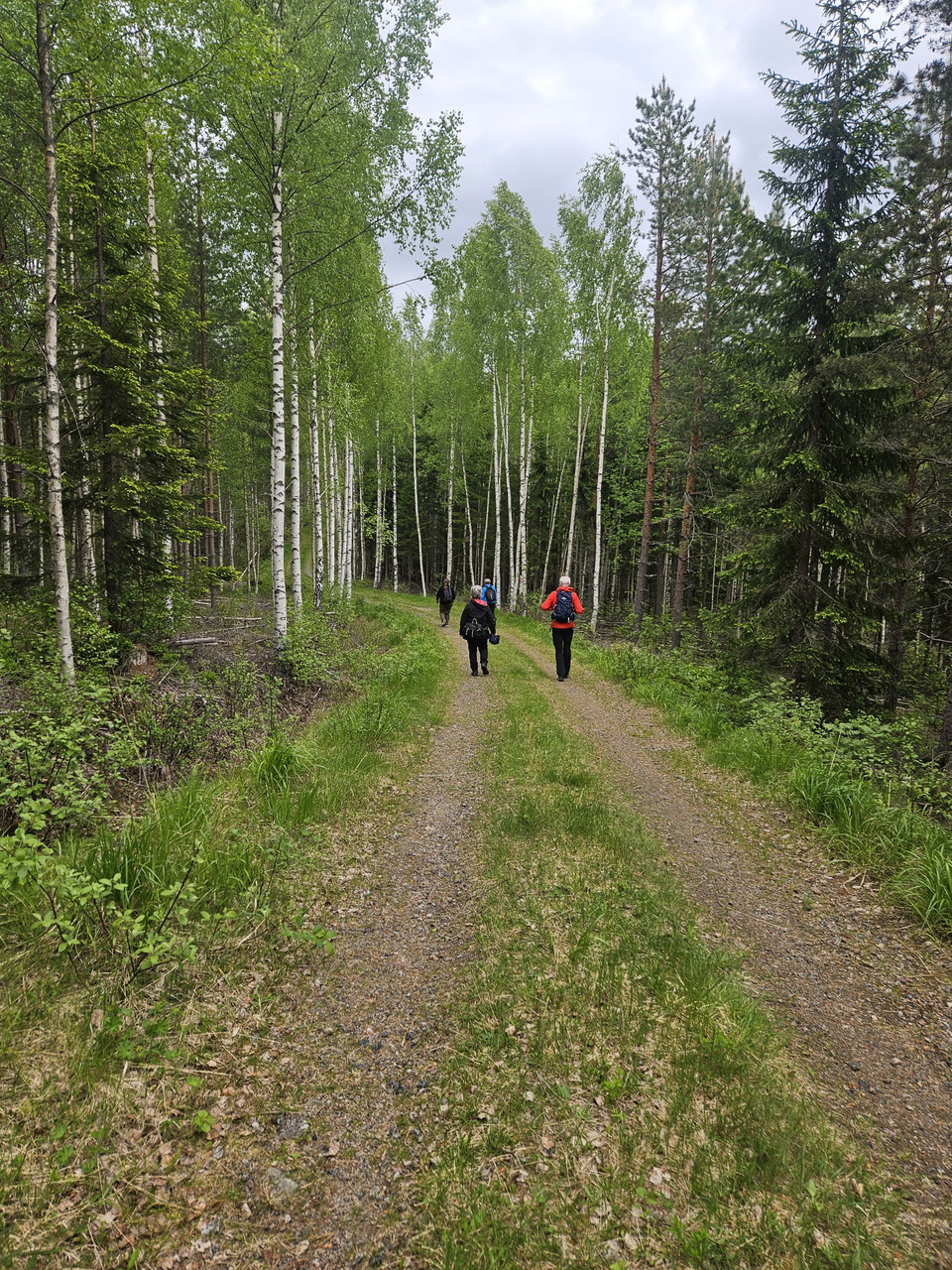
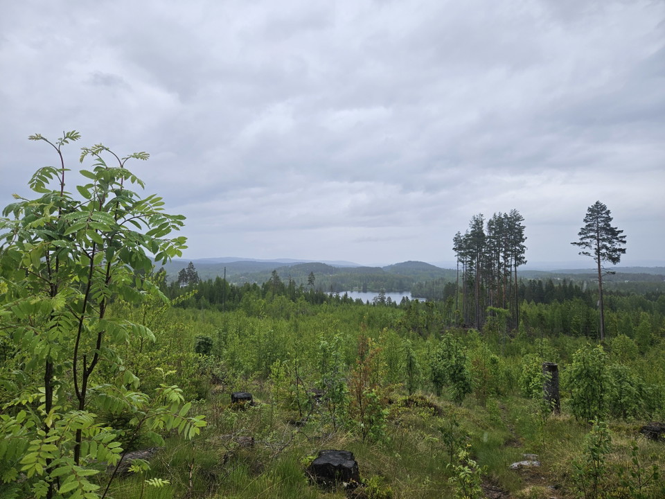
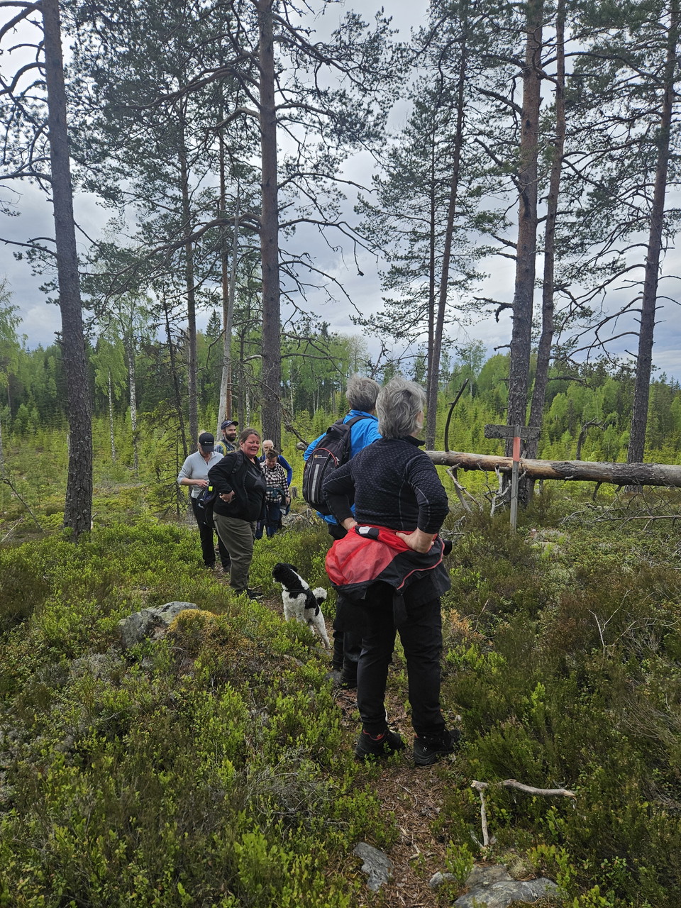
Discover the beautiful Olsjö Church Trail, a 9‑kilometre hiking path between the forest village of Olsjön and Broby in Sunnansjö. The trail follows the route that churchgoers once used to travel from Olsjön to Grangärde Church.
There are benches at several rest stops, and numerous information boards describe the route and its history. The trail can be walked in both directions and has an elevation change of 150 metres.
In the past, there were many active summer farms in the area. To bring the milk home, daily contact with the main farm was necessary, and people used the church trail for this purpose.
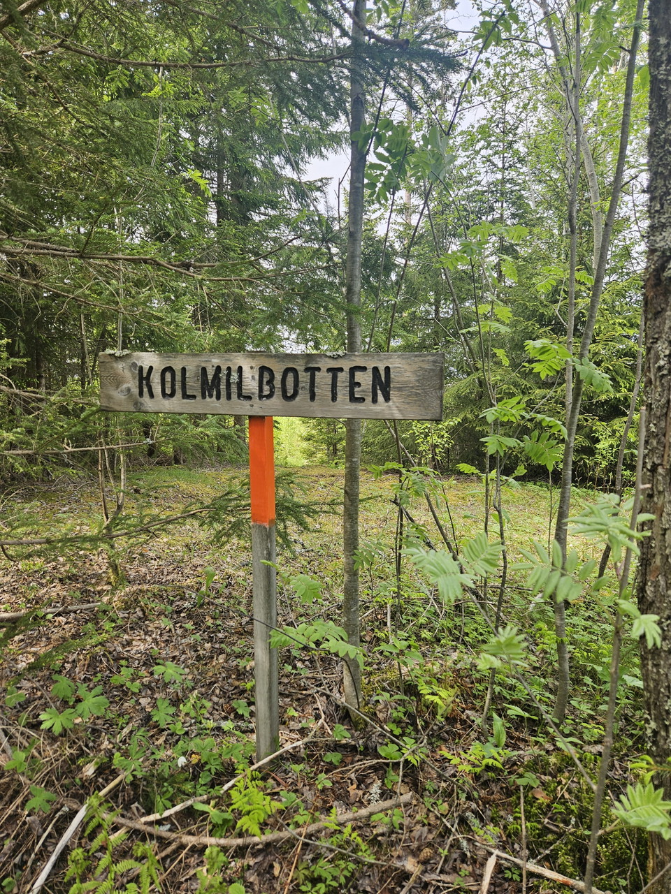
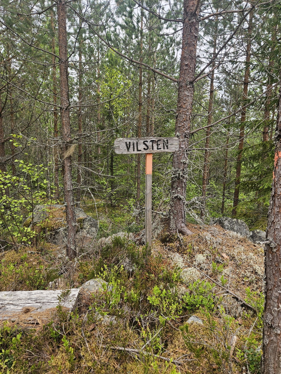
Trail marking: Orange markings.
Starting points: Olsjön or Sunnansjö.
Działania i udogodnienia
- Wędrówki piesze
- Archeologiczny
- Szlak kulturowy
Byłam tu
Chcę tu iść
Pytania i Odpowiedzi
Zadaj pytanie innym użytkownikom Naturkartan.
Opinie
0 reviews
- 5 :
- 4 :
- 3 :
- 2 :
- 1 :
Zdjęcia użytkowników
Nie ma jeszcze żadnych zdjęć użytkowników. Bądź pierwszym, który je udostępni!
