Bästa vandringslederna i Hultsfred

Hultsfred

Naturkartan samlar de vandringslederna i Hultsfred som är populärast bland våra användare.

Zdjęcia

Mapa

45 Bästa vandringslederna i Hultsfred

Wędrówki piesze

14. Officersdass

  • Gmina: Hultsfred
  • 6830.06 km od Ciebie

Funkcjonariusze mieli bardzo duży sekretny dom o nazwie Blombacka i wciąż tam są. Zgodnie z przepisami, żaden oficer nie mógł opuścić obszaru wokół targów i Trianon - odcięty tlenem szytym - bez szabry. Przepis ten był bardzo trudny dla oficerów, kiedy musi…
Wędrówki piesze

15. Lägerboden

  • Gmina: Hultsfred
  • 6830.13 km od Ciebie

Kamper został zbudowany w połowie 1870 roku. Należał do korpusu funkcjonariuszy i wynajmował je każdemu handlowi w okolicy. Tutaj pancerz mógłby kupić ubrania, czapki, tytoń, snus, karmel i wiele więcej. Budynek i okolice były znane jako Bellevue - oficerow…

Wędrówki piesze

16. Officerskasernen

  • Gmina: Hultsfred
  • 6830.14 km od Ciebie

The building was added in 1864 and was two and a half storeys high. As the number of officers increased, two wings were built. After the extension, the barracks had 40 rooms. A violent fire on October 10, 1913 destroyed the officers' barracks. Some of the m…

Wędrówki piesze

18. Arresten

  • Gmina: Hultsfred
  • 6830.11 km od Ciebie

Już w 1830 roku na równinie była sala aresztowań. Nowy areszt został zbudowany w 1888 roku i miał numer 21. Jeśli aresztowano zbroję, powiedziano, że siedział na "dwudziestce". " Zatrzymanie telewizji i szpitala Dom miał siedem aresztowań, z których dwa zos…

Wędrówki piesze

19. Gevärssmedjan

  • Gmina: Hultsfred
  • 6830.22 km od Ciebie

Strzelec był czymś, czego pułk nie mógł przegapić. Tam, gdzie pierwsza kochanka była niska, nikt nie wie, ale w 1874 roku został sprzedany na aukcji 100 bagnetowych karabinów szermierczych przez starszy model w środkowej strzelby. Środek strzelby został uko…

Wędrówki piesze

20. Nöjenas dal

  • Gmina: Hultsfred
  • 6830.25 km od Ciebie

Teren był punktem spotkań podczas imprez rozrywkowych zbroi. Tutaj, sprzedawcy musieli ustawić swoje karuzele i towarzysza cyrku ich namioty. Ale najpierw musisz mieć stan szefa pułku i, co do zasady, dostałeś go na wielkie festiwale ludowe na równinie. Cme…

Wędrówki piesze

Lönnebergaleden LB1 - Eckerhult - Kvarntorpet - En del av Smålandsleden

  • Gmina: Hultsfred
  • 14.1 km
  • Trudność: Niebieski

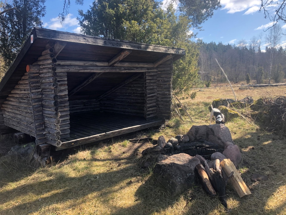
This stage offers a wonderful combination of nature, history, and the chance to relax by the water. Just before Igelhult and at Björnuddviken, there are great spots to take a break. Here you’ll find a wind shelter, a fire pit, a dry toilet, and a place to s…

Wędrówki piesze

Lönnebergaleden etapp LB2 - Kvarntorpet - Visböle - En del av Smålandsleden

  • Gmina: Hultsfred
  • 10.5 km
  • Trudność: Niebieski

On this stage, you’ll travel from Kvarntorpet to Visböle, or you can choose to turn off at Hästhagsgölen and head down to Hultsfred. You’ll pass Siselkällan, a spring that has been used as an emergency water source during several droughts and has never run…

Wędrówki piesze

Lönnebergaleden etapp LB3 - Visböle - Gisseskalle - En del av Smålandsleden

  • Gmina: Hultsfred
  • 11.3 km
  • Trudność: Czerwony

Along this stretch, you’ll pass Broastenen, a site that tells part of the area’s history. The trail then continues over a boulder ridge, a remnant of the Ice Age that gives the landscape its distinctive character. There are a total of three wind shelters al…

Wędrówki piesze

Lönnebergaleden etapp LB4 - Gisseskalle - Lönneberga - En del av Smålandsleden

  • Gmina: Hultsfred
  • 14.7 km
  • Trudność: Czerwony

From Gisseskalle, the trail continues through a beautiful and varied Småland landscape with several spots well worth a stop. Gisseskalle is a hill offering panoramic views, 234 meters above sea level and about 100 meters above Lake Gissen. From here, you’ll…

Wędrówki piesze

Lönnebergaleden etapp LB 5 Lönneberga - Järnemåla - En del av Smålandsleden

  • Gmina: Hultsfred
  • 12.0 km
  • Trudność: Niebieski

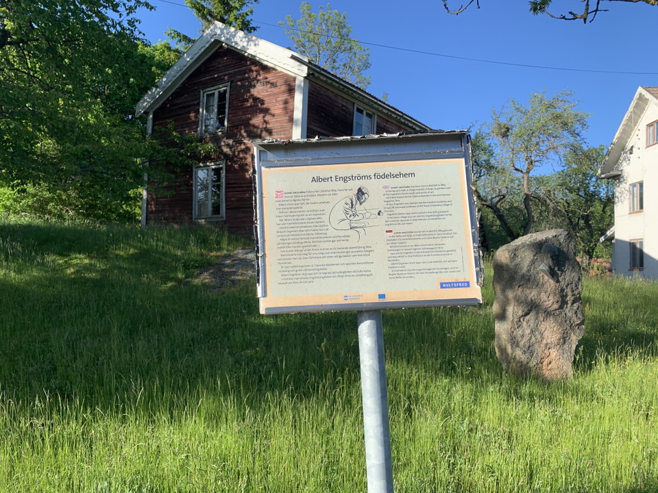
Along this stretch, you’ll pass Albert Engström’s birthplace in Bäckefall and Lammerhatten, a well-known nature area and a 210-meter-high hill. If you take a detour to Lönneberga, you’ll see a beautiful wooden statue of Emil in his carpenter’s shed, created…

Wędrówki piesze

Lönnebergaleden etapp LB6 - Hästhagsgölen - Hultsfred - En del av Smålandsleden

  • Gmina: Hultsfred
  • 10.6 km
  • Trudność: Niebieski

At Hästhagsgölen, head toward Hultsfred. You’ll pass through a few small villages and make your way to downtown Hultsfred along trails and wider forest roads. At Hästhagsgölen, head toward Hultsfred. You’ll pass through a few small villages and make your wa…

Wędrówki piesze

Lönnebergaleden etapp LB7 - Hultsfred - Lönneberga - En del av Smålandsleden

  • Gmina: Hultsfred
  • 11.9 km
  • Trudność: Niebieski

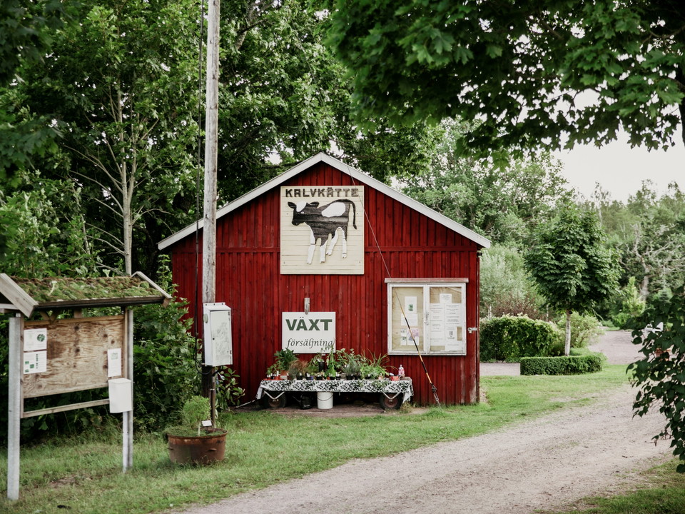
From downtown Hultsfred, the trail continues past the Hagadal Swimming and Sports Center and through the beautiful Kalvkätte Garden. You then leave the built-up area behind and continue along forest trails through a peaceful and varied landscape. Along the…

Wędrówki piesze

Emilleden etapp EL1 Filmbyn - Åkarp - En del av Smålandsleden

  • Gmina: Hultsfred
  • 18.2 km
  • Trudność: Niebieski

This stage of the Emilleden trail offers a wonderful blend of cultural history and Småland’s natural beauty. We recommend starting at the Mariannelund & Hässleby Local History Museum, beautifully situated on an oak-covered hill. Here you’ll find several his…

Wędrówki piesze

Emilleden etapp EL2 Åkarp-Filmbyn - En del av Smålandsleden

  • Gmina: Hultsfred
  • 19.6 km
  • Trudność: Niebieski

This stage offers fascinating cultural history and stories about people and places that have left their mark on the region. At the local heritage farm, beautifully situated on an oak-covered hill, you can see several historic buildings and the famous stone-…

Bästa vandringslederna i Hultsfred

Naturkartan samlar de vandringslederna i Hultsfred som är populärast bland våra användare.

Naturkartan

Otwórz to w aplikacji