
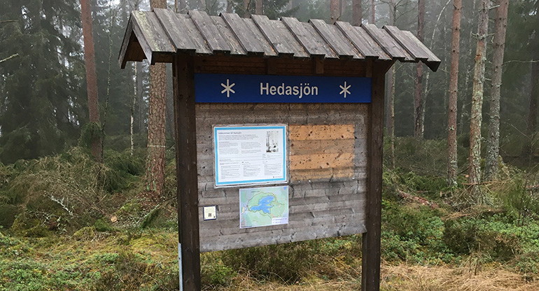
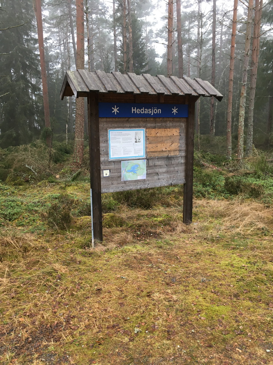
Hedasjön, Naturreservat
- Rezerwat przyrody
- Województwo: Kronobergs län
Akcje
Opis
Działania i udogodnienia
- Rezerwat przyrody
Fakty
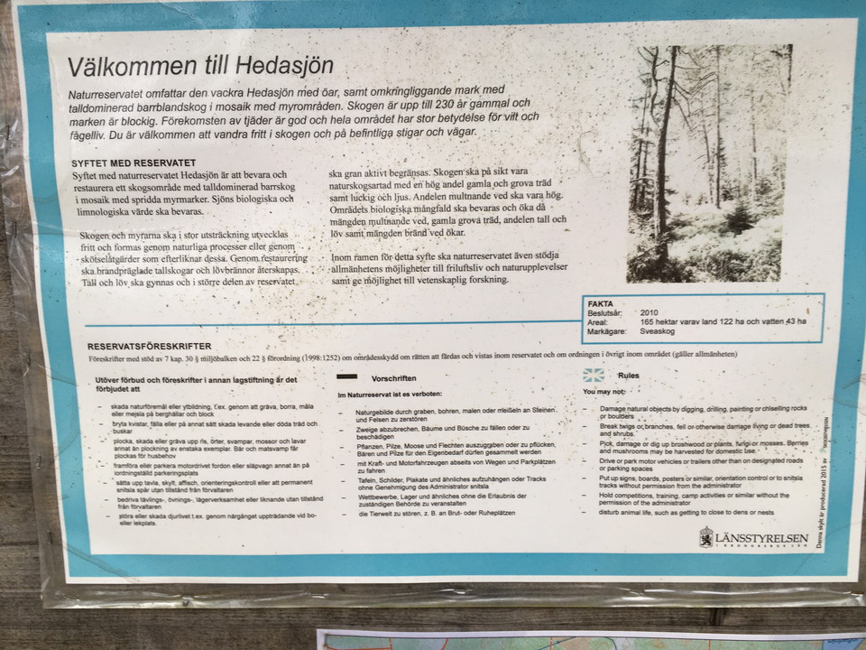
- Rok ochrony: * * 2010
- Rok ochrony: * * 2010
- Areal: * * 165 ha
- Areal: * * 165 ha
- Character: * * Tall- dominujący las i mrówki
- Character: * * Tall- dominujący las i mrówki
/ Gmina:
Właściciel: * * Sveaskog AB
- Administrator: * * County Administrative Board of Kronoberg
- Administrator: * * County Administrative Board of Kronoberg
Parking
W łazience (mały, niebieski znak) znajdują się możliwości parkowania.
Wskazówki dojazdu
Hedasjön jest blisko granicy z gminą Lessebo. Najłatwiej dotrzeć do obszaru drogą z Herråkra - Bergdala. Z tego żółtego znaku przeciwko Kylleskruvowi. Na północ od miejscowości Heda prowadzi na wschód od jeziora Heda mniejszy żwir.
Regulamin
You are welcome to visit the nature reserve, but please note that it is not allowed to:
- damage natural objects or surface formations, for example by digging, drilling, painting or chiseling on rocks and boulders
- break branches, fell or otherwise damage living or dead trees and shrubs
- picking, damaging or digging up rice, herbs, mushrooms, mosses and lichens other than picking individual specimens. Berries and edible mushrooms may be picked for domestic use
- drive or park a motorized vehicle or trailer other than in a designated parking space
- set up a board, sign, poster, orienteering control or permanently mark out trails without permission from the manager
- conduct competitions, exercises, camps or similar activities without permission from the manager
- disturbing or harming wildlife, for example, by approaching a nest or playground.
Measures for scientific research that have been approved in advance by the County Administrative Board are excluded from these regulations.
Other legislation on what you can do in the forest and land also applies in the nature reserve.
Kontakt
Adres e-mail
Należy pamiętać, że niektóre z tych tekstów zostały przetłumaczone automatycznie.
Byłam tu 5

Chcę tu iść 3
Opinie
—
1 recenzja
- 5 :
- 4 :
- 3 :
- 2 :
- 1 :
Pytania i Odpowiedzi
Zadaj pytanie innym użytkownikom Naturkartan.
Zdjęcia użytkowników
Udostępnij swoje zdjęcia tego miejsca!

Vandringsleden på 4,5km är avstängd pga. att de höjt sjön 0,5m. Får vända efter ca 4km då hela leden var under vatten 50m. Det gick inte att gå runt det.