Stockholms län

Publiczny transport wodny

Mapa

8 Publiczny transport wodny

Wejście

Ängsö nationalpark - huvudentré

  • Gmina: Norrtälje
  • 6853.98 km od Ciebie

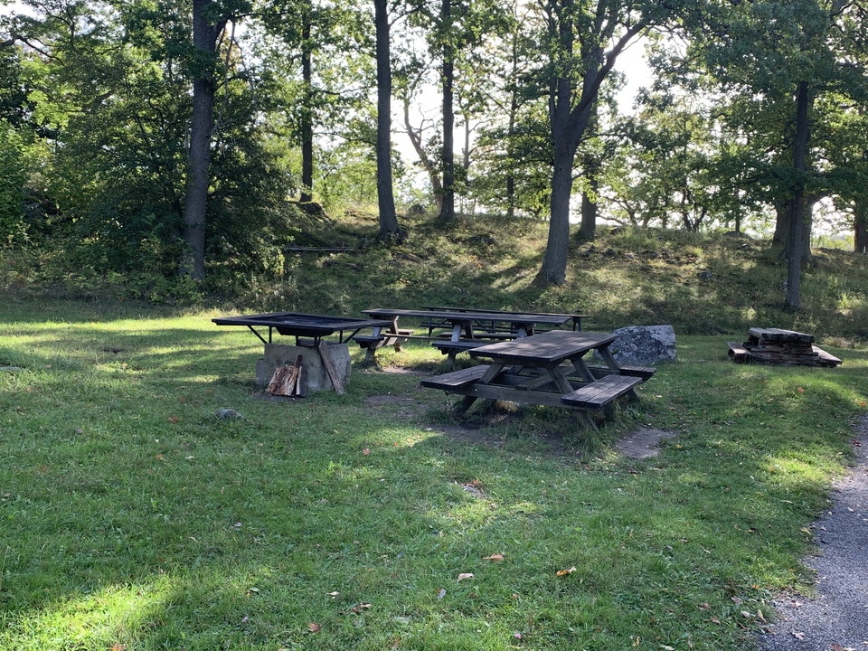
The entrance to the national park is located at the southern end of the island. The ferry stops here during spring and summer. There's a paved trail from the dock to the entrance. By the entrance, there is a wheel-chair accessible picnic area with a fire pi…
Publiczny transport wodny

Bryggan på Bullerö

  • Gmina: Värmdö
  • 6882.56 km od Ciebie

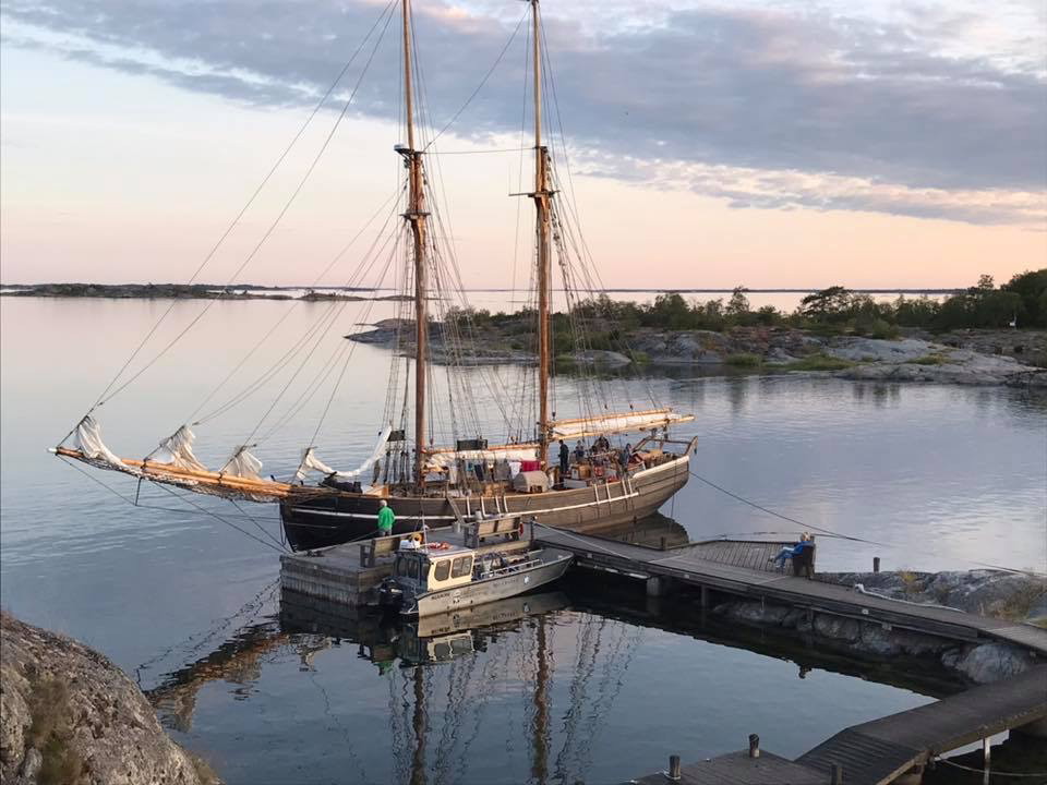
Turboats dotrzeć na most w Hemviken na południowo-zachodniej stronie Bullerö. W pobliżu znajduje się kabina odpoczynku, pensjonat, miejsce namiotu i muzeum. Most jest przeznaczony przede wszystkim dla pracowników i przedsiębiorców, ale spódnice i statki szk…

Publiczny transport wodny

Ängsö nationalpark - brygga för reguljär turbåtstrafik

  • Gmina: Norrtälje
  • 6854.05 km od Ciebie

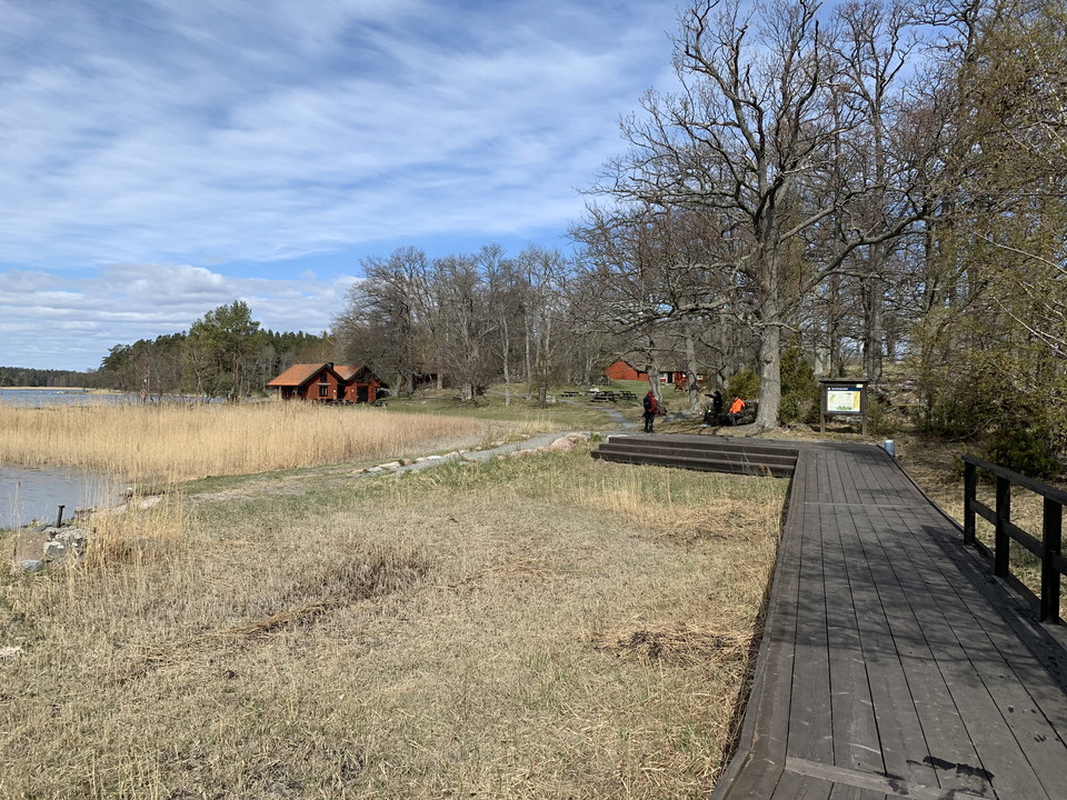
Ängsö National Park can only be reached by boat. Ferries from Stockholm and Furusund operate to/from this pier. From here, there is a paved path towards the cottage. Along the trail by the bay, you'll find a large picnic area with a grill, informational sig…

Przystań żeglarska

Norrhamns gästhamn, Öja-Landsort

  • Gmina: Nynäshamn
  • 6859.13 km od Ciebie

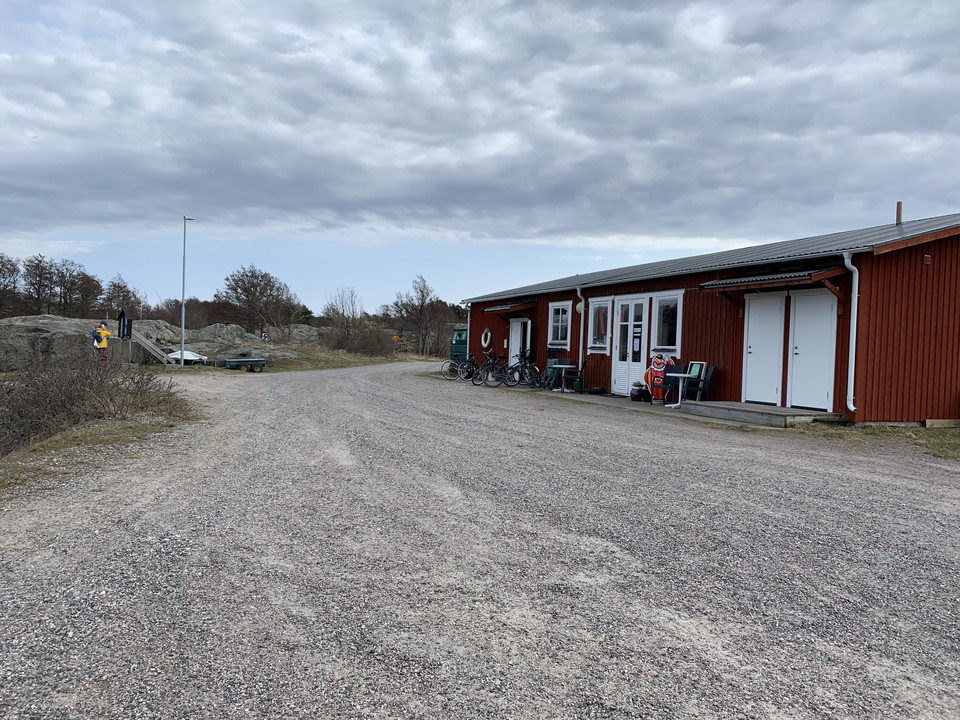
W porcie gościnnym Norrhamn znajduje się wypożyczalnia kabin, wypożyczalnia rowerów i kawiarnia, a także wodociąg. Należy pamiętać, że woda pitna jest niedostatkiem na wyspie, należy jej używać ostrożnie. Ziemia jest szlifowana lub brukowana.

Publiczny transport wodny

Österhamn, Öja-Landsort

  • Gmina: Nynäshamn
  • 6861.07 km od Ciebie

A pier with ferries to the island. From Ankarudden on the mainland, ferries operate between three harbours on Öja-Landsort—Västerhamn, Österhamn and Norrhamn—and they can stop at any one of these harbours depending on weather conditions. An information boar…

Publiczny transport wodny

Västerhamn, Öja-Landsort

  • Gmina: Nynäshamn
  • 6860.87 km od Ciebie

A pier with ferries to the island. From Ankarudden on the mainland, ferries operate between three harbours on Öja-Landsort—Västerhamn, Österhamn and Norrhamn—and they can stop at any one of these harbours depending on weather conditions. An information boar…

Publiczny transport wodny

Pendelbåt, Frösvik brygga

  • Gmina: Vaxholm
  • 6837.07 km od Ciebie

Łódź dopływu SL obsługuje ten most. Bieżące linie i harmonogramy można znaleźć na stronie SL: [sl.se] (https: / / sl.se /)

Naturkartan

Otwórz to w aplikacji