Länsstyrelsen Västmanlands län
Välkommen till Västmanlands vackra natur!
Användare av Naturkartans app för Android rapporterar i sommar att appen är seg mm. Vi rekommenderar att man raderar appen helt från sin telefon i så fall och laddar ned igen! Då skall den fungera bättre. Den befintliga appen skall ersättas av en ny app efter sommaren. Den gamla appen laddar all data för hela landet lokalt i appen (för att klara offline-läge) men det innebär att den blir för stor för vissa telefoner - då behöver den raderas och laddas ned igen!

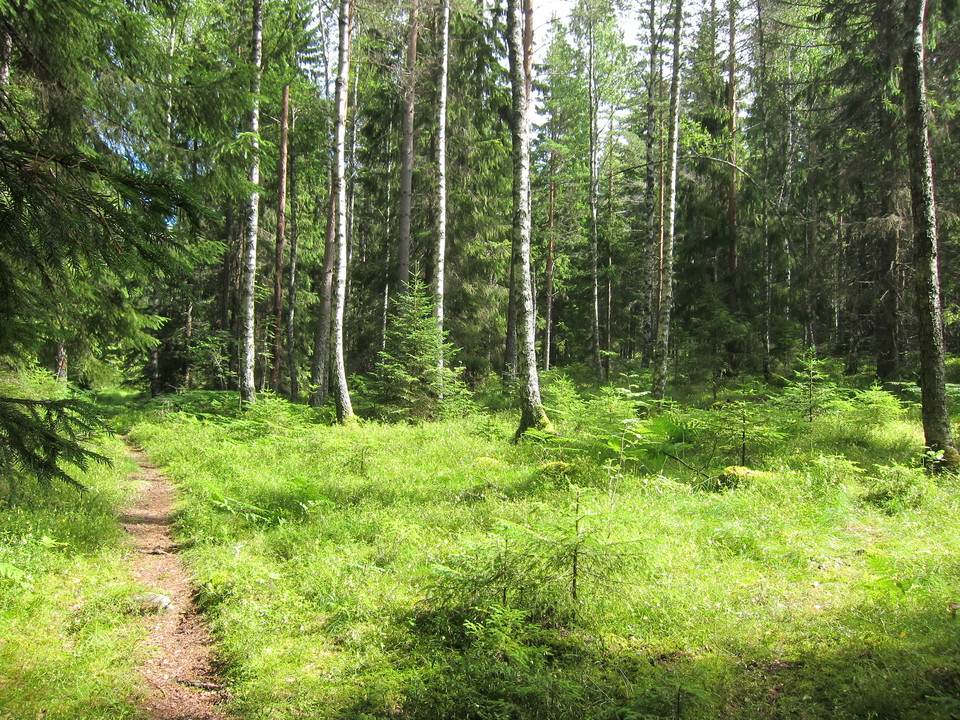
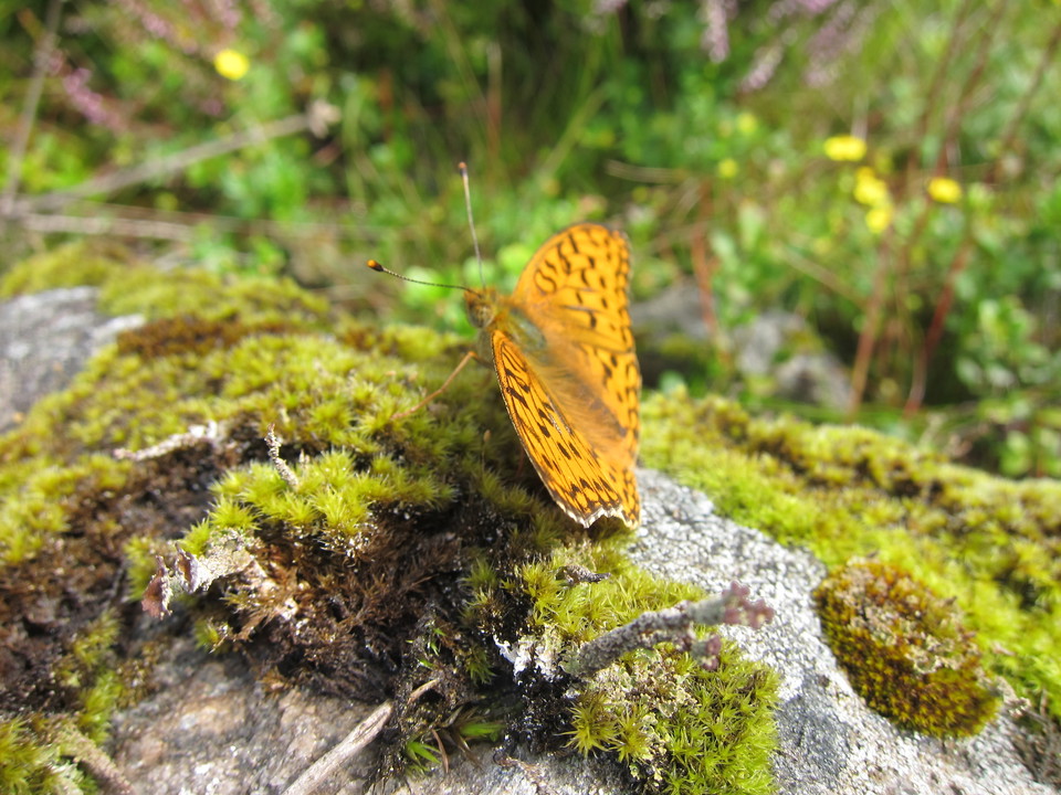
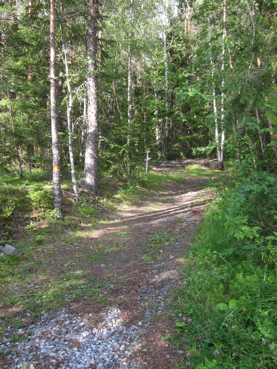
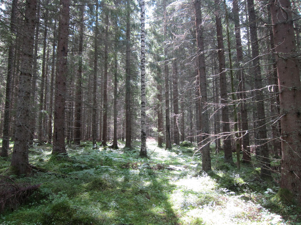
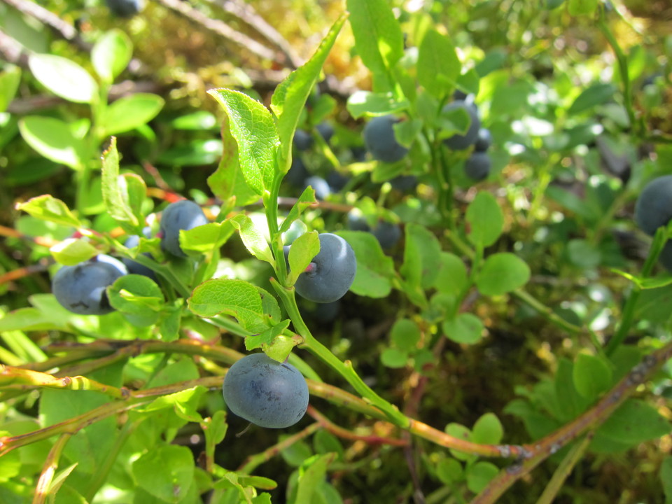
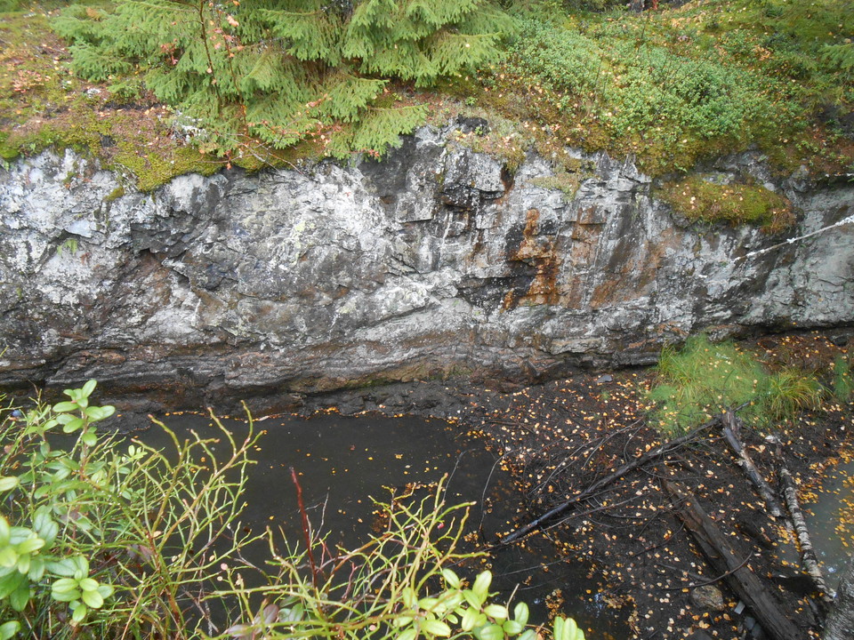
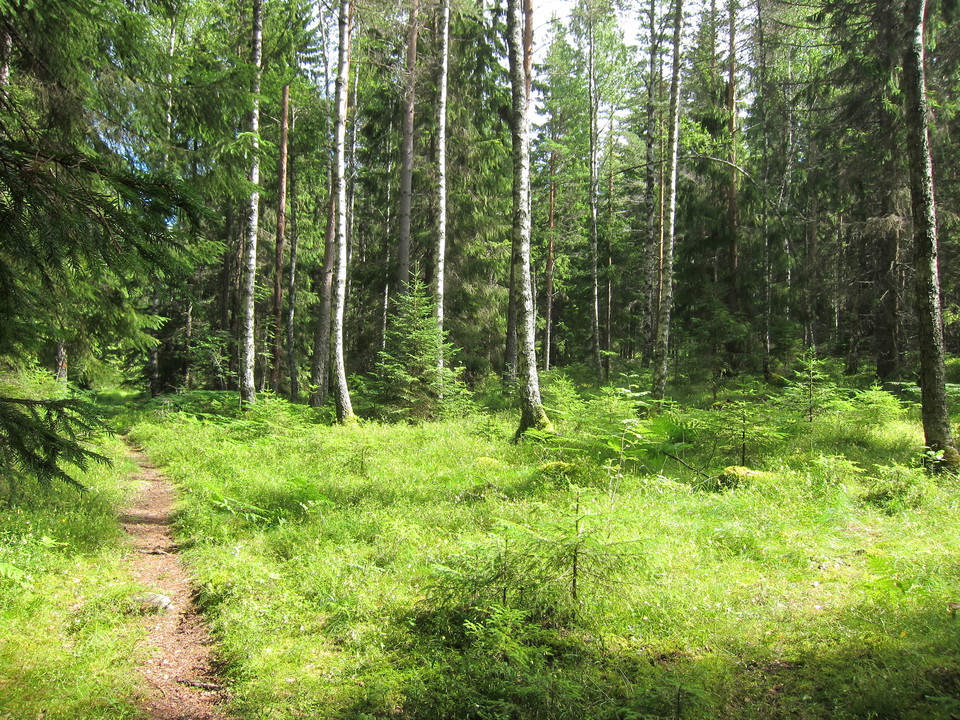
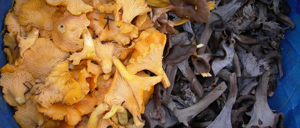
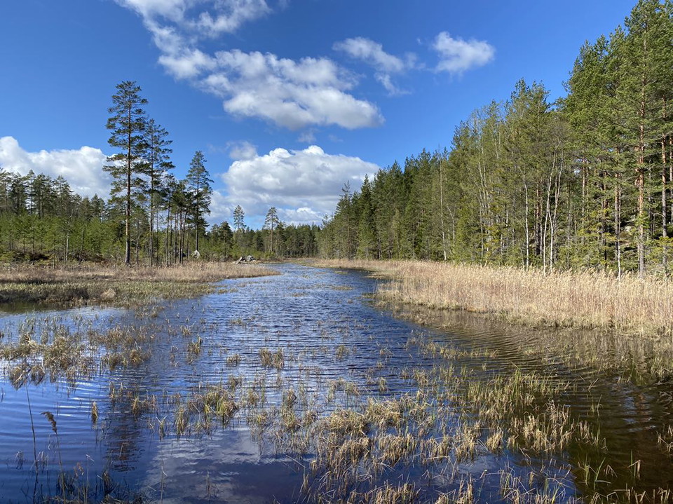
Jättåsarna has both beautiful nature and a historic mining environment. Iron ore was mined here as early as the 14th century. In several places you can see mine holes, slag heaps, house foundations, stone roads and other traces of mining. The top of Jättåsarna is one of the county's highest mountains at 231 meters above sea level. The soil in the reserve is rich in lime and other minerals, which means that unusual plants and fungi thrive here. There are also plenty of bilberries and common edible mushrooms.
Municipality: Fagersta
Year of protection: 2012
Area: 66 hectares
Manager: County Administrative Board
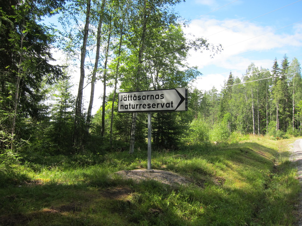
Jättåsarna is located a few kilometers southwest of Fagersta and borders the Svartberget nature reserve. You get here via road 66 towards Ludvika. Just after the Oti crossroads, turn right towards Hedkärra. At the T-junction, turn right again towards Ridhuset and follow the road until you see a sign with Jättåsarnas Naturreservat. There is the parking lot.
Welcome to visit the nature reserve!
There are rules that you as a visitor must follow. The rules are there to protect the area's natural values.
It is forbidden to:
Kontakta mig om du har frågor om Naturkartan Västmanland.
Daniel Anundi





Zadaj pytanie innym użytkownikom Naturkartan.
0 reviews
Nie ma jeszcze żadnych zdjęć użytkowników. Bądź pierwszym, który je udostępni!