
-
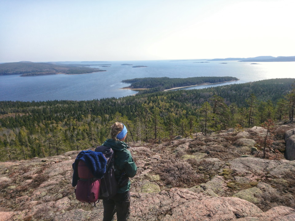
Leden går brant uppför och ger fin utsikt uppe på klipporna nära Tärnättvattnet. Foto: Johanna Öhrling, Länsstyrelsen
Grottstigen
- Wędrówki piesze
- Województwo: Västernorrlands län
- 6644.95 km od Ciebie
Szczegóły dotyczące szlaku
- Długość 0.8 km
- Trudność Czarny - doświadczony
Akcje
Opis
A very steep hiking trail between the coastal trail close to Tärnättholmarna and the smal lake of Tärnättvattnet.
Avoid in wet weather when the rocks are slippery.
If you want to take this trail its is much better going up (so you can use your hands) than down (hard on knees and feet and risk of falling).
The trail passes a cave.
Działania i udogodnienia
- Wędrówki piesze
Kontakt
Adres e-mail
Byłam tu 14


Chcę tu iść
Pytania i Odpowiedzi
Zadaj pytanie innym użytkownikom Naturkartan.
Opinie
0 recenzji
- 5 :
- 4 :
- 3 :
- 2 :
- 1 :
Zdjęcia użytkowników
Nie ma jeszcze żadnych zdjęć użytkowników. Bądź pierwszym, który je udostępni!
