• Röda spåret
    Röda spåret
  • Blå spåret
    Blå spåret
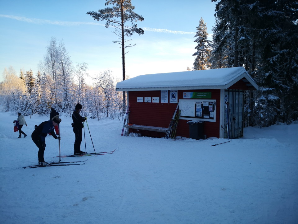
  • Vid spårcentralen startar alla spår.
    Vid spårcentralen startar alla spår.

Vintjärn skidspår

  • Narciarstwo
z 5 gwiazdek

Szczegóły dotyczące szlaku

  • Długość 71.4 km

Akcje

  • Wskazówki dojazdu

Opis

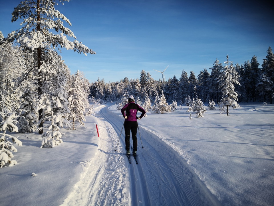
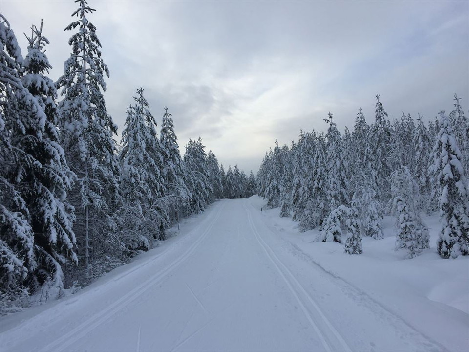
Vintjärn is located at a high altitude and is a very snow-sure area. The ski trails run along moderately hilly, winding forest roads and in the terrain of forest and marsh.

The Green trail is 1 km. It runs in light forest terrain and on marsh for the youngest. There is a barbecue area at the start.

The Blue trail is 9 km. It runs along forest roads in different loops and can be shortened if you do not want to go all 9 km.

The Red trail is 14 km and runs beautifully in the terrain, largely on marshes. Moderate hills. There is a possibility to shortcut to the blue trail after 3 and 6 km.

Keep in mind that the trails are affected by weather and wind, so please check the conditions and trail status before you go skiing.

The trails are managed by Svärdsjö ski and orienteering club.

Prognoza pogody (o godz. 12:00)

Wczytywanie…

Dojazd środkami transportu publicznego

Działania i udogodnienia

  • Narciarstwo

Kontakt

Adres e-mail

Kontaktcenter Falu kommun

Byłam tu

Chcę tu iść

Opinie

—

0 recenzji

z 5 gwiazdek

5 :
0.0%
4 :
0.0%
3 :
0.0%
2 :
0.0%
1 :
0.0%

Pytania i Odpowiedzi

Zadaj pytanie innym użytkownikom Naturkartan.

Zdjęcia użytkowników

Udostępnij swoje zdjęcia tego miejsca!

Naturkartan

Otwórz to w aplikacji