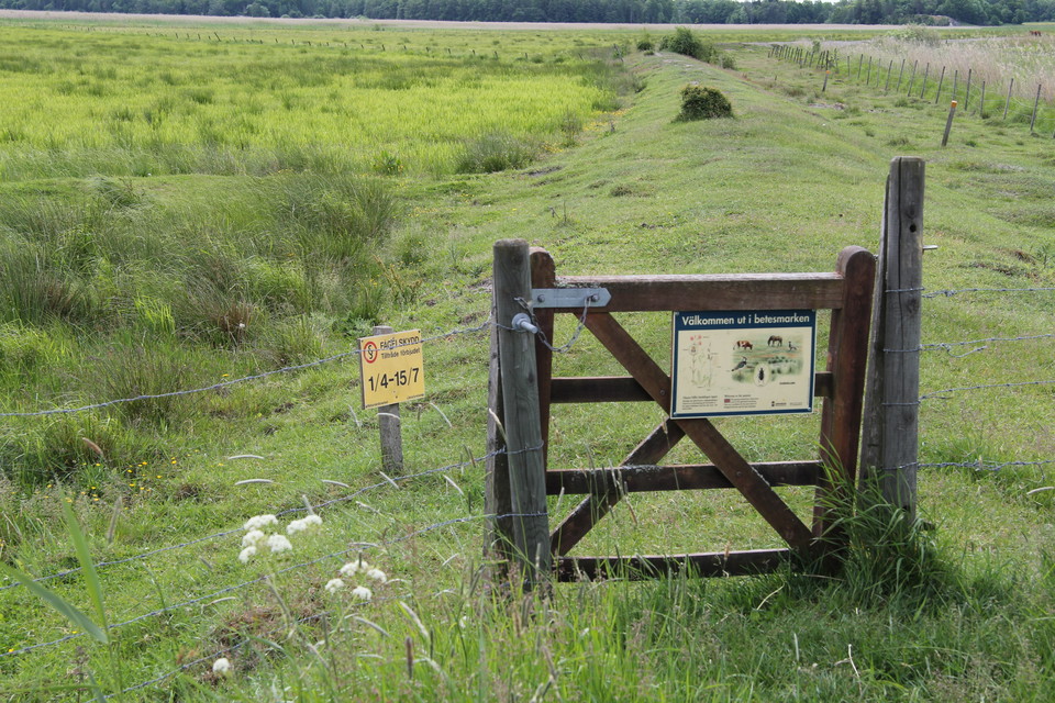
• Leden går in i en hage. På grinden finns en informationskylt.
    Zdjęcie: Ylva Granath
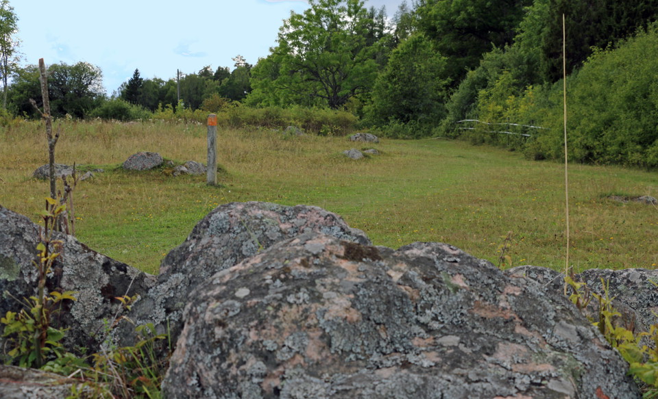
  • Stenar i hage. En gammal stubbe har fått orange färg för att visa vägen.
    Zdjęcie: Ulrika Mogren
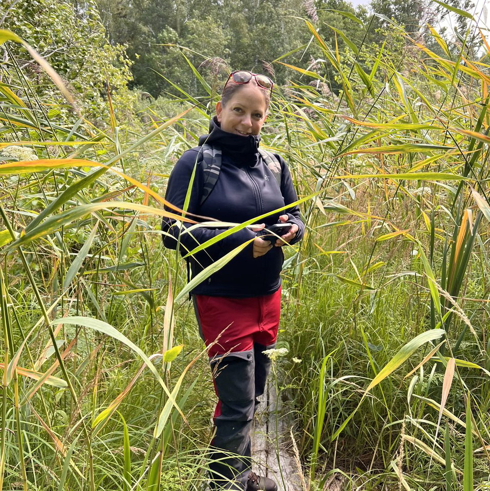
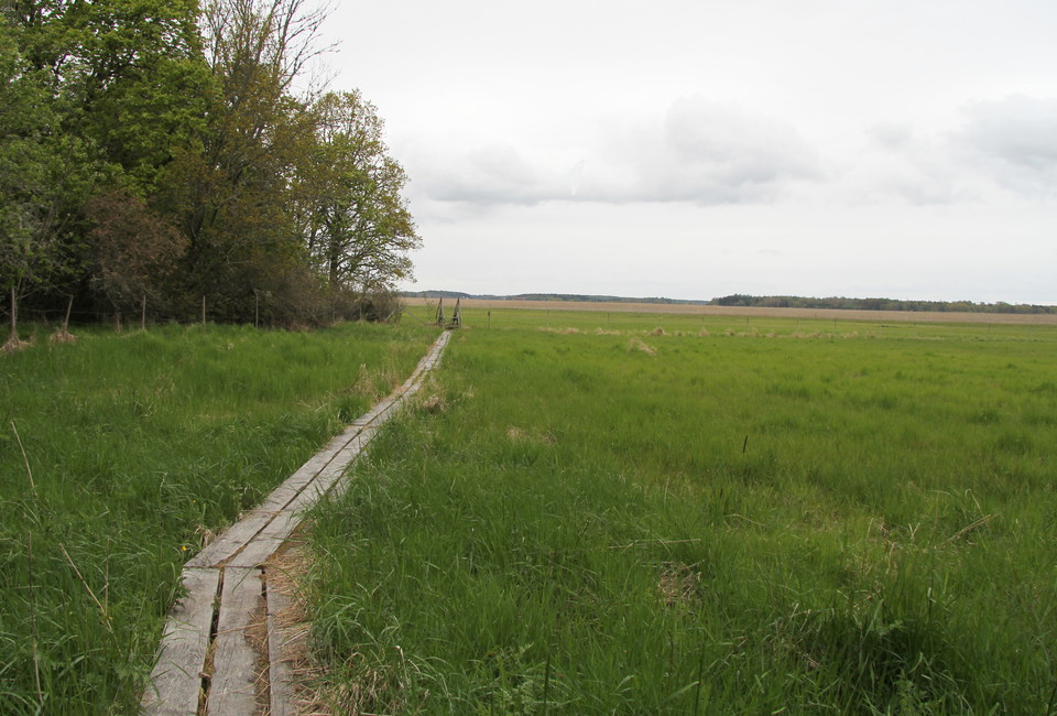
  • Lång träspång.
    Zdjęcie: Ylva Granath
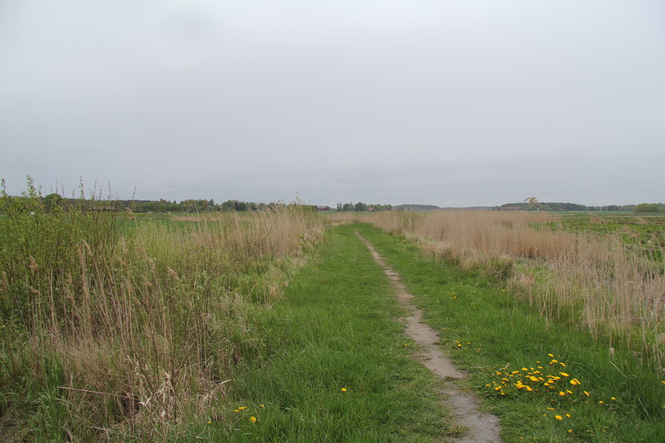
  • Smal stig mellan ängsmark.
    Zdjęcie: Ylva Granath
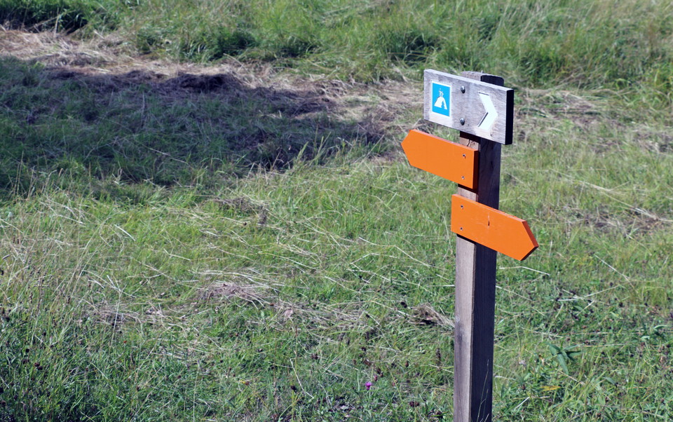
  • Stolpe med orange pilar visar vägen.
    Zdjęcie: Ulrika Mogren
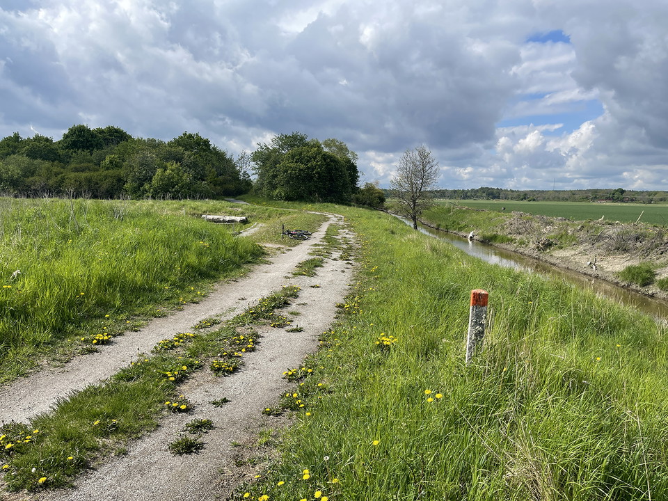
  • Grusväg med en orange ledmarkering.
    Zdjęcie: Ulrika Mogren

Vandringsled, Asköviken-Tidö

  • Wędrówki piesze
  • Dostęp dla wózków inwalidzkich
  • Dostęp dla wózków dziecięcych
  • Blisko parkingu
  • Blisko transportu publicznego
  • Blisko toalet
z 5 gwiazdek

Szczegóły dotyczące szlaku

  • Długość 4.2 km

Akcje

  • Wskazówki dojazdu

Opis

The hiking trail connects the different parts of the nature reserve, and joins the hiking trails at Askö in the north and Rudö in the south. It passes a couple of rest areas and past lookout hills and lookout points where you can watch for birds.

The hiking trail consists of both wider gravel paths, forest paths and footbridges over wet areas. It is marked with orange on trees and poles.

Prognoza pogody (o godz. 12:00)

Wczytywanie…

Dojazd środkami transportu publicznego

Działania i udogodnienia

  • Wędrówki piesze

Dostępność

  • Dostęp dla wózków inwalidzkich
  • Dostęp dla wózków dziecięcych
  • Blisko parkingu
  • Blisko transportu publicznego
  • Blisko toalet

Kontakt

Adres

Kontakta mig om du har frågor om Naturkartan Västmanland.

Adres e-mail

Daniel Anundi

Byłam tu 19

Chcę tu iść 36
Opinie

—

0 recenzji

z 5 gwiazdek

5 :
0.0%
4 :
0.0%
3 :
0.0%
2 :
0.0%
1 :
0.0%

Pytania i Odpowiedzi

Zadaj pytanie innym użytkownikom Naturkartan.

Zdjęcia użytkowników

Udostępnij swoje zdjęcia tego miejsca!

Naturkartan

Otwórz to w aplikacji