
-
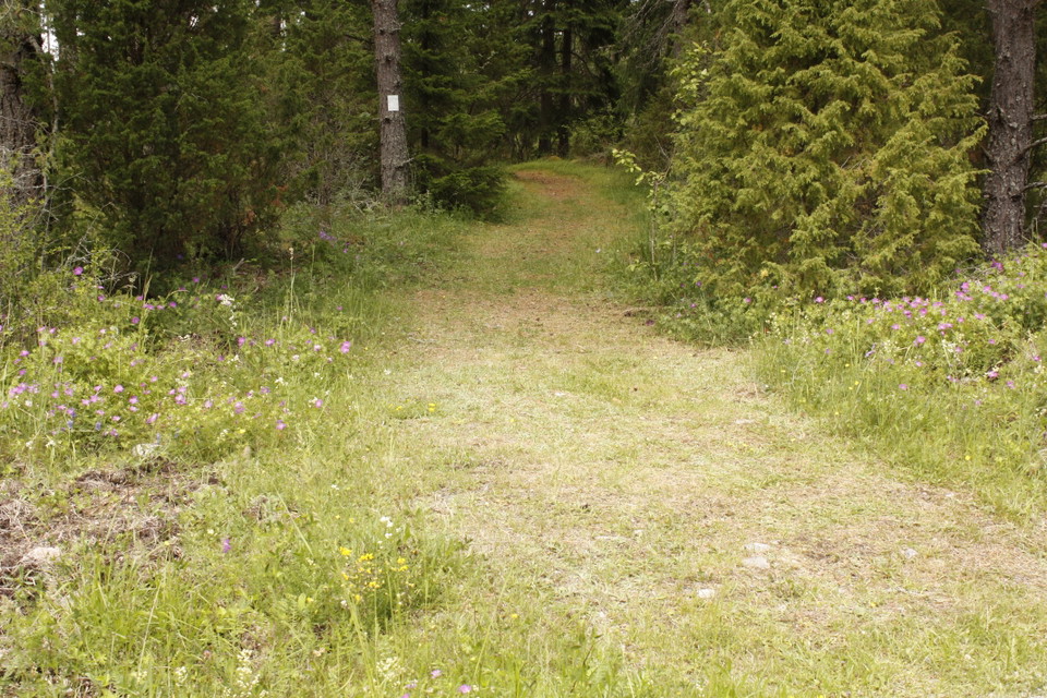
Zdjęcie: Emelie Runfeldt -
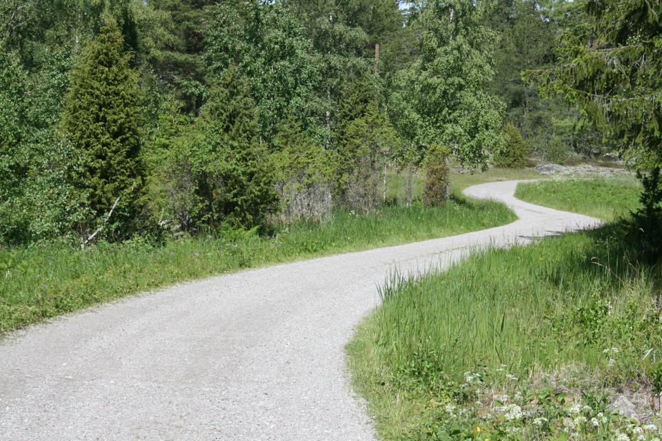
Zdjęcie: Karolina Vessby -
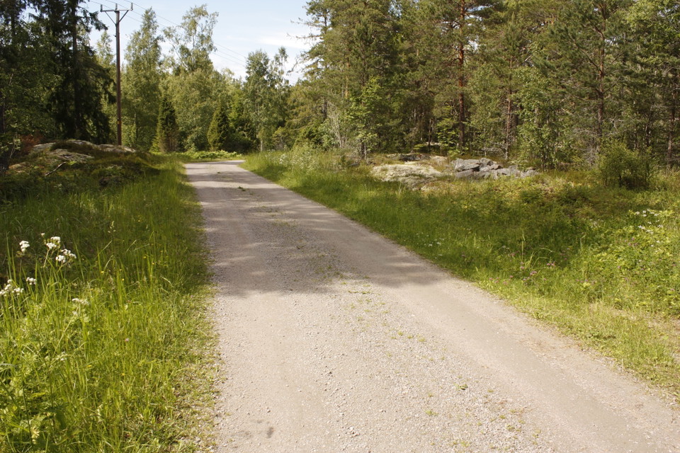
Zdjęcie: Emelie Runfeldt
Stigar, Rossholm, 1–1,5 km
- Wędrówki piesze
- Blisko parkingu
- Województwo: Uppsala län
- 6756.37 km od Ciebie
Szczegóły dotyczące szlaku
- Długość 3.0 km
Akcje
Opis
All trails start from the parking lot at the military tower. The path to Kranselberget and Rossholmsberget follows the gravel road through the village to the sea. You can catch a glimpse of the sea at the end of the road, and you can get there with a stroller. Otherwise, the paths in the area are simple forest paths where larger shoes are recommended. Both at Kranselberget, in the west, and at Rossholmsberget, in the east, the path ends outside the cliffs with views of the open sea. Both viewpoints are about 1 km from the parking lot.
Działania i udogodnienia
- Wędrówki piesze
Dostępność
- Blisko parkingu
Kontakt
Adres e-mail
Upplandsstiftelsen
Logotyp organizacji

Byłam tu 1

Chcę tu iść 3

Pytania i Odpowiedzi
Zadaj pytanie innym użytkownikom Naturkartan.
Opinie
0 recenzji
- 5 :
- 4 :
- 3 :
- 2 :
- 1 :
Zdjęcia użytkowników
Nie ma jeszcze żadnych zdjęć użytkowników. Bądź pierwszym, który je udostępni!
