
-
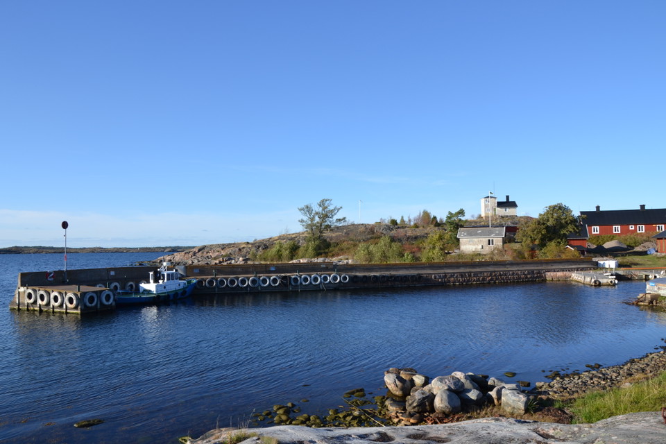
Häradskärs gästhamn -
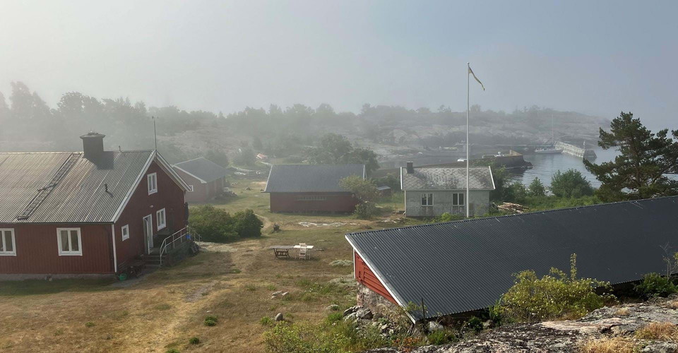
Utsikt från den fd lotsutkiken, även kallad vaktstugan. -
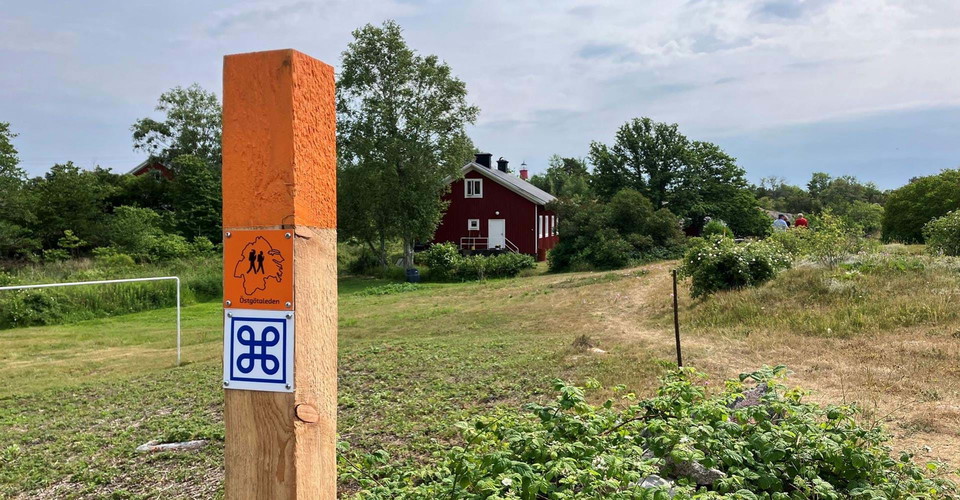
-
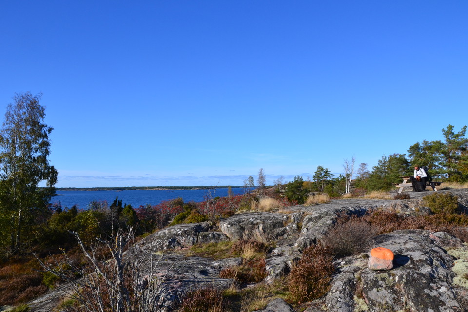
Bänkbord med utsikt. -
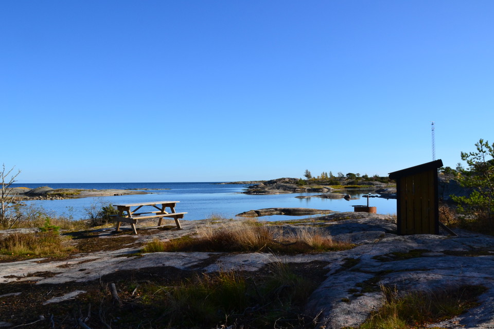
Häradskär grillplats -
-
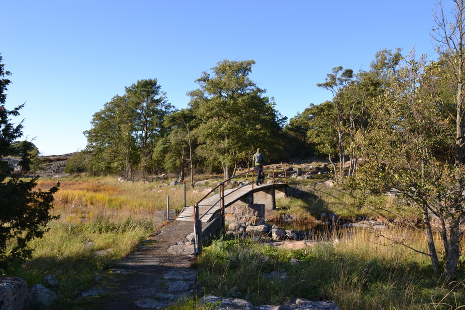
Bron mellan Häradskär och Stångskär. -
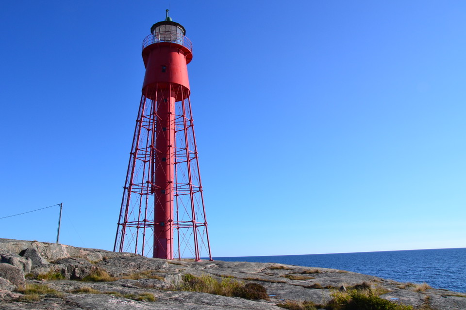
Häradskärs fyr, uppförd 1863. -
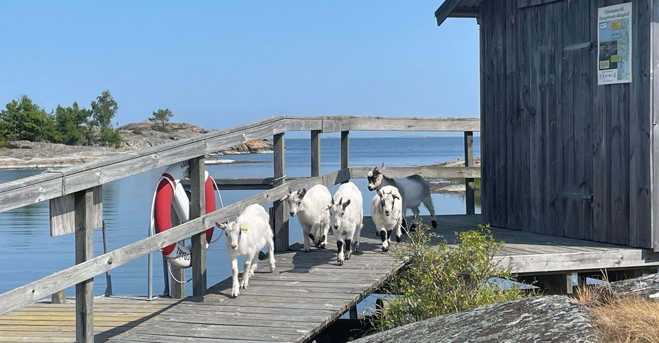
Sopmaja på Stångskär. -
-
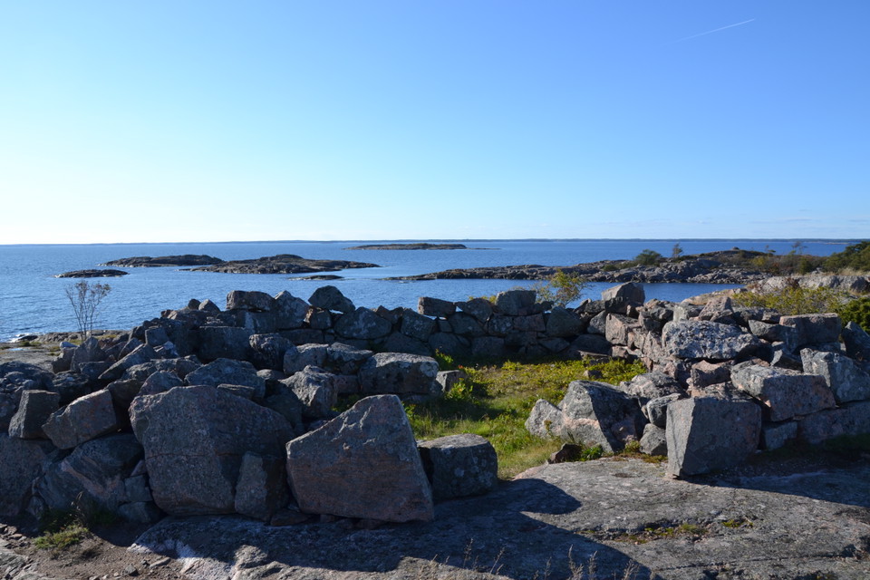
Grundstenar från åttakantiga båken som uppfördes 1741. -
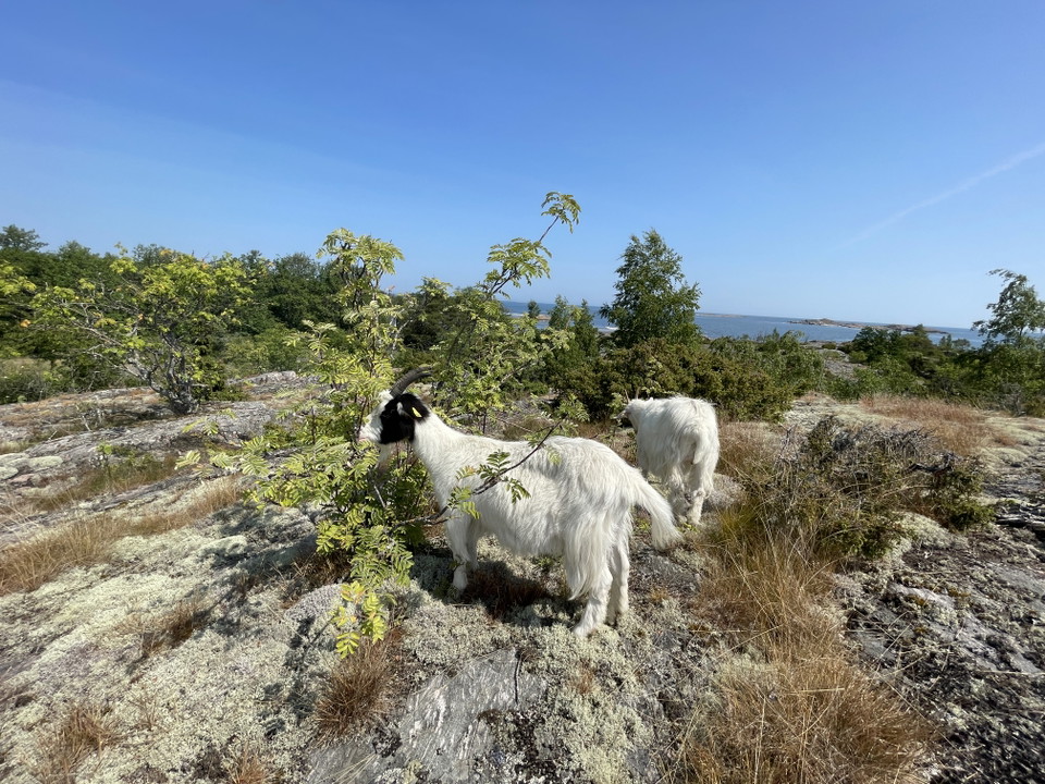
Betande getter
Häradskär rundslinga, Östgötaleden
- Pętla okrężna
- Wędrówki piesze
- Województwo: Östergötlands län
- 6850.90 km od Ciebie
Szczegóły dotyczące szlaku
- Długość 1.9 km
- Trudność Niebieski - średni
Akcje
Opis
[by goole translate]
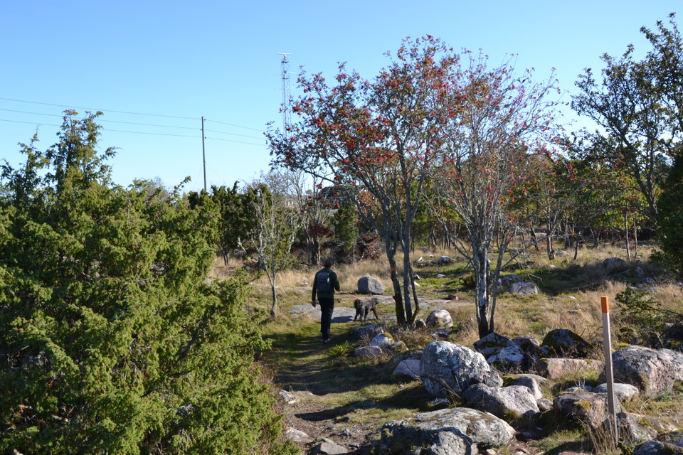
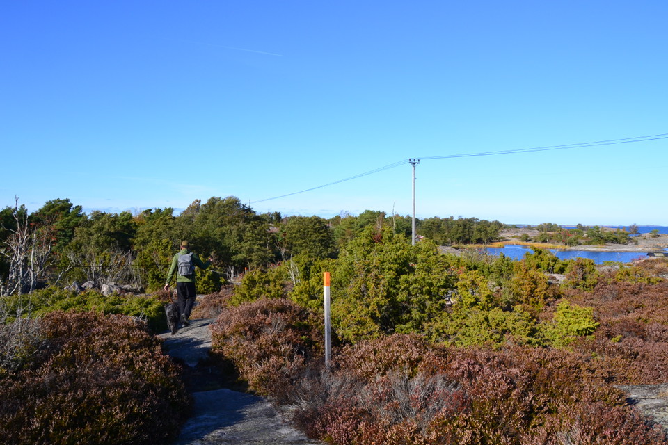
Hiking in Gryt's outer archipelago. A short loop takes you from Häradskär's guest harbor to the former pilot station. Along the circular loop there is a barbecue area with a bench table and an extensive view. The trail passes the remains of a fishing village as well as a solitary building that was once used by the military to listen to radio traffic.
Right next to Häradskär is Stångskär, the two islands are connected by a small bridge. Here stands the stately red Heidenstam lighthouse made of iron. On your way to the lighthouse, you pass the former lighthouse keeper's residence.
The Statens Fastighetsverk and Valdemarsvik municipality have run an EU project to equip and make Fyrplatsen on Häradskär accessible to the public. Gryts Hembygdsförening has helped on a non-profit basis with continued refurbishment.
The lighthouse is a unique environment far from highways and the stress of the big city. You can get here with your own boat but also with a tour boat in the summer. Here, short-term rentals and weekly rentals are offered in the old lighthouse keeper's residences. Snuggle down to the safe glow of the lighthouse and fall asleep to the sound of the crashing waves.
Read more at Valdemarsvik municipality
LIVESTOCK MAY BE GRAZING
Działania i udogodnienia
- Wędrówki piesze
- Pętla okrężna
Powierzchnia
Stig över klippor, Skogsstig, Skärgård
Komunikacja
Hit tar du dig med egen båt eller med båttaxi från Fyrudden. Läs om olika alternativ här: Valdemarsviks kommun / Skärgårdstaxi och transport
Pobrane pliki
Kontakt
Adres
Välkommen till Östgötaleden, 150 mils vandring i Östergötland!
Adres e-mail
Kontakt Östgötaleden
Logotyp organizacji

Byłam tu
Chcę tu iść 5



Pytania i Odpowiedzi
Zadaj pytanie innym użytkownikom Naturkartan.
Opinie
0 recenzji
- 5 :
- 4 :
- 3 :
- 2 :
- 1 :
Zdjęcia użytkowników
Nie ma jeszcze żadnych zdjęć użytkowników. Bądź pierwszym, który je udostępni!
