
241 Vällistetoppen (vandringsled, Trillevallen)
- Wędrówki piesze
- Bieganie szlakami
- Blisko parkingu
- Blisko toalet
- Województwo: Jämtlands län
- 6397.83 km od Ciebie
Szczegóły dotyczące szlaku
- Długość 4.2 km
- Trudność Czerwony – wymagający
Akcje
Opis
Działania i udogodnienia
- Wędrówki piesze
- Bieganie szlakami
Dostępność
- Blisko parkingu
- Blisko toalet
Fakty
Start/finish
The trail starts and returns to Trillevallens Högfjällshotell (the trail can also be started from the parking lot of the alpine resort).
Difficulty level
Red - medium difficulty
Time
How fast you hike a trail in a mountain environment varies greatly, but expect to cover an average of 3-5 kilometers per hour depending on how many stops you make.
Signage/trail markings
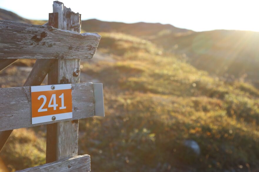
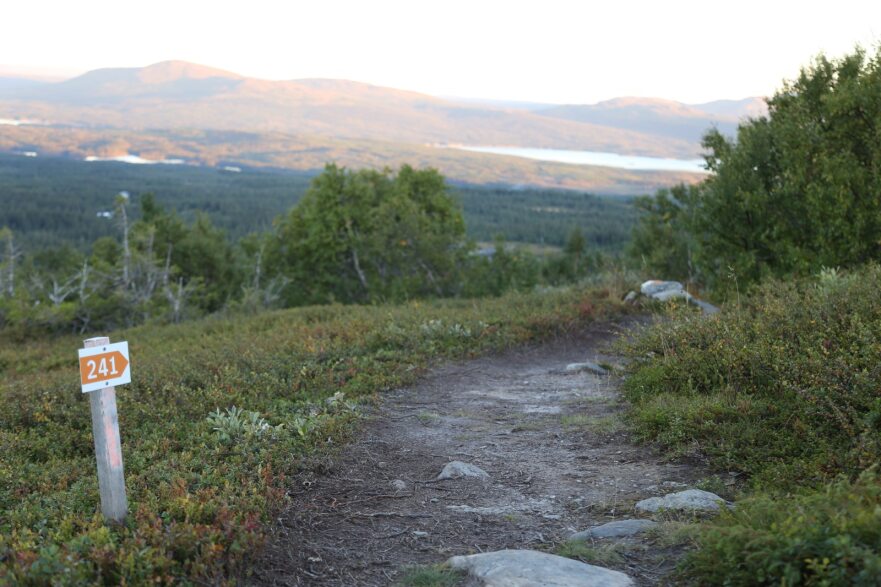
The trail is marked with posts with orange markings, partial trail crosses and trail number 241.
Physical map
The trail is marked on the Mountain Map and on Södra Årefjällen's trail map "Mountain experiences".
Trail fee
Trail manager
Recommended period
This trail runs partly in areas that are very sensitive when the ground is wet. Avoid the trail during snowmelt and also when there has been heavy rain.
It is good to bring an extra windbreaker even if the weather forecast looks good.
To look out for the trail
When you hike or run this trail, you pass Norra stugan, Ytterstvallen and Ludumyrens vindskydd for nice breaks after the road.
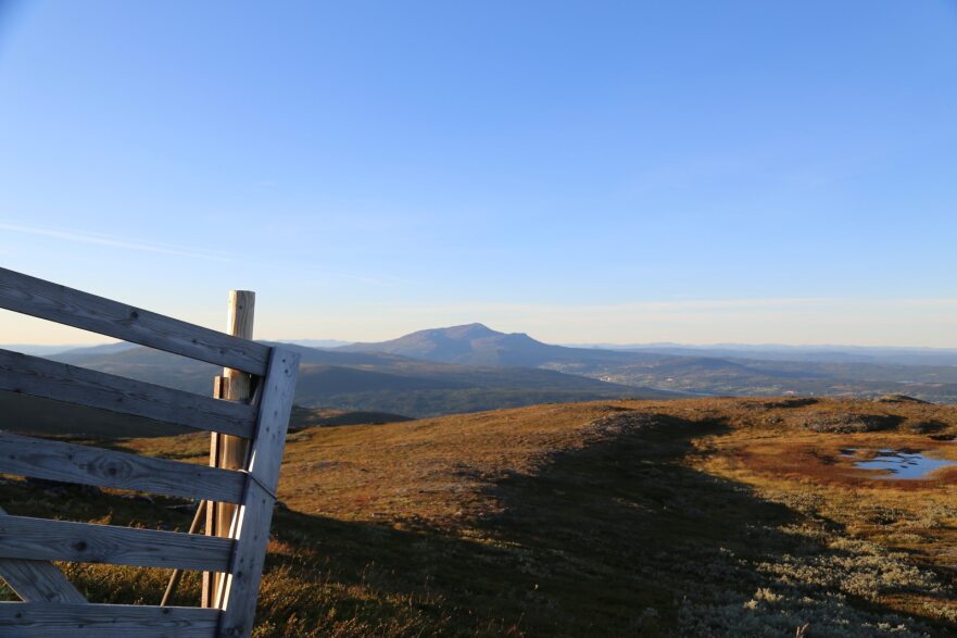
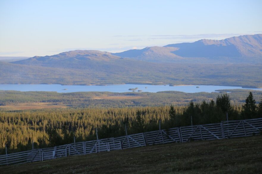
The view is miles wide and you will quickly get up to get the mountain feeling when you hike the trail.
On your feet
Depending on the season and weather, this trail is sometimes more or less wet/muddy. Water-resistant hiking boots or rubber boots are recommended.
Garbage
After the trail there are no garbage cans so don't forget to bring an extra bag in your pack to carry the garbage back home.
Dog
Dogs are welcome on a leash on the mountain. Also pick up after your dog if it has ended up in a place where someone else may risk walking in it.
Wzgórza
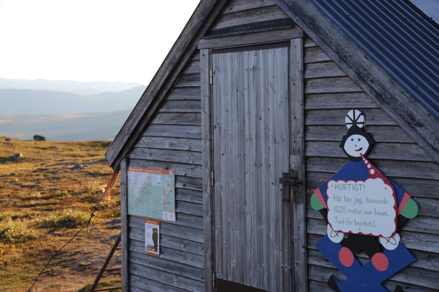
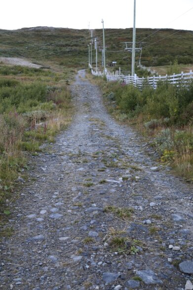
Trasa zaczyna się prosto w górę na ulicy windy, a następnie wyłącza się i podąża za przerywaną drogą po obszarze narciarskim. Podążasz drogą aż na szczyt Välliste 1025 mh. Oto wskazówka, aby zatrzymać i cieszyć się wspaniały widok we wszystkich kierunkach przed kontynuowaniem nad płaskowyżem górskim i w dół z drugiej strony.
Ślad fałduje się z powrotem, a następnie podążasz po stronie góry całą drogę, aż ponownie dotrzeć do obszaru narciarskiego i przejść pod windą, a następnie przejść ostatni bit tej samej drogi na ulicy windy, jak zaczynałeś.
Parking
Parking directly adjacent to the start of the Trillevallen cross-country trail can be found by following the Trillevallen road until you have passed Trillevallens Högfjällshotell. Just after the hotel you will see the parking lot to the left of the road.
63.262197215190575, 13.17649016756386
This parking is always free for those who have a season lift pass or annual/season track pass in Trillevallen. To register your car, you need to contact the lift pass office and get your car registered.
If you do not have these track or lift passes and want to park between 9-17 during the period 26/12 - 8/1 or 17/2- 16/4, you pay your parking.
The parking is monitored by Aimo Park and you register your parking easily in the Aimo app. If you do not have the app, you can also pay via SMS info on the signs on site.
Zone code 1215.
Wskazówki dojazdu
Od E 14, skręć w lewo do Undersåker. Następnie przechodzisz przez kolej i podążasz za sygnałem do Trillevallen.
[Mapy Google] (https: / / www.google.se / maps / dir / Trillevallen / @ 63.2595701.13.1826487.683m / data =! 3m1! 1e3! 4m9! 4m8! 1m5! 1m1! 1s0x466e7226507b05: 0x225f500ecd171e0c! 2m2! 1d13.1870276! 2D63.2595873! 1m0! 3e0)
Raz w Trillevallen istnieją trzy możliwości parkowania. Na Högfjällshotellet, tor start dla nart biegowych znajdujących się po lewej stronie drogi, lub na dużym parkingu w centrum narciarskim.
Zacznij szukać w ośrodku narciarskim.
Należy pamiętać, że niektóre z tych tekstów zostały przetłumaczone automatycznie.
Byłam tu 1

Chcę tu iść 1
Opinie
—
0 recenzji
- 5 :
- 4 :
- 3 :
- 2 :
- 1 :
Pytania i Odpowiedzi
Zadaj pytanie innym użytkownikom Naturkartan.
Zdjęcia użytkowników
Udostępnij swoje zdjęcia tego miejsca!
